Osh Region links the towns of the Fergana Valley with Alay’s high mountain roads. Osh is a starting point for city walks and southern trips, while Sary-Tash is a separate base by mountain roads.
In Osh, daytime temperatures reach at least +15° from April to October. July is hottest, at around +31° by day. Sary-Tash is at 3,170 m and Taldyk Pass at 3,615 m: mountains warm up later and cool down earlier.
Spring
March–May
Sary-Mogol · +13…+23° by day in Osh
Summer
June–August
Osh · +28…+31° by day in Osh
Autumn
September–November
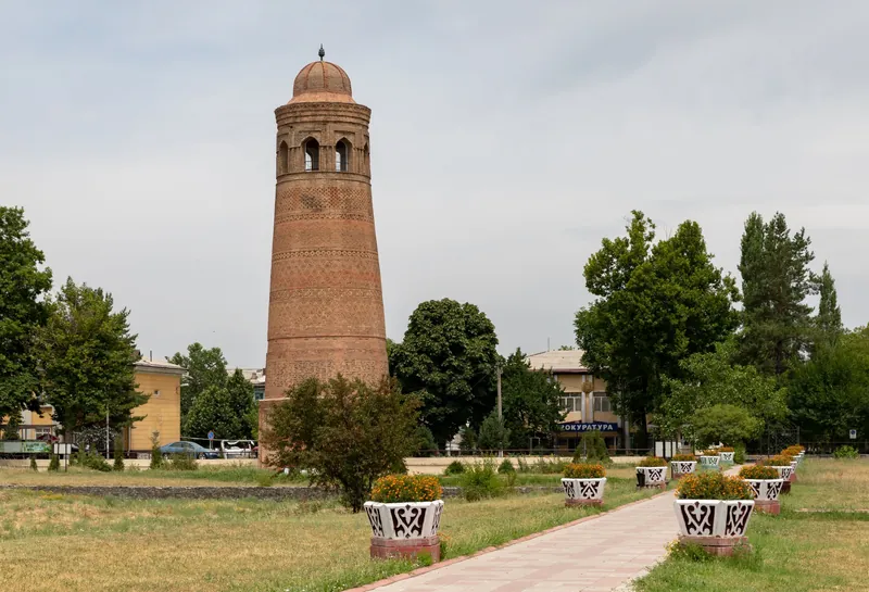
Uzgen Minaret · +11…+25° by day in Osh
Winter
December–February
Kyrgyz-Ata · +4…+7° by day in Osh
Daytime by month
Town
Jan
Feb
Mar
Apr
May
Jun
Jul
Aug
Sep
Oct
Nov
Dec
Osh998 m
+4
+7
+13
+18
+23
+28
+31
+29
+25
+17
+11
+5
Average daytime temperature for 2016–2025, °C; nights are 6–15° colder — hover over a cell. Towns are ordered by elevation, from valleys to mountains.
Other regions
Six other regions
Bishkek is grouped with Chuy Region, and Osh with Osh Region.

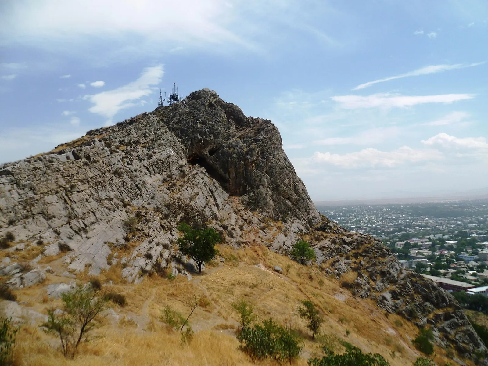
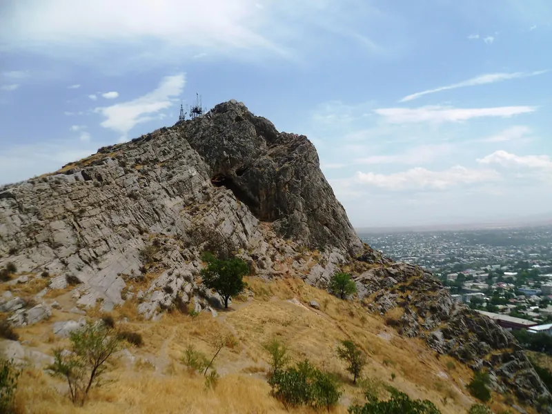
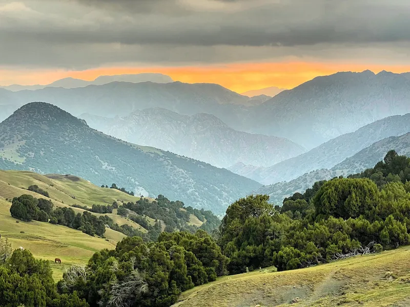
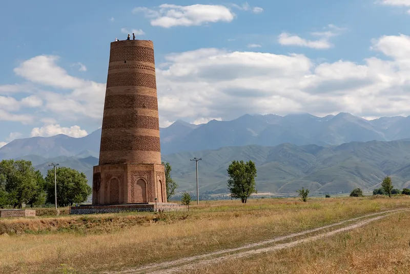 15 highlights · 59 placesChuy RegionAla-Archa, Burana, Balasagun, Suyab — Ak-Beshim archaeological site, Ala-Too Squareregion page →
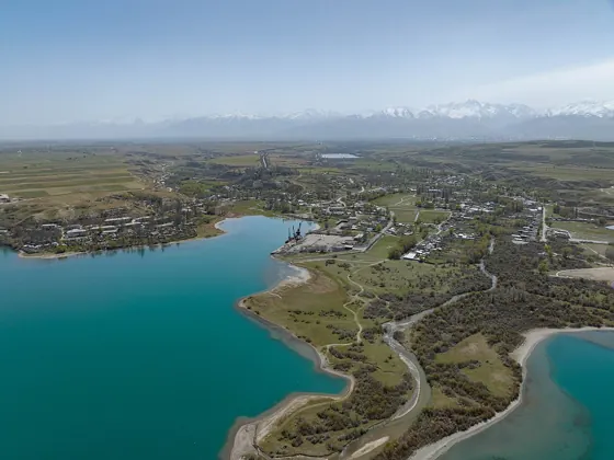 14 highlights · 66 placesIssyk-Kul RegionPrzhevalsky Museum, Karakol History Museum, Issyk-Kul, Ala-Kol, Holy Trinity Cathedralregion page →
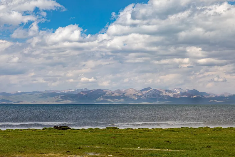 9 highlights · 34 placesNaryn RegionTash Rabat, Song-Kol, Chatyr-Kol, Kol-Suu, Torugartregion page →
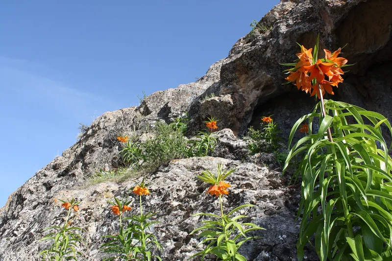 3 highlights · 14 placesBatken Regionregion page →
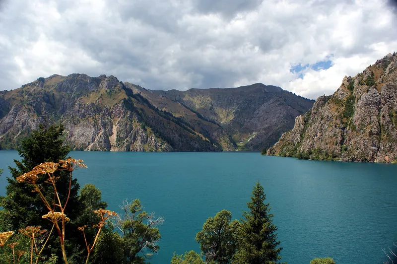 10 highlights · 38 placesJalal-Abad RegionSary-Chelek, Padysha-Ata, Toktogul Reservoir, Besh-Aralregion page →
 2 highlights · 10 placesTalas RegionBesh-Tash State Nature Parkregion page →