
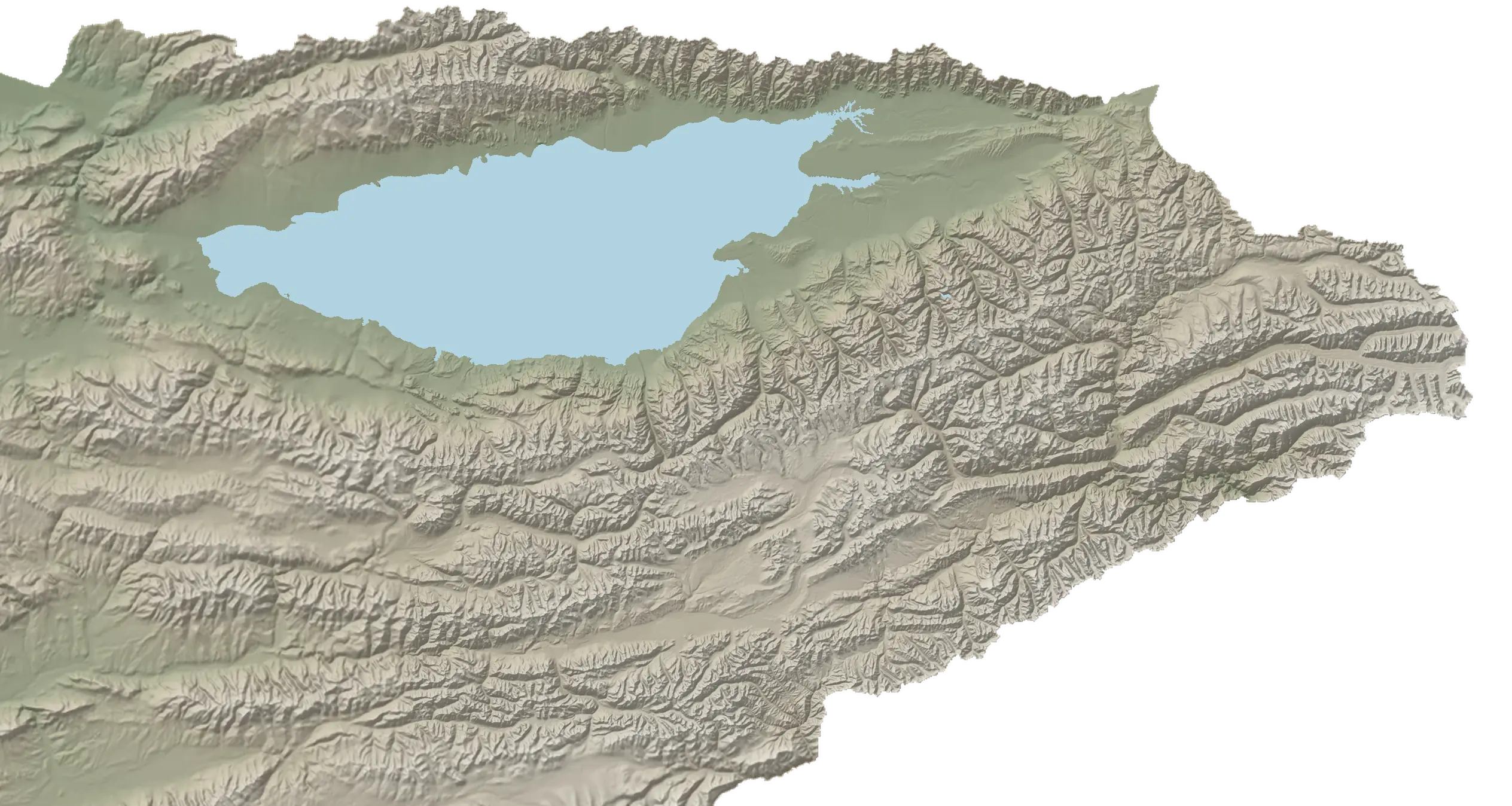
Issyk-Kul
A lake encircled by mountains: northern beaches, southern canyons, gorges around Karakol and the remote eastern valleys. 63 places in five areas of the region.
- 1,607 mlake elevation
- ≈443 km aroundnorth 219, south 224 km
- 63 placesroutes, culture, travel bases
- June — September56+ places open
- Check journey timeBishkek → Karakol · services and roads change
Highlights
Around the lake: ten places on the loop
A ≈443 km loop, clockwise from Balykchy: northern shore, Karakol and its valleys, southern shore. The map on the left follows the loop with you.
-
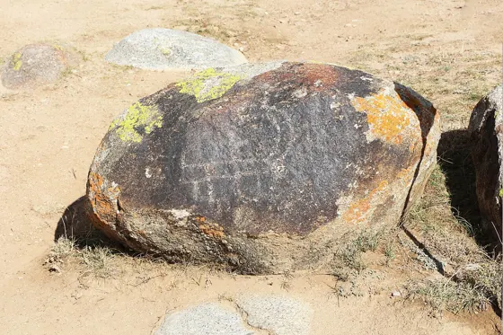
Northern shore · ≈82 km from Balykchy1 / 10
Cholpon-Ata petroglyphs
A large rocky site has images of animals, hunters and hunting scenes.
Next: Semenov Gorge → -
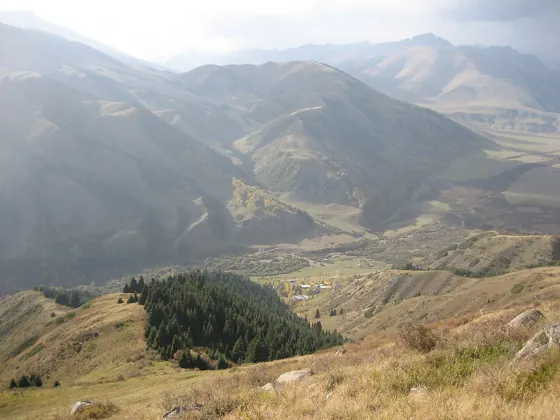
Northern shore · ≈125 km from Balykchy2 / 10
Semenov Gorge
In the valley, choose a short riverside walk or continue towards Kyrchyn.
Next: Karkara valley → -
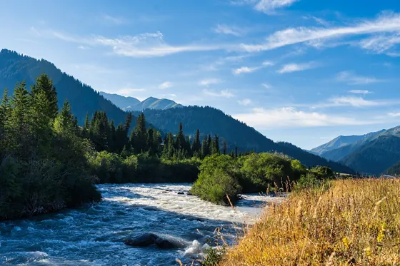
Eastern mountain valleys · ≈274 km from Balykchy3 / 10
Karkara valley
Visit Karkara on a separate driving trip or as part of a multi-day programme through the eastern valleys.
Next: Karakol → -
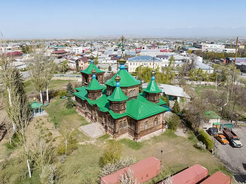
Karakol and surroundings · ≈219 km from Balykchy4 / 10
Karakol
A town near the eastern shore of Issyk-Kul. Walks through old neighbourhoods, local food and trips into mountain valleys.
Next: Lake Ala-Kol → -
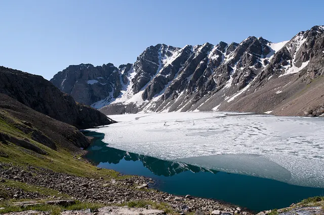
Karakol and surroundings · ≈247 km from Balykchy5 / 10
Lake Ala-Kol
Ala-Kol is a high mountain lake at around 3,500 metres, reached on foot. One option is a three-day route from Karakol via the lake and Altyn-Arashan.
Next: Seven Bulls rocks → -
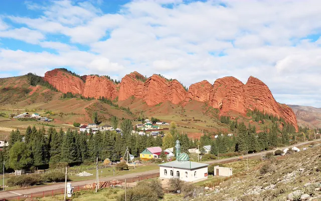
Karakol and surroundings · ≈215 km from Balykchy6 / 10
Seven Bulls rocks
Seven Bulls is a group of red rocks in the Jeti-Oguz valley, opposite the sanatorium. Visit as a separate stop or on a trip to Kok-Jaiyk and the waterfall.
Next: Barskoon waterfalls → -
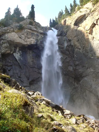
Southern shore · ≈165 km from Balykchy7 / 10
Barskoon waterfalls
Trails of different lengths and gradients lead to the waterfalls.
Next: Tamga-Tash → -
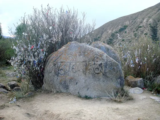
Southern shore · ≈143 km from Balykchy8 / 10
Tamga-Tash
These are several separate inscribed stones above the village.
Next: Skazka Canyon → -
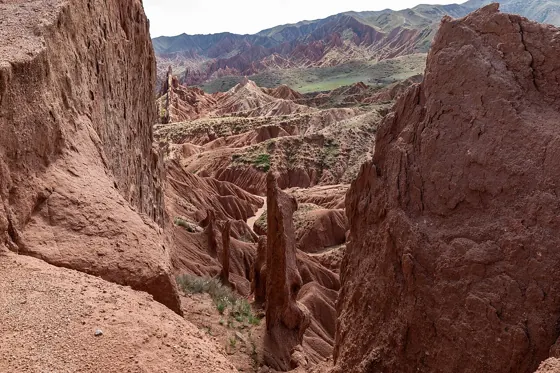
Southern shore · ≈126 km from Balykchy9 / 10
Skazka Canyon
The canyon lies near the southern shore, in the Tosor area.
Next: Tuz-Kol salt lake → -
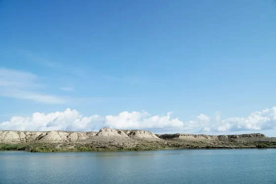
Southern shore · ≈72 km from Balykchy10 / 10
Tuz-Kol salt lake
Tuz-Kol, also known as Kara-Kol, lies separately from the large Issyk-Kul.
Next: 63 places in the region by area ↓
All places
63 places in the region by area
Routes, cultural sites and bases. Filter by category or by what is open in the selected month.
Western shore3
No places in this area match the filter.
Northern shore16
- route · Mountain valleySemenov GorgeThe Kichi-Ak-Suu river, coniferous slopes and access to Kyrchyn.All year
- culture · Culture and historyCholpon-Ata petroglyphsPetroglyphs on boulders in the open air.All year
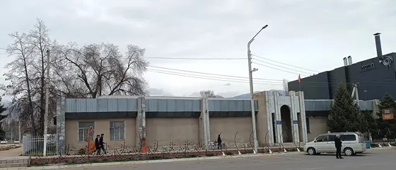 culture · Culture and historyIssyk-Kul History MuseumArchaeology, daily life and regional history in central Cholpon-Ata.All year
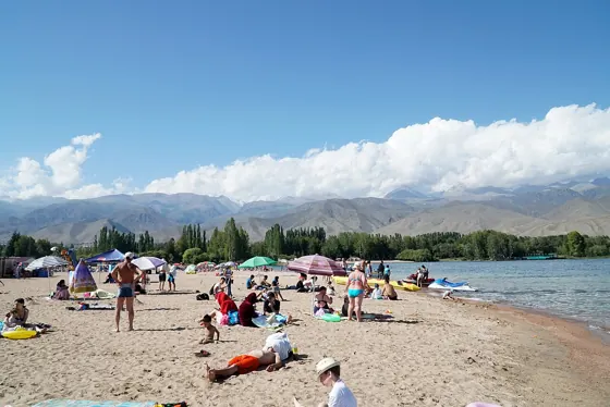 base · TownCholpon-AtaBeaches, petroglyphs and Ruh Ordo on the northern shore.All year
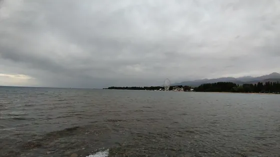 base · Village and surroundingsBosteriA resort village near Cholpon-Ata.June — September
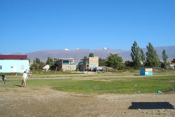 base · Village and surroundingsTamchyBeach holidays and guesthouses between Balykchy and Cholpon-Ata.June — September
 base · Village and surroundingsBulan-SogottuLakeside holiday accommodation east of Bosteri.June — September
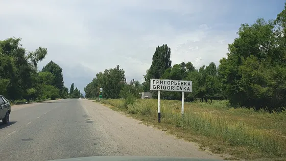 base · Village and surroundingsGrigorevkaA village on the road to Grigoriev Gorge.
No places in this area match the filter.
Karakol and surroundings19
- route · LakeLake Ala-KolA high mountain lake and a walking route with climbs.June – mid-Octoberpage →
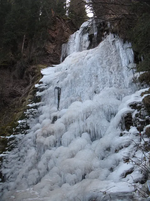 view of the surroundingsroute · WaterfallMaiden Braids WaterfallA walk through spruce forest to a waterfall in the valley.May — Octoberpage →
- route · Nature walkSeven Bulls rocksRed rocks near the resort, a stop before the valley trip.All yearpage →
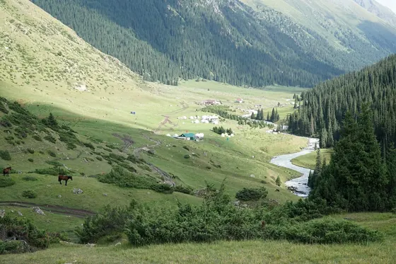 route · Mountain valleyAltyn-ArashanValley and hot springs via Ak-SuuMay — October
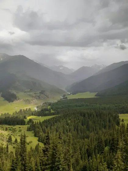 route · Mountain valleyKok-JaiykBeyond the red rocks: a valley, meadows and seasonal yurt camps.May — Octoberpage →
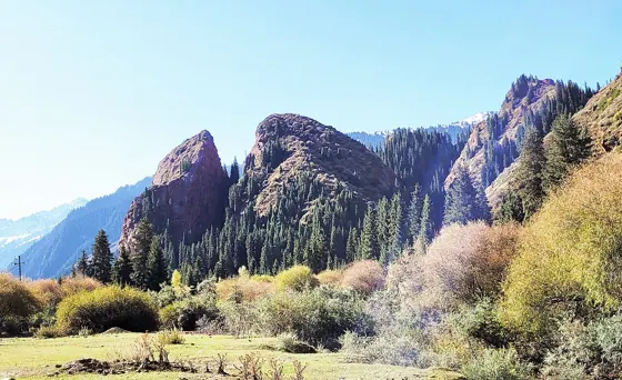 route · Nature walkBroken Heart rockRed rocks on the road to Jeti-Oguz resort.All yearpage →
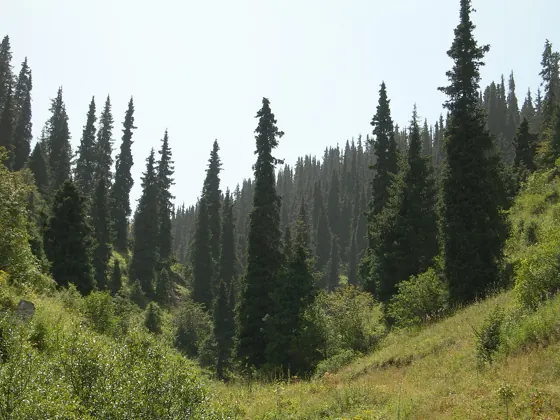 route · Mountain valleyKarakol GorgeThe forested Karakol River valley and the start of mountain routes.May — October
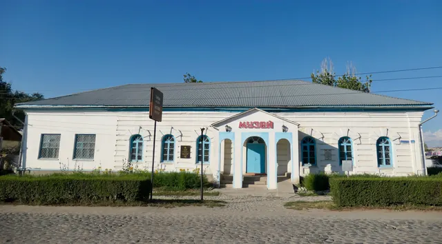 culture · Culture and historyKarakol History MuseumRegional history, archaeological finds and traditional life.All year
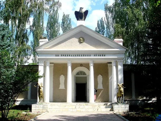 culture · Culture and historyPrzhevalsky MuseumA museum, monument and park at Pristan-Przhevalsk. You can continue separately to Issyk-Kul.All year
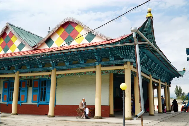
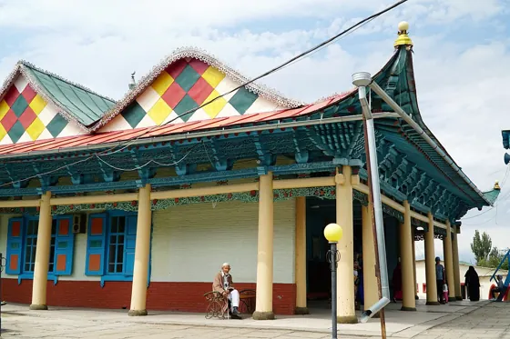 culture · Culture and historyDungan MosqueA wooden mosque in the Chinese architectural tradition.All yearpage →
 base · TownKarakolA city walk and a starting point for mountain trips.All yearpage →
No places in this area match the filter.
Eastern mountain valleys10
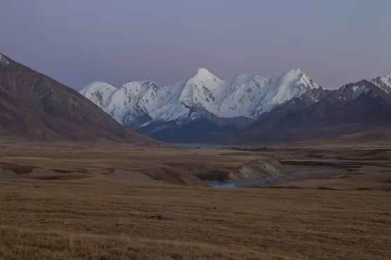 route · Remote tripSary-Jaz valleyA mountain valley in the east of the region, beyond the shoreline day trips.May — October
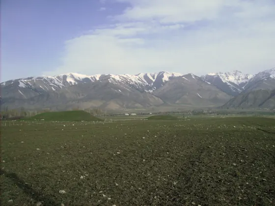 view of the surroundingsbase · Village and surroundingsTyupThe junction of the eastern shore and the road to Karkara.
No places in this area match the filter.
Southern shore15
- route · Nature walkSkazka CanyonShort walks among multicoloured clay rocks.All year
- route · WaterfallBarskoon waterfallsSeveral waterfalls on the slopes of a forested gorge.All year
- route · LakeTuz-Kol salt lakeA small salt lake near the south-western shore.June — August
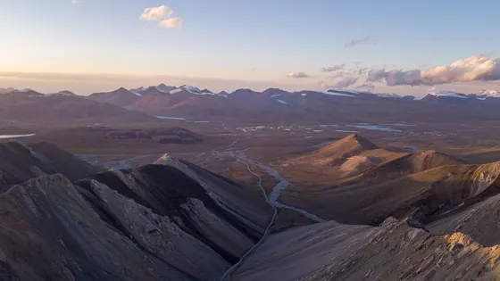 route · High plateauArabel PlateauA high plateau with lakes beyond Barskoon Gorge.June — September
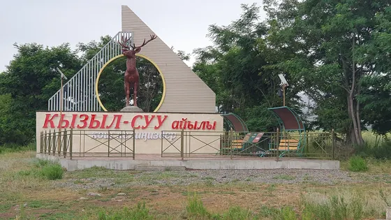 base · Village and surroundingsKyzyl-SuuA southern-shore village and starting point for mountain valleys.
No places in this area match the filter.
Bases
Where to stay: 22 bases around the lake
A town or village from which to visit places. The circle shows how many places are nearby; the distance is by road from Balykchy.
- Karakol and surroundingsKarakol25 places nearby · 219 km from Balykchybase page →
- Northern shoreCholpon-Ata13 places nearby · 79 km from Balykchy
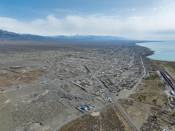 Western shoreBalykchy2 places nearby · 0 km from Balykchy
- Northern shoreTamchy1 place nearby · 43 km from Balykchy
14 more villages on the shore, without their own trips: Semenovka, Kyzyl-Suu, Tyup, Bosteri, Chok-Tal, Bulan-Sogottu, Sary-Oy, Chon-Sary-Oy, Grigorevka, Tosor, Kadzhi-Sai, Kyzyl-Tuu, Engilchek, Ak-Suu.
Seasons
One region — four seasons
Summer is for everything: shores, mountains and remote valleys. At other times, about half the places are open. The number shows how many are in season.
-
Spring
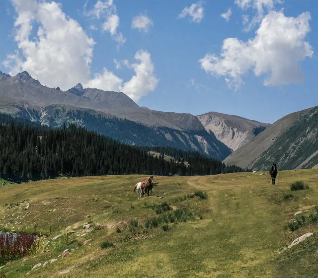
March–MayThe shore is empty and cool, with the first grass in the gorges; southern canyons are dry and warm. Mountain trails are still under snow.
- March25 of 63
- April25 of 63
- May40 of 63
-
Summer
June–AugustThe season for northern beaches and hiking: mountain lakes, passes and high plateaux are open. The shore is at its busiest.
- June56 of 63
- July56 of 63
- August56 of 63
-
Autumn
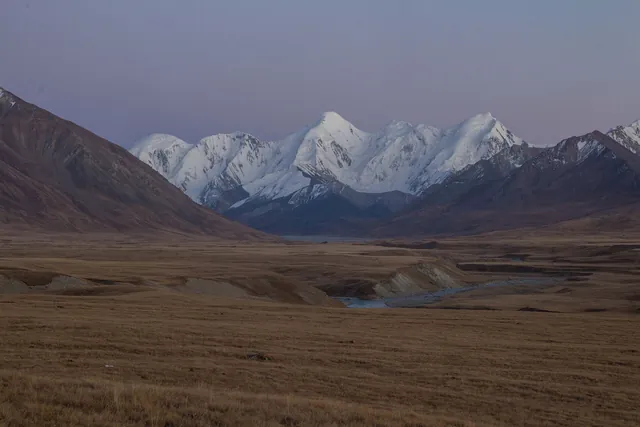
September–NovemberSeptember is still in season for mountains and remote valleys; trails and camps close from October. The shore is quiet and the water cold.
- September55 of 63
- October40 of 63
- November25 of 63
-
Winter
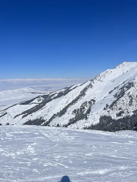
December–FebruarySkiing above Karakol, museums and bazaars, and walks in the southern canyons. The high mountains are closed.
- December25 of 63
- January25 of 63
- February25 of 63
What is open by month
| Area | Jan | Feb | Mar | Apr | May | Jun | Jul | Aug | Sep | Oct | Nov | Dec |
|---|---|---|---|---|---|---|---|---|---|---|---|---|
| West2 | 2 | 2 | 2 | 2 | 2 | 2 | ||||||
| North14 | 6 | 6 | 6 | 6 | 6 | 14 | 14 | 14 | 14 | 6 | 6 | 6 |
| Karakol18 | 12 | 12 | 12 | 12 | 16 | 18 | 18 | 18 | 18 | 17 | 12 | 12 |
| East9 | 1 | 1 | 1 | 1 | 7 | 9 | 9 | 9 | 9 | 7 | 1 | 1 |
| South13 | 6 | 6 | 6 | 6 | 9 | 13 | 13 | 13 | 12 | 8 | 6 | 6 |
Colour shows the share of places in season within each area; the number shows how many.
Getting there
Getting to and around the region
To the region from Bishkek via Balykchy, or from Almaty via Kegen
From Bishkek
Check journey time for your dateChoose a specific service and check the route and road conditions before leaving.
Around the lake
≈443 km219 km along the northern shore, 224 km along the southern shore, from Balykchy to Karakol
Between towns
Cholpon-Ata → KarakolMarshrutka ≈2 h, from 200 som check for your date
By air
Karakol airportFlights mainly from Bishkek check for your date
From Almaty
420 km to Karakol7–8 h via Kegen, private transport
Check before travelling
- Border-zone permit for Sary-Jaz and Engilchek: arrange 5–12 days aheadtour operator
- Are camps and passes open in May and October?local operators
- Book the return ticket from Karakol in advanceGoBus
Ask locally
- Marshrutkas between southern-shore villagesbus station, guesthouse
- Time needed for the loop with stopsdriver
Places with their own page
- Altyn-Arashanroute
- Balykchybase
- Boom, Orto-Tokoy and Song-Kolroute
- Bosteribase
- Bulan-Sogottubase
- Barskoon waterfallsroute
- Grigorevkabase
- Sary-Jaz valleyroute
- Dungan Mosquecultural site
- Jeti-Oguz in a dayroute
- Jeti-Oguz and the valley of flowersroute
- Issyk-Kul History Museumcultural site
- Karakol History Museumcultural site
- Skazka Canyonroute
- Karakolbase
- Karakol Gorgeroute
- Kok-Moynok and Issyk-Kul in a dayroute
- Kok-Jaiykroute
- Kyzyl-Suubase
- Przhevalsky Museumcultural site
- Lake Ala-Kolroute
- Panorama, Karakol and Jeti-Oguzroute
- Cholpon-Ata petroglyphscultural site
- Karakol Peak: to the foot of the peakroute
- Arabel Plateauroute
- “Goluboy Issyk-Kul” beachroute
- Holy Trinity Cathedralcultural site
- Semenov Gorgeroute
- Tuz-Kol salt lakeroute
- Tamchybase
- Tyupbase
- Cholpon-Atabase
- Cholpon-Ata, Kyrchyn and Karakolroute