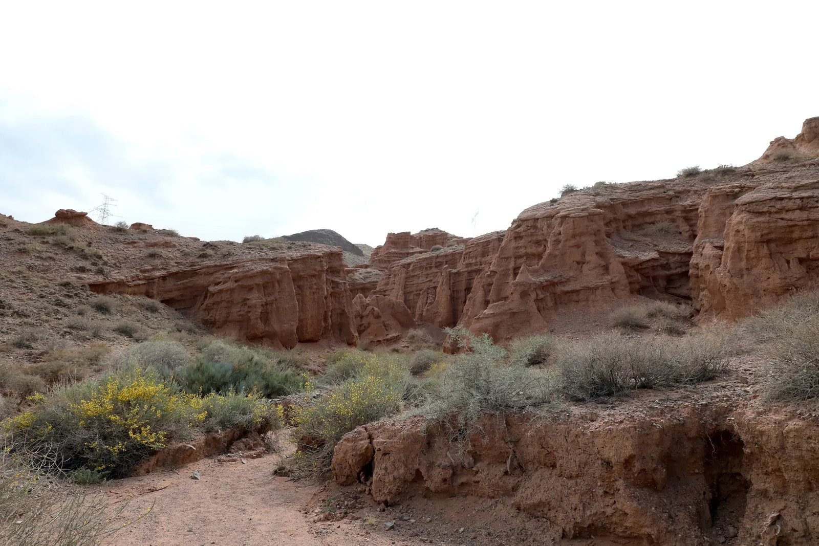
Curving red canyon walls surround a stony floor with sparse shrubs.
8 May 2021 · Walk in Kok-Moynok

Kok-Moynok

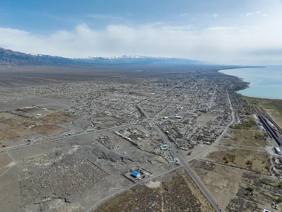
Kok-Moynok is a set of red canyons on the southern shore of Issyk-Kul. From Bishkek it works as a day trip: hotel pickup at 09:00, a walk through the canyons and a return to the hotel. It is in Issyk-Kul Region.

  • 1533 mElevation
  • Issyk-Kul RegionRegion
  • CanyonsType
  • May–OctoberSeasons
Kyrgyz SeasonsPlanning a trip?Ask about a trip

Seasons

Four seasons

Season: May–October. Monthly temperatures at the destination: averages for 2016–2025, not a forecast.

  1. Spring

    March–May
    • Marchat the destination +9° / −2°
    • Aprilat the destination +14° / +3°
    • Mayat the destination +19° / +8°
  2. Based on a photo by Philip (Krasilnikov Philip), CC BY-SA 4.0, modified

    Summer

    June–August
    • Juneat the destination +22° / +11°
    • Julyat the destination +24° / +14°
    • Augustat the destination +23° / +13°
  3. Autumn

    September–November
    • Septemberat the destination +20° / +9°
    • Octoberat the destination +13° / +2°
    • Novemberat the destination +6° / −4°
  4. Based on a photo by Philip (Krasilnikov Philip), CC BY-SA 4.0, modified

    Winter

    December–February
    • Decemberat the destination +1° / −8°
    • Januaryat the destination +1° / −9°
    • Februaryat the destination +3° / −7°

Photo roll

Real photos, each with the date it was taken. Tap or click to enlarge.

  1. 08.05.2021
  2. 08.05.2021

Where it is

Location
Issyk-Kul Region
From the base
≈107 km from Bishkek as the crow flies
Elevation
1,530 m
Coordinates
42.50° N, 75.81° E
Open in Maps

Getting to the base

The canyon is about 12.5 km from Balykchy. From Bishkek, allow 165 km and 2 h 45 min by car. At the junction for Naryn and Orto-Tokoy, after the bridge over the Chu River, turn towards Kok-Moynok-Vtoroy, then follow the dirt road to the main car park at the canyon entrance. From the car park, the walk is up to 1.3 km and up to 1 h 30 min. Check access conditions and the entry fee before your trip.

Next on the trail

Map

Kok-Moynok

© OpenStreetMap

42.50862671366028, 75.82229243285789