
Kyrgyzstan
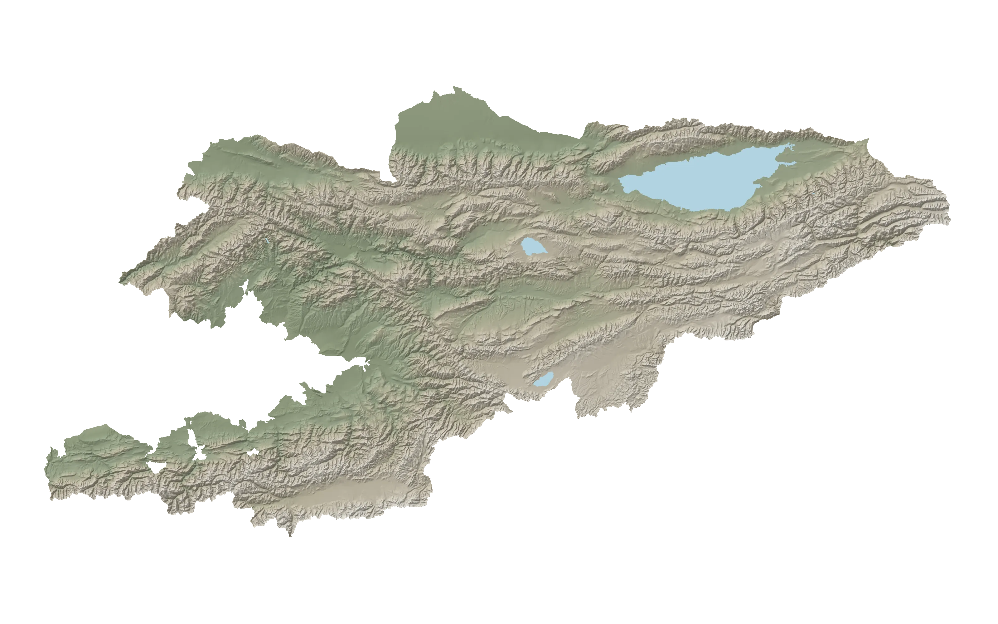
A mountain country in Central Asia: Issyk-Kul encircled by ranges, the high mountain lakes of Naryn, Silk Road city sites and southern walnut forests. 260 places in seven regions, including 60 highlights.
- 7 regionsand the cities of Bishkek and Osh
- 7,439 mJengish Chokusu, highest point
- 1,607 mIssyk-Kul, depth 702 m
- 260 placesincluding 60 highlights
- May — Septemberdaytime from +15° at 2,000 m
Highlights
Seven regions on the map
The whole country on one map: dots mark 260 places; the large ones mark 60 highlights. Scroll through the regions: the current one lights up on the map to the left.
-
Chuy Region · including Bishkek1 / 7
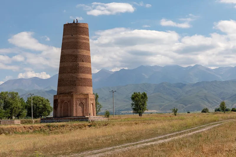
Bishkek, Burana and Ala-Archa
The capital and valley beneath the Kyrgyz Ala-Too range: Burana Tower at the Balasagun city site, the ancient cities of Suyab — Ak-Beshim archaeological site and Navekat, Ala-Archa park and Suusamyr Valley.
Next: Issyk-Kul and Karakol → -
Issyk-Kul Region2 / 7
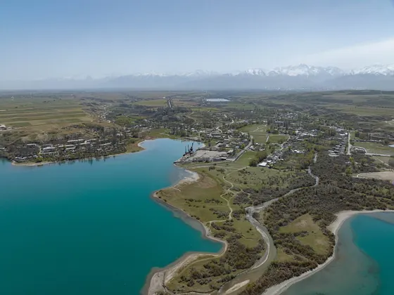
Issyk-Kul and Karakol
A lake at 1,607 m encircled by mountains: north-shore beaches, southern canyons, Karakol with its mosque and church, and glaciers and Jengish Chokusu to the east.
Next: Song-Kol and Tash Rabat → -
Naryn Region3 / 7
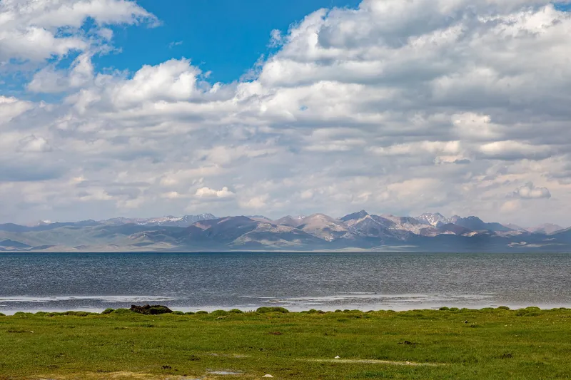
Song-Kol and Tash Rabat
High mountains in the country’s centre: Song-Kol and Chatyr-Kol lakes above 3,000 m, Tash Rabat caravanserai and Koshoy Korgon ancient city site. Bases: Kochkor and Naryn.
Next: Osh and Sulaiman-Too Sacred Mountain → -
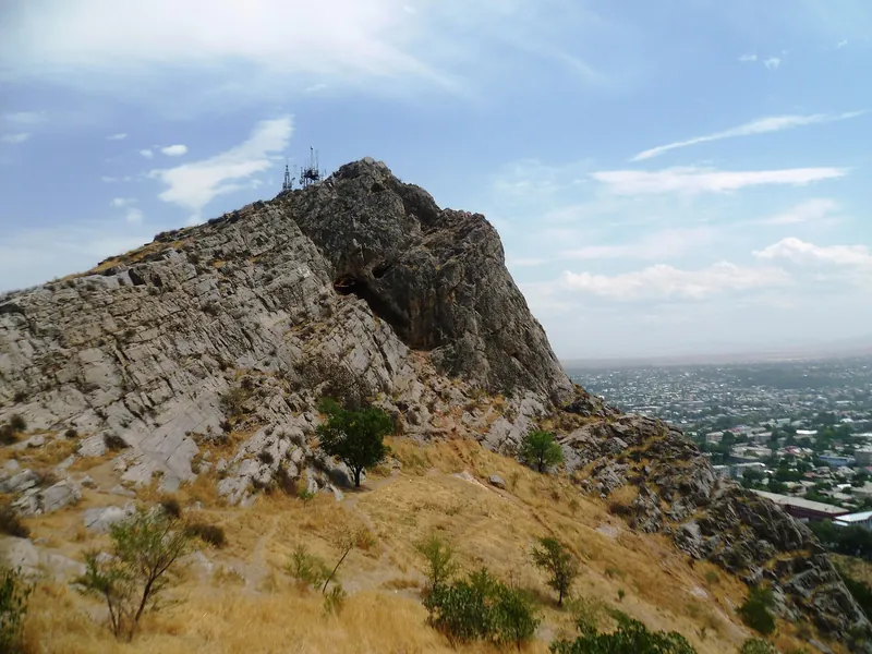
Osh Region · including Osh city4 / 7
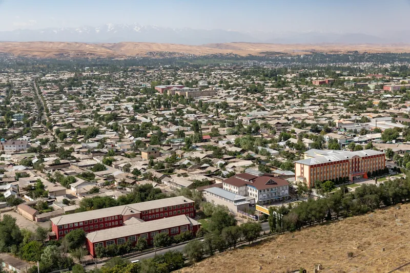
Osh and Sulaiman-Too Sacred Mountain
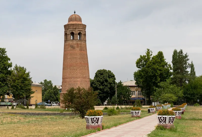
The south: Osh near Sulaiman-Too Sacred Mountain, Uzgen Minaret and mausoleums, and the road over Taldyk Pass to Sary-Tash in Alay Valley.
Next: Aygul-Tash and Kan-i-Gut → -
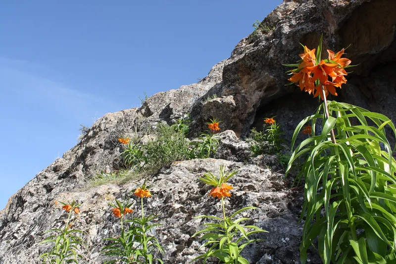
Batken Region5 / 7
Aygul-Tash and Kan-i-Gut
The south-west: Aygul-Tash Mountain, where aigul flowers bloom in spring, Kan-i-Gut Cave and Sel-Ungkur Cave, Ay-Kol lake and Madygen Formation.
Next: Sary-Chelek and Arslanbob → -
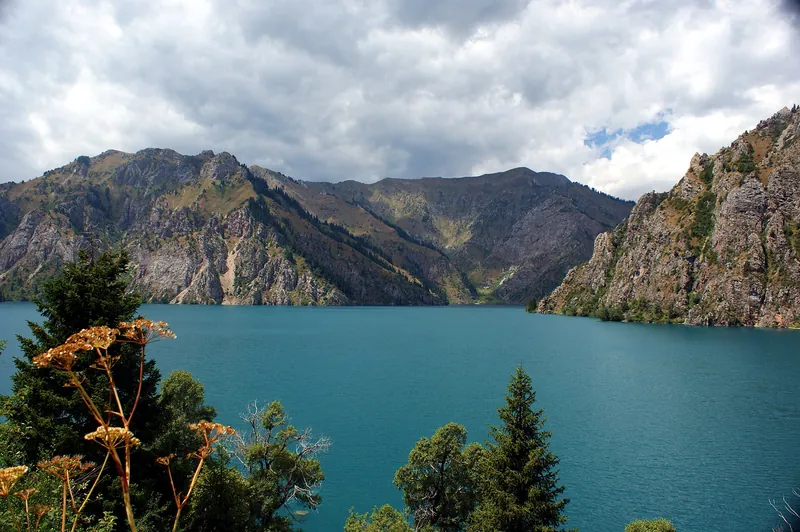
Jalal-Abad Region6 / 7
Sary-Chelek and Arslanbob
Lake Sary-Chelek in the reserve, Arslanbob beside walnut forests, Toktogul Reservoir, Saymaluu-Tash petroglyphs, and the reserves of Padysha-Ata and Besh-Aral.
Next: Besh-Tash and Manas Ordo → -
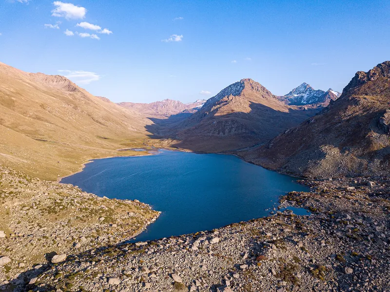
Talas Region7 / 7
Besh-Tash and Manas Ordo
The Talas river valley in the north-west: Besh-Tash nature park with its mountain lake, and the Manas Ordo complex.
Next: Seven regions ↓
Regions
Seven regions
Bishkek is grouped with Chuy Region, and Osh with Osh Region.
- 15 highlights · 59 placesChuy RegionAla-Archa, Burana, Balasagun, Suyab — Ak-Beshim archaeological site, Ala-Too Squareregion page →
- 14 highlights · 66 placesIssyk-Kul RegionPrzhevalsky Museum, Karakol History Museum, Issyk-Kul, Ala-Kol, Holy Trinity Cathedralregion page →
- 9 highlights · 34 placesNaryn RegionTash Rabat, Song-Kol, Chatyr-Kol, Kol-Suu, Torugartregion page →
- 7 highlights · 39 placesOsh RegionSulaiman-Too Sacred Mountain, Uzgen Minaret, Osh Babur Uzbek Music and Drama Theatre, Taldyk, Kyrgyz-Ataregion page →
- 3 highlights · 14 placesBatken Regionregion page →
- 10 highlights · 38 placesJalal-Abad RegionSary-Chelek, Padysha-Ata, Toktogul Reservoir, Besh-Aralregion page →
- 2 highlights · 10 placesTalas RegionBesh-Tash State Nature Parkregion page →
Highlights
60 national highlights
The best-known places in each region: routes, cultural sites and towns to set off from. Use the filter to select a category.
Chuy Region15
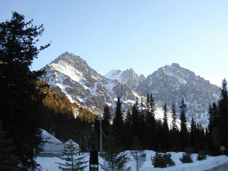 routeAla-Archa parknatural areapage →
- cultureBurana Towermonumentpage →
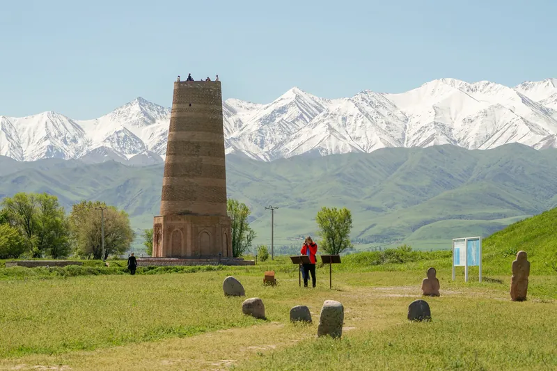 cultureBalasagunancient city sitepage →
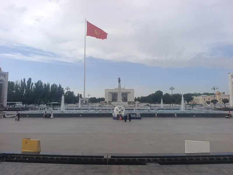 cultureAla-Too Squaresquarepage →
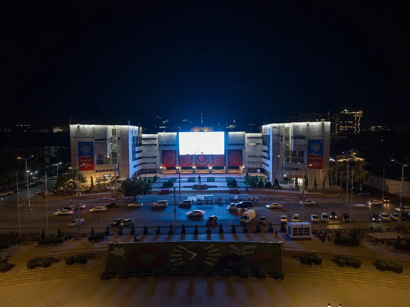 cultureNational Historical Museummuseumpage →
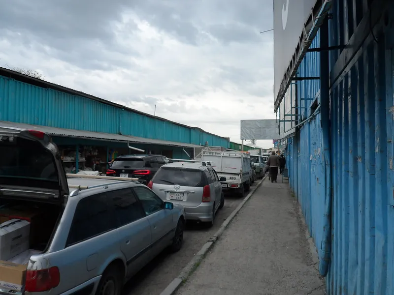 cultureDordoy bazaarbazaarpage →
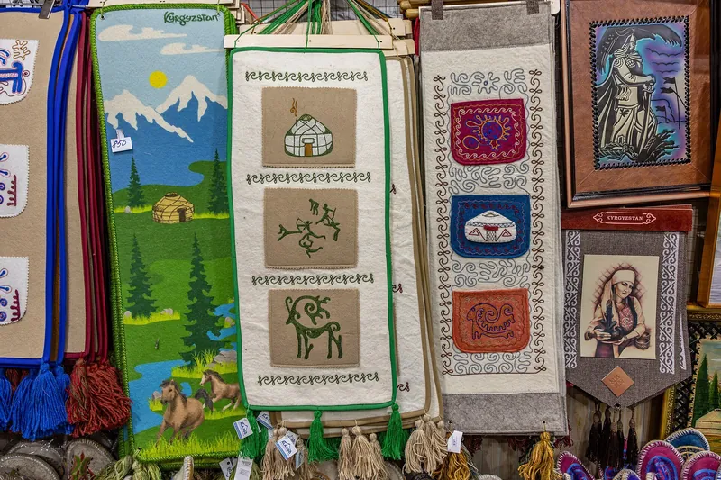 cultureOsh Bazaarbazaarpage →
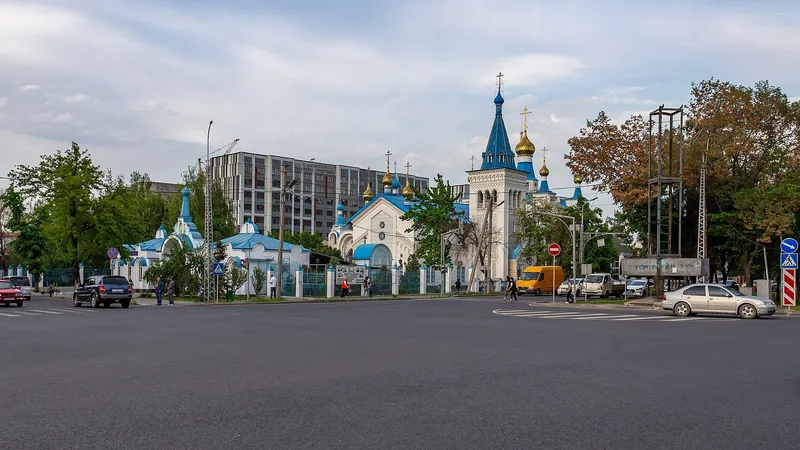 cultureResurrection Cathedralchurchpage →
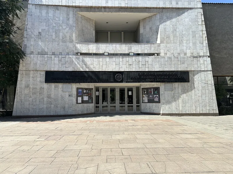 cultureGapar Aitiev National Museum of Fine Artsmuseumpage →
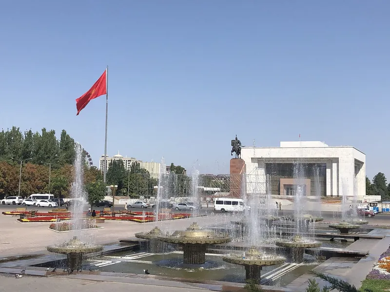 baseBishkektownpage →
No places in this region match the filter.
Issyk-Kul Region14
- routeIssyk-Kullake · 1,607 mpage →
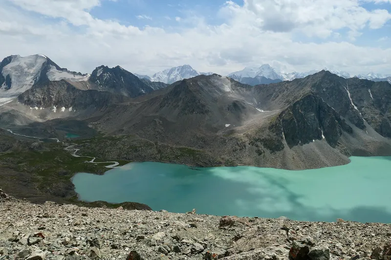 routeLake Ala-Kollake · 3,532 mpage →
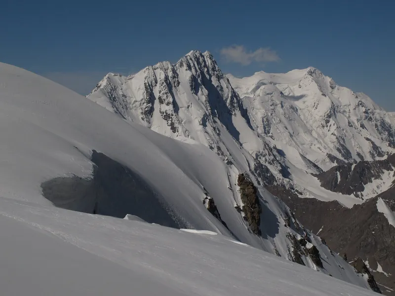 routeKarakol Peakpeak · 5,216 mpage →
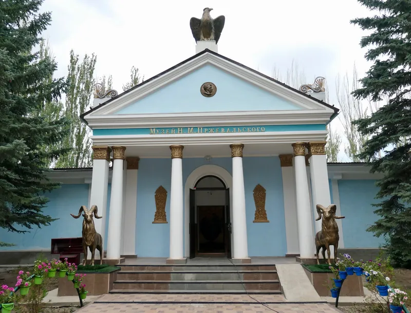 culturePrzhevalsky Museummuseumpage →
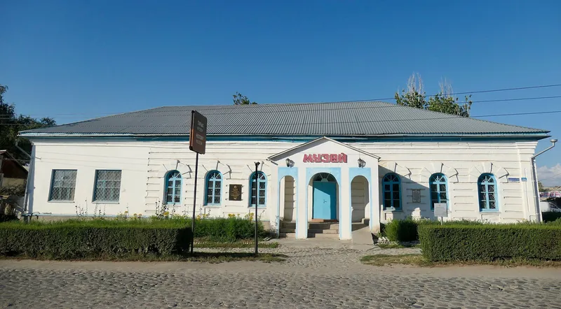 cultureKarakol History Museummuseumpage →
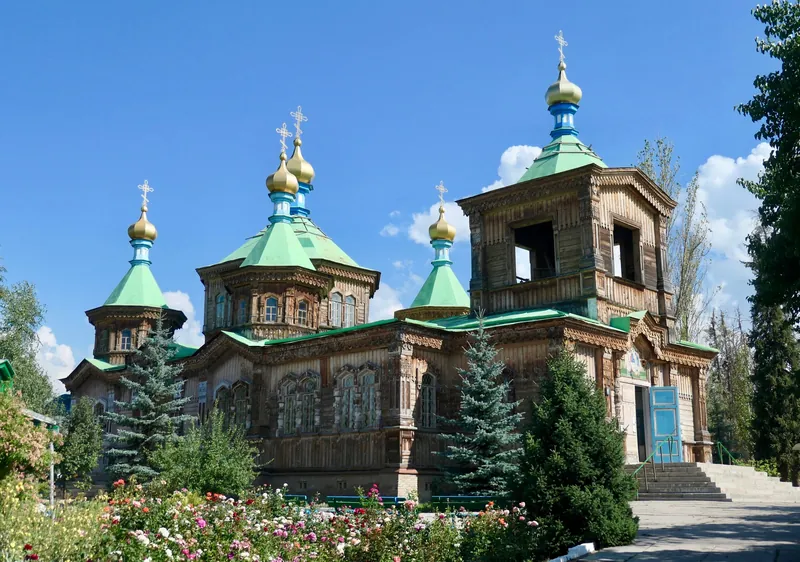 cultureHoly Trinity Cathedralchurchpage →
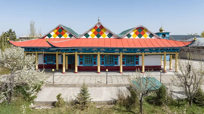 cultureDungan Mosquemosquepage →
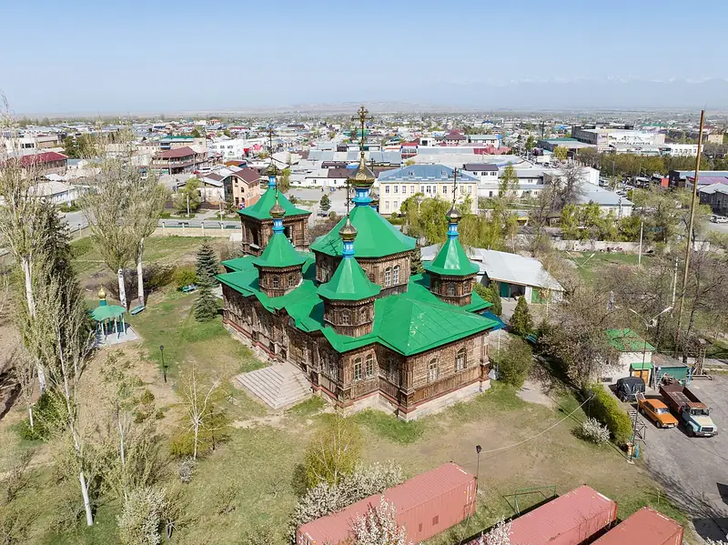 baseKarakoltown · 1,780 mpage →
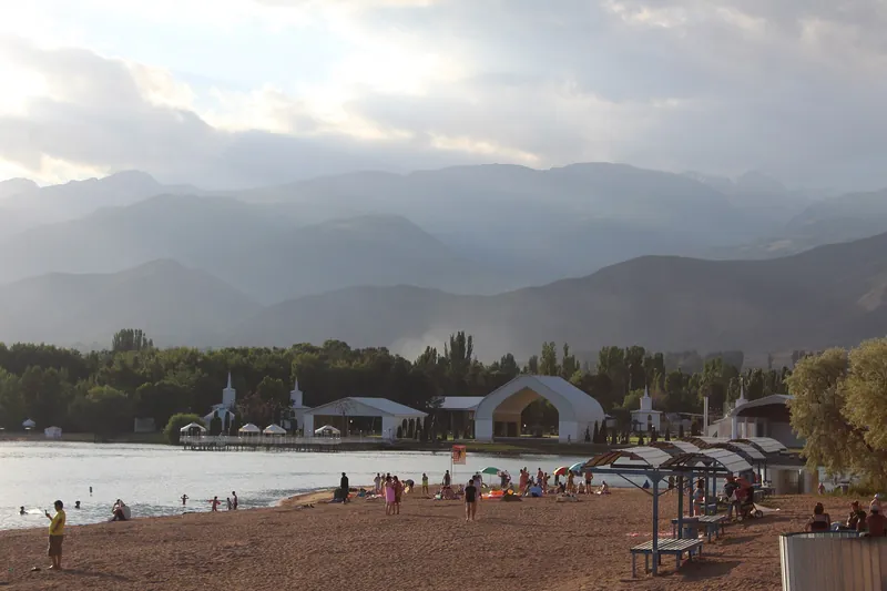 baseCholpon-Atatownpage →
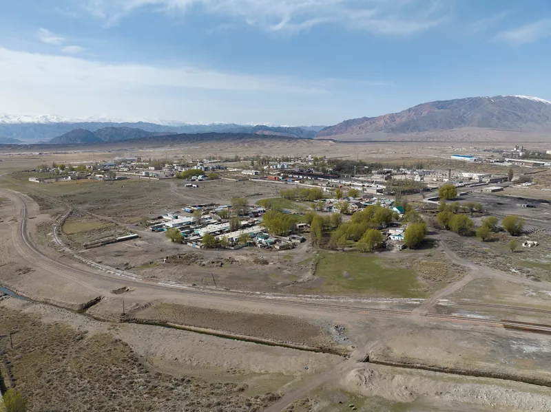 baseBalykchytownpage →
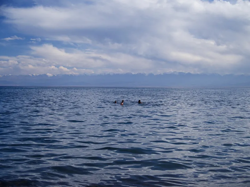 baseTamchyvillagepage →
No places in this region match the filter.
Naryn Region9
- routeSong-Kol lakelake · 3,010 mpage →
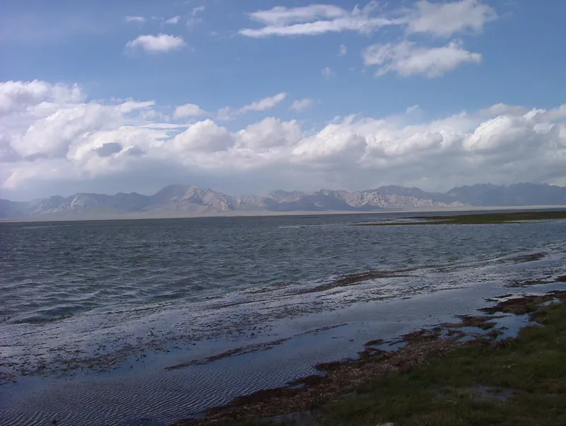 routeChatyr-Kol lakelake · 3,530 mpage →
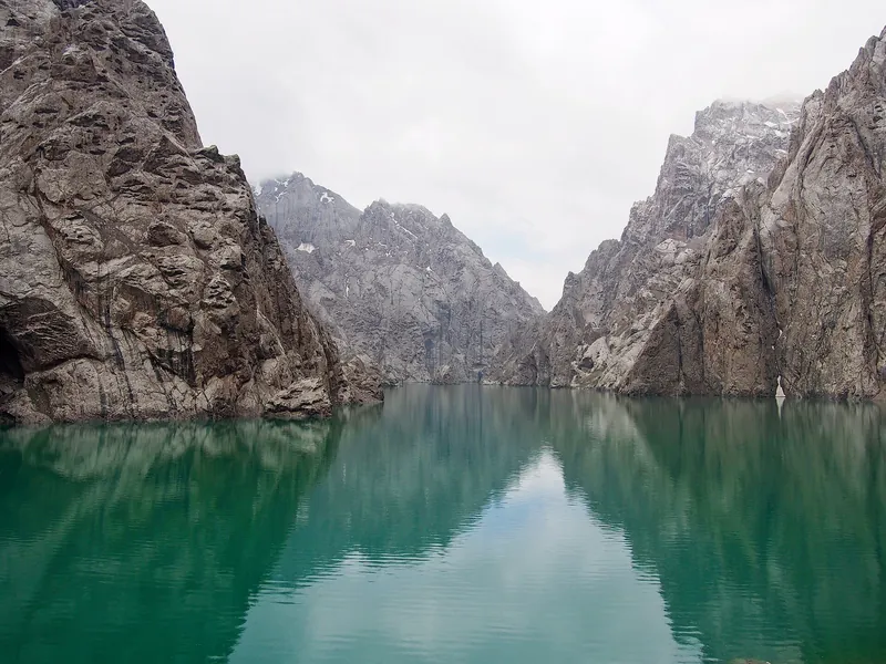 routeKol-Suu lakelakepage →
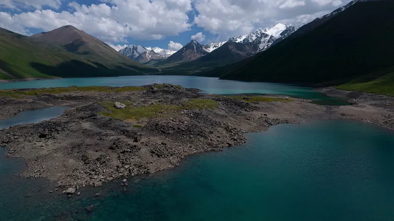 routeKol-Ukok lakelakepage →
No places in this region match the filter.
Osh Region7
No places in this region match the filter.
Batken Region3
No places in this region match the filter.
Jalal-Abad Region10
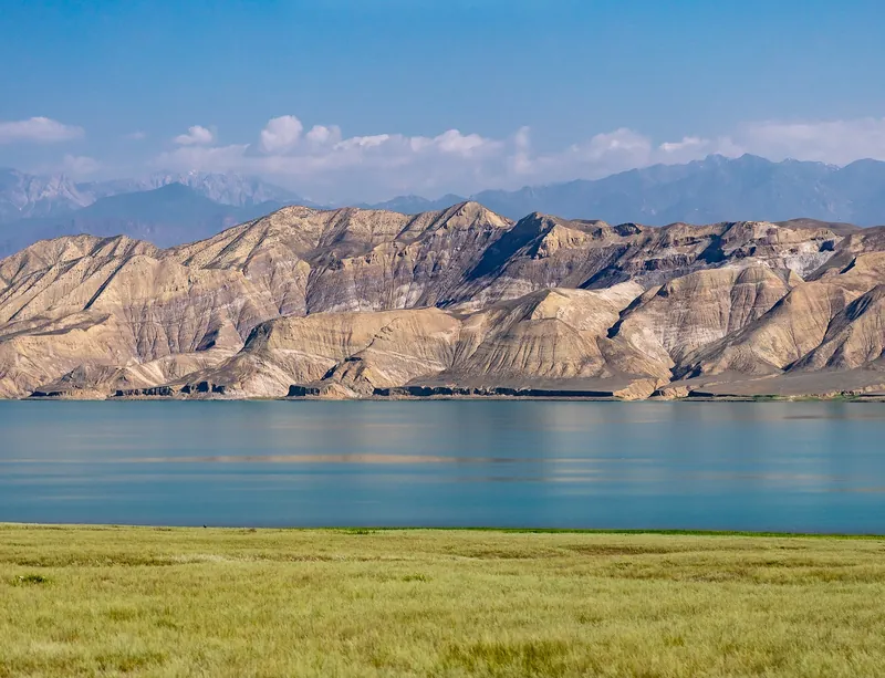 routeToktogul Reservoirreservoir · 870 mpage →
- routeLake Sary-Cheleklake · 1,875 mpage →
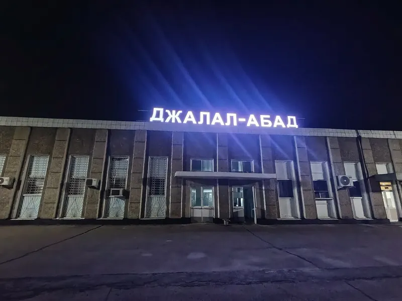 baseManastown · 766 mpage →
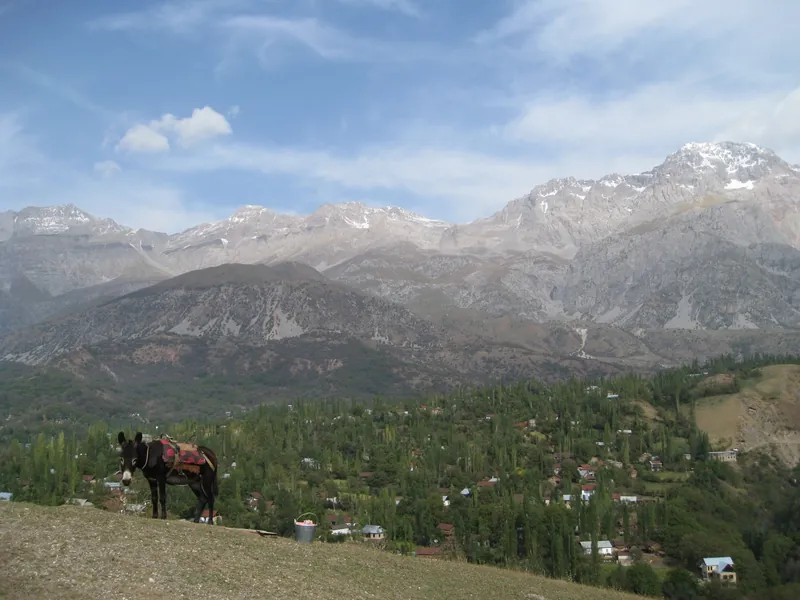 baseArslanbobvillagepage →
No places in this region match the filter.
Practical information
Plan an independent trip
Entry, money, reception, transport, accommodation, luggage and safety in one guide, with no guesswork.
Seasons
One country — four seasons
Elevation matters more than the month: in July, Bishkek is hot, while at 2,000 m it feels like the valley in May. The figures are average daytime temperatures.
-
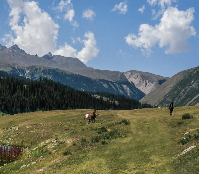
Spring
March–MayThe valleys are already warm in April: +18° by day in Bishkek and +18° in Osh. Naryn, at 2,000 m, has +12°; higher mountains still have snow.
- MarchBishkek +11° · Naryn +5°
- AprilBishkek +18° · Naryn +12°
- MayBishkek +23° · Naryn +16°
-
Summer
June–AugustThe season for mountains and high mountain lakes: +23° by day in Naryn. The valleys of Bishkek and Osh are hot, around +31°.
- JuneBishkek +27° · Naryn +19°
- JulyBishkek +30° · Naryn +23°
- AugustBishkek +28° · Naryn +22°
-
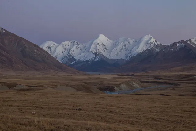
Autumn
September–NovemberSeptember is warm even in the mountains: +18° by day in Naryn. In October, it is +10° there, and around +17° in Bishkek and Osh.
- SeptemberBishkek +24° · Naryn +18°
- OctoberBishkek +16° · Naryn +10°
- NovemberBishkek +9° · Naryn +3°
-
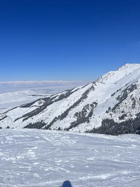
Winter
December–FebruaryThe mountains are freezing: −3° by day and −18° at night in Naryn. Bishkek and Osh have around +4° by day; skiing is above Karakol.
- DecemberBishkek +4° · Naryn −2°
- JanuaryBishkek +3° · Naryn −3°
- FebruaryBishkek +5° · Naryn 0°
Daytime by month: from valleys to high mountains
| Town | Jan | Feb | Mar | Apr | May | Jun | Jul | Aug | Sep | Oct | Nov | Dec |
|---|---|---|---|---|---|---|---|---|---|---|---|---|
| Bishkek753 m | +3 | +5 | +11 | +18 | +23 | +27 | +30 | +28 | +24 | +16 | +9 | +4 |
| Manas772 m | +6 | +9 | +15 | +20 | +24 | +29 | +33 | +31 | +27 | +19 | +12 | +7 |
| Osh998 m | +4 | +7 | +13 | +18 | +23 | +28 | +31 | +29 | +25 | +17 | +11 | +5 |
| Batken1,038 m | +4 | +6 | +12 | +18 | +23 | +28 | +31 | +29 | +25 | +16 | +10 | +5 |
| Talas1,242 m | −1 | +2 | +8 | +15 | +20 | +24 | +26 | +25 | +21 | +13 | +6 | 0 |
| Karakol1,749 m | −3 | 0 | +5 | +10 | +15 | +18 | +21 | +20 | +17 | +9 | +2 | −2 |
| Kochkor1,811 m | −1 | +1 | +7 | +13 | +17 | +20 | +23 | +22 | +19 | +11 | +4 | 0 |
| Naryn2,056 m | −3 | 0 | +5 | +12 | +16 | +19 | +23 | +22 | +18 | +10 | +3 | −2 |
Average daytime temperature for 2016–2025, °C; nights are 6–15° colder — hover over a cell. Towns are ordered by elevation, from valleys to mountains.