
Naryn → Tash Rabat → Chatyr-Kol → Kol-Suu, 3 days
Three days: Tash Rabat, Chatyr-Kol and the rocks at Kol-Suu
Place: Kol-Suu
- 3 days, 2 nightsTwo yurt camps
- ≈7 kmof map context sections
- ModerateTransfers and walks
- NarynIn the morning
In order
8 stages over 3 days
The map shows separate sections, rather than the entire trip. Numbers mark known landmarks; agree exact stops before travelling.
-
 20.09.2012
Day 11 / 8
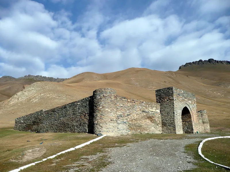
Naryn → Tash Rabat
Leave Naryn in the morning and drive to the stone caravanserai. Walk in the surrounding area.
Next Night at Tash Rabat → -
 08.09.2016
Day 12 / 8
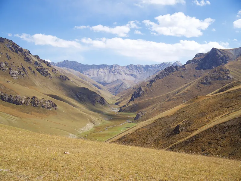
Night at Tash Rabat
Dinner and a night at a yurt camp beside the caravanserai. Ask the camp name in advance.
Next Chatyr-Kol shore → -
 07.2006
Day 23 / 8
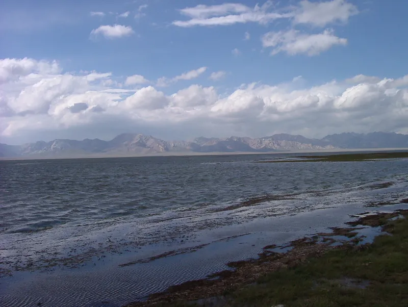
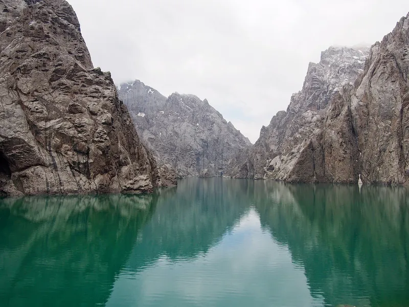
Chatyr-Kol shore
After the drive, a short walk from the highway to the lakeshore. Agree the exact starting point with the guide.
Next To Kol-Suu valley → -
 13.07.2017
Day 24 / 8
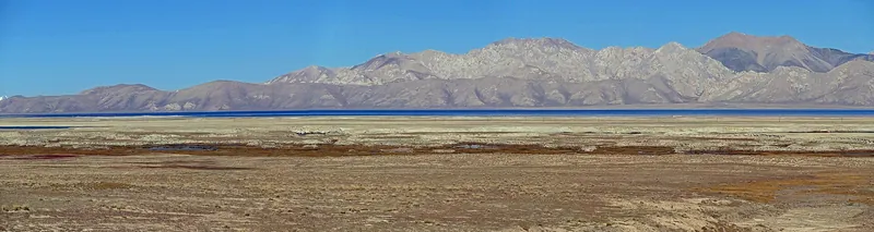
To Kol-Suu valley
Drive to the yurt camp near Kol-Suu. Journey time depends on road and weather conditions.
Next Night in a yurt → -
 09.09.2015
Day 25 / 8
Night in a yurt
Arrive at the camp, have dinner and stay overnight. Ask the camp name and accommodation conditions in advance.
Next Walk to Kol-Suu → -
 12.07.2024
Day 36 / 8
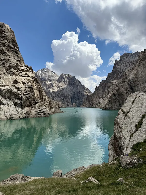
Walk to Kol-Suu
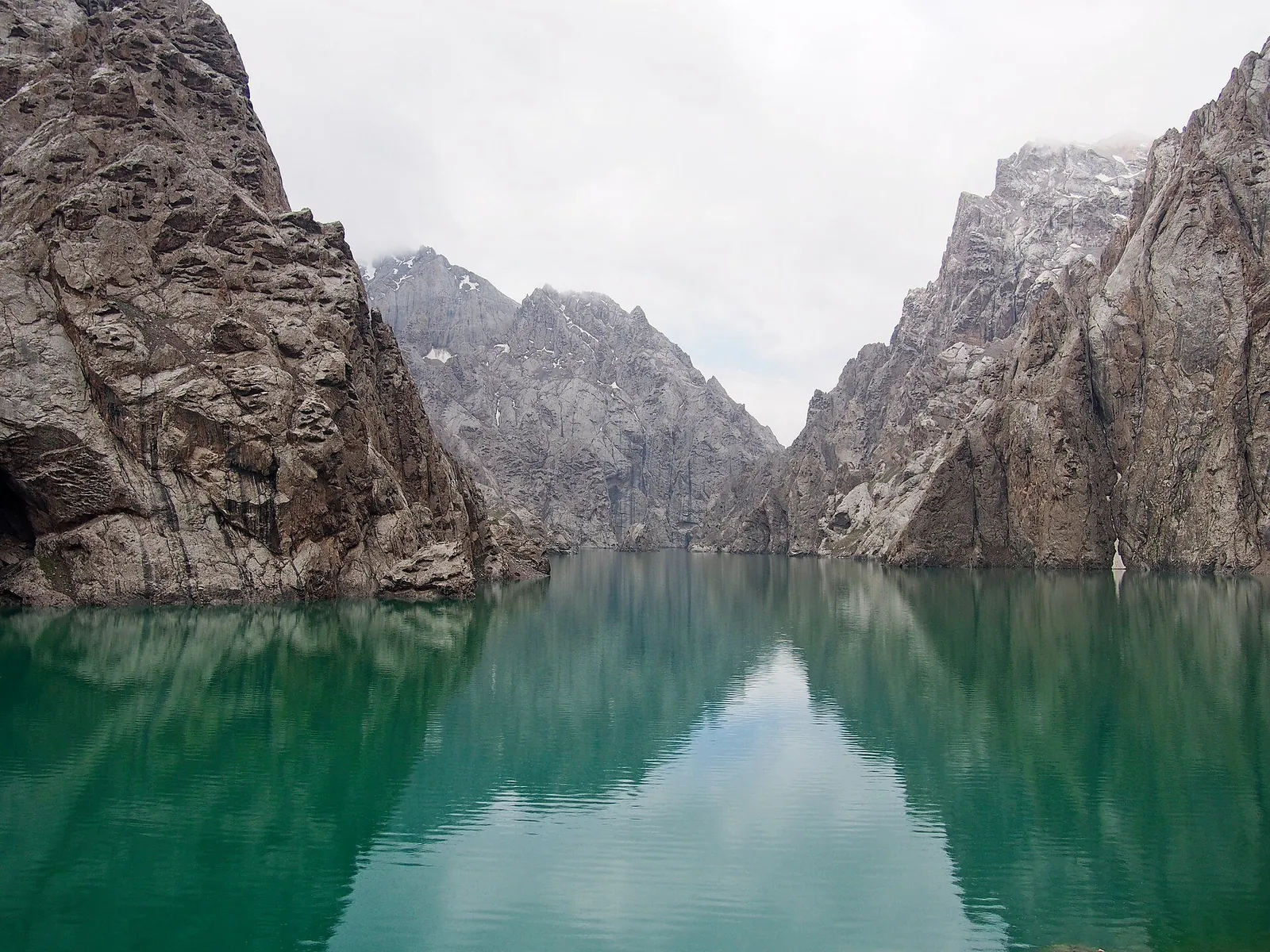
After breakfast, walk to the lake or ride for about 1 h at extra cost. Cliffs and turquoise water along the shore.
Next Back to camp → -
 28.09.2013
Day 37 / 8
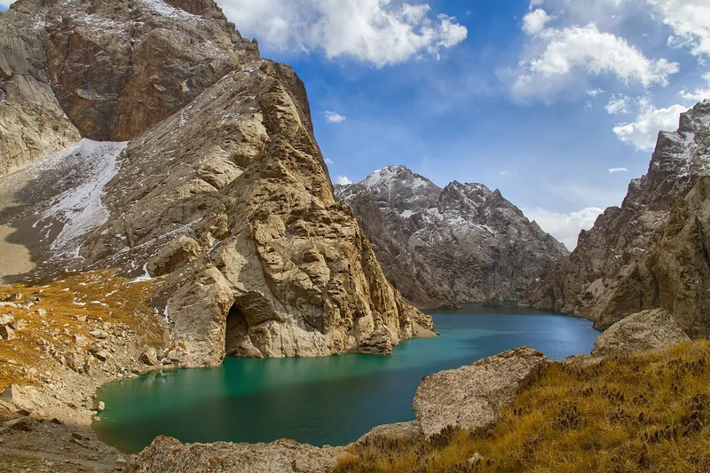
Back to camp
Return from the lake to camp. Ask the guide about the trail and possible river crossings.
Next Return to Naryn → -
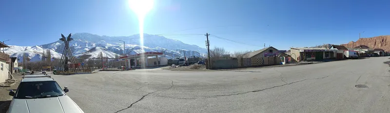 17.03.2023
Day 38 / 8
Return to Naryn
Return to Naryn by car. Agree the drop-off time and address before departure.
Next Kol-Suu: four seasons ↓
Seasons
Kol-Suu: four seasons
Monthly temperatures at the destination: averages for 2016–2025, not a forecast.
-
Spring
March–May- Marchat the destination −5° / −17°
- Aprilat the destination 0° / −10°
- Mayat the destination +4° / −5°
-
Summer
June–August- Juneat the destination +9° / −1°
- Julyat the destination +12° / +2°
- Augustat the destination +11° / +1°
-
Autumn
September–November- Septemberat the destination +7° / −3°
- Octoberat the destination −1° / −11°
- Novemberat the destination −6° / −17°
-
Winter
December–February- Decemberat the destination −10° / −20°
- Januaryat the destination −11° / −22°
- Februaryat the destination −9° / −21°
Where it is
- Location
- Naryn Region
- From the base
- ≈92 km from Naryn as the crow flies
- Coordinates
- 40.66° N, 76.40° E
Before you go
Getting there and what to know before you go
How to get there
From Naryn
Morning departureThe first drive is to Tash Rabat. Ask about the pick-up address and meeting time in advance.
Back to Naryn
On the third dayAfter the walk to Kol-Suu, return to camp and drive to Naryn. check for your date
Money, SIM cards and help
- Cash. Tour price and separate border-zone permit: check for your date.
112all emergencies
What to bring
Ticks are saved in this browser only.
Check before departure
- Permit, price and additional services Organiser
- River crossings and the current trail to the lake Guide
- Weather, road and both camps Organiser
- Border-zone permit and cost
- Specific yurt camps
- Available river crossings
- Mobile reception and road conditions
- Return time to Naryn
Keep planning
Guides and ready-made itineraries
Pages that include this place in a guide or itinerary.
Included in guides
All photos
Kol-Suu in photos
Real photos, each with the date it was taken. Tap or click to enlarge.
- 07.2006
- 20.09.2012
- 09.09.2015
- 08.09.2016
- 13.07.2017
- 17.03.2023
- 12.07.2024
- 28.09.2013
Nearby
Nearby and where to go next
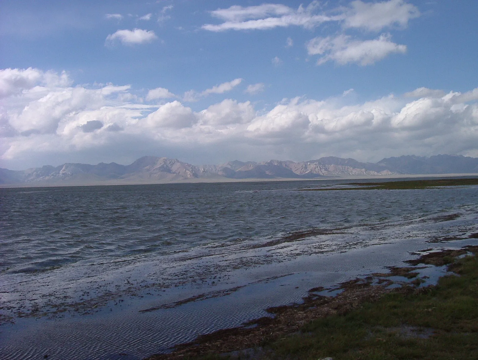 Route · ≈93 km in a straight lineChatyr-KolOn horseback via Panda to the lake and back to Tash Rabat
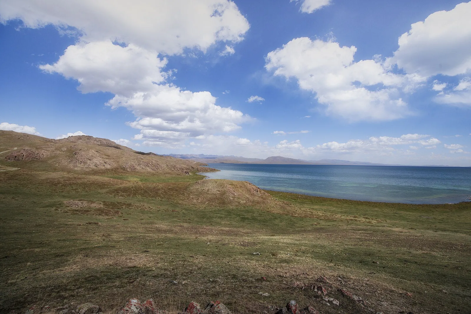 Route · ≈167 km in a straight lineSong-KolOn horseback from Kyzart to Song-Kol, then via Cholok to Kuyruchuk
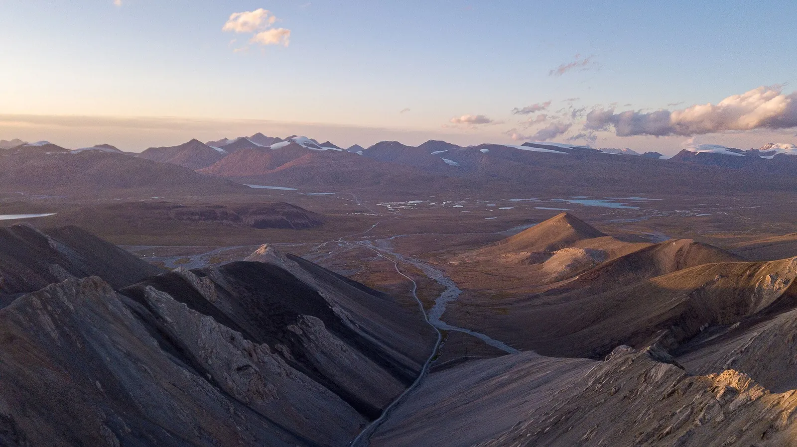 Route · ≈177 km in a straight lineArabel PlateauA day in a 4WD to the lakes of a high plateau