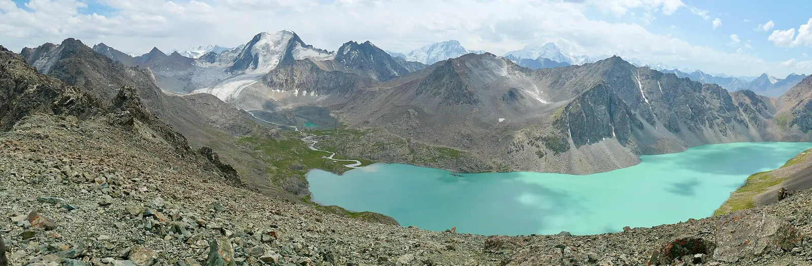
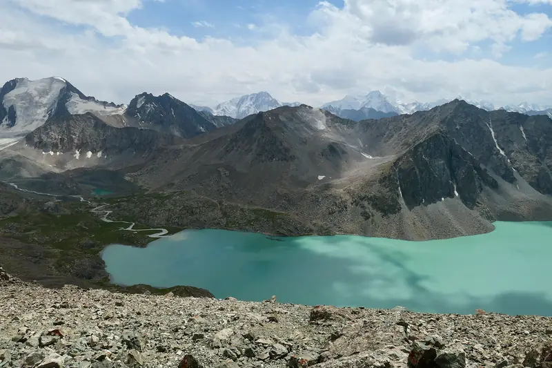
Panorama of Lake Ala-Kol, glaciers and the ridge
13.08.2019, 13:52 · from the pass

Ala-Kol via Altyn-Arashan, 3 days

A turquoise high-altitude lake at 3,519 m. Three days on foot from Karakol Gorge over the pass, then back to Karakol.

Place: Lake Ala-Kol

  • 3 days2 nights in camps
  • 49 km↑1,960 m · up to 3,898 m
  • Difficulttrekking experience needed
  • July–SeptemberJune and October: season edges
  • From Karakol≈40 min by car
Kyrgyz SeasonsPlanning a trip?Ask about a trip

Route

The three-day itinerary

Scroll down: the panel on the left follows you, showing the map, elevation profile and altitude at each stage. The number marks a stage and its photo.

  1. Day 1

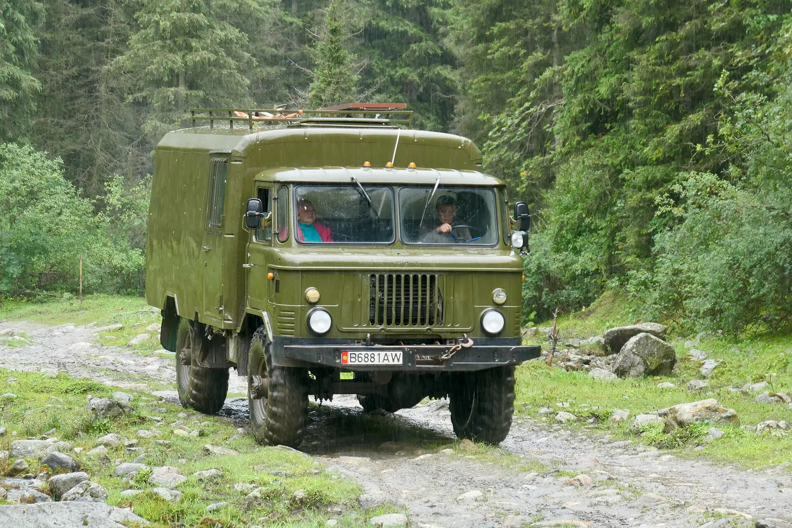
    A GAZ-66 four-wheel-drive truck on an unpaved forest road15.08.2019, 09:58

    Day 11 / 10

    Transfer from Karakol

    Karakol

    car≈40 min

    A vehicle takes you into Karakol Gorge to the start of the walking section. Agree the drop-off point and vehicle with the organiser.

    Next Up Karakol valley →
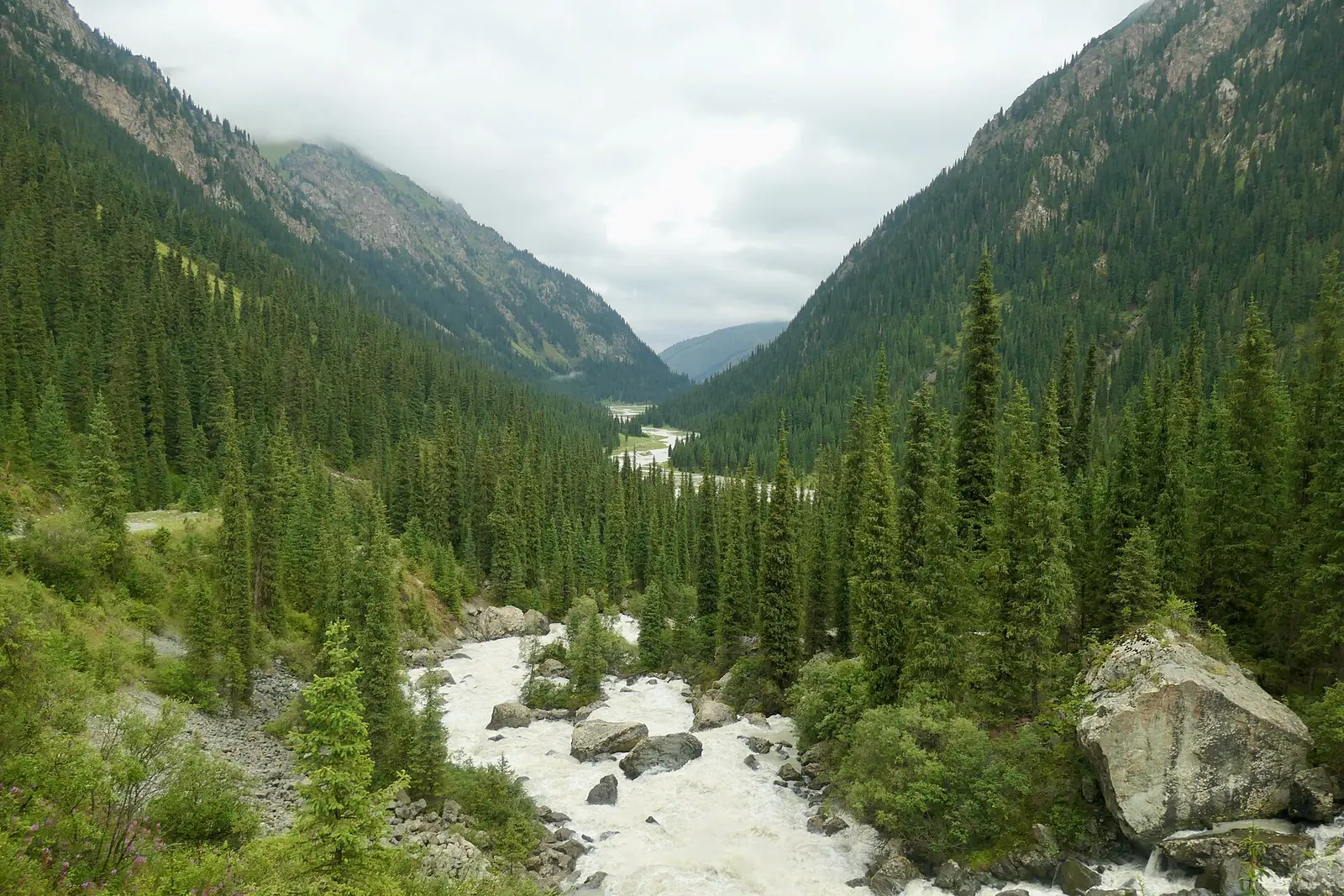
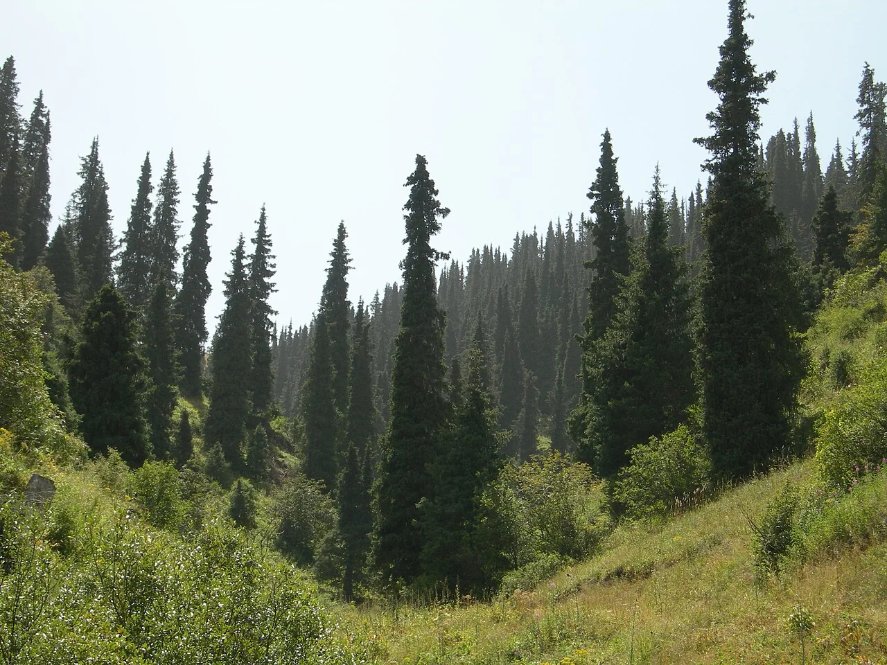
  2. A wide river in a valley between spruce-covered slopes15.08.2019, 08:24

    Day 12 / 10

    Up Karakol valley

    Karakol Gorge

    on foot≈5–6 h to overnight stop

    The trail follows the river, then climbs to the camps. This is the first day’s longest section by walking time.

    Next Sirota · 2,955 m →
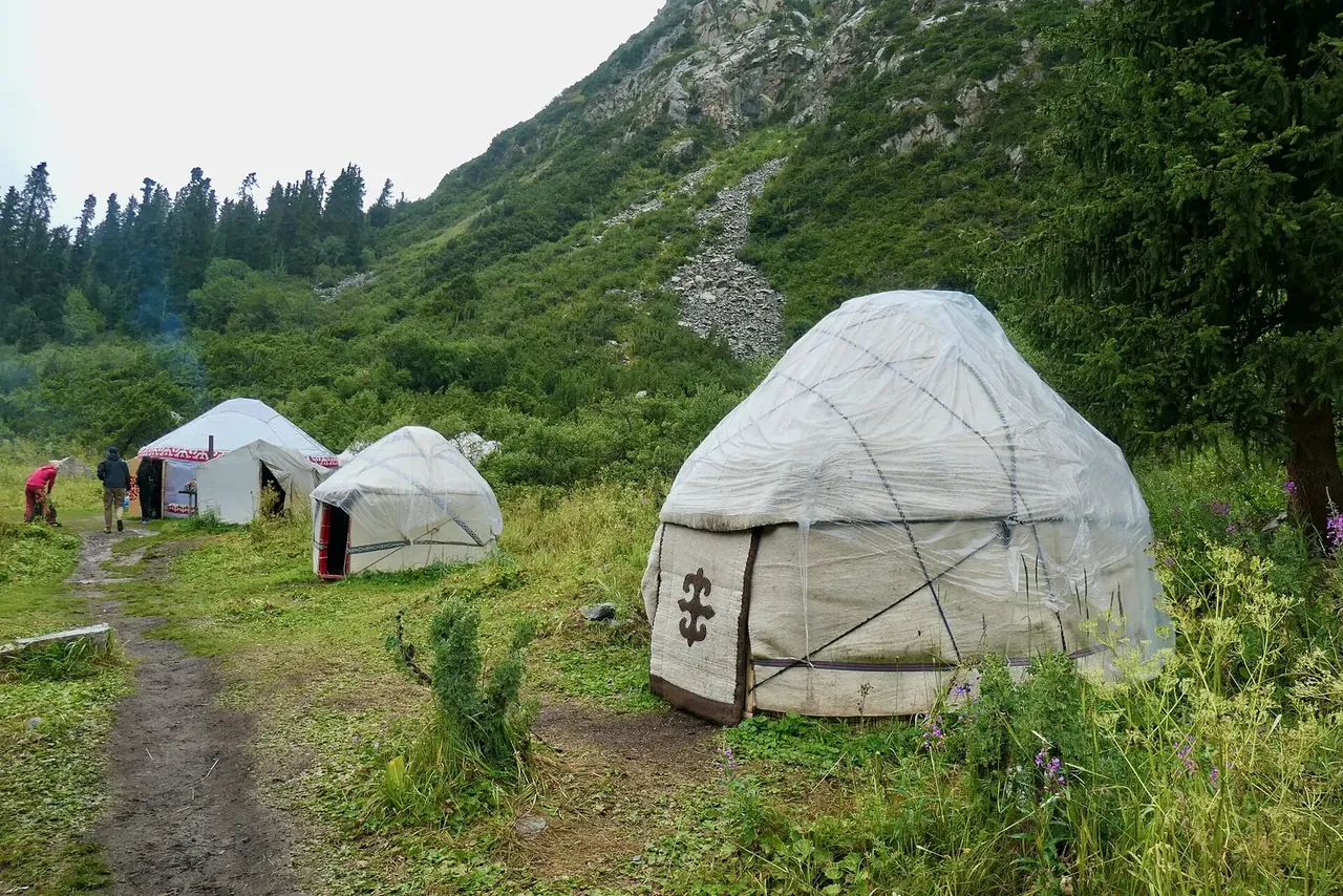
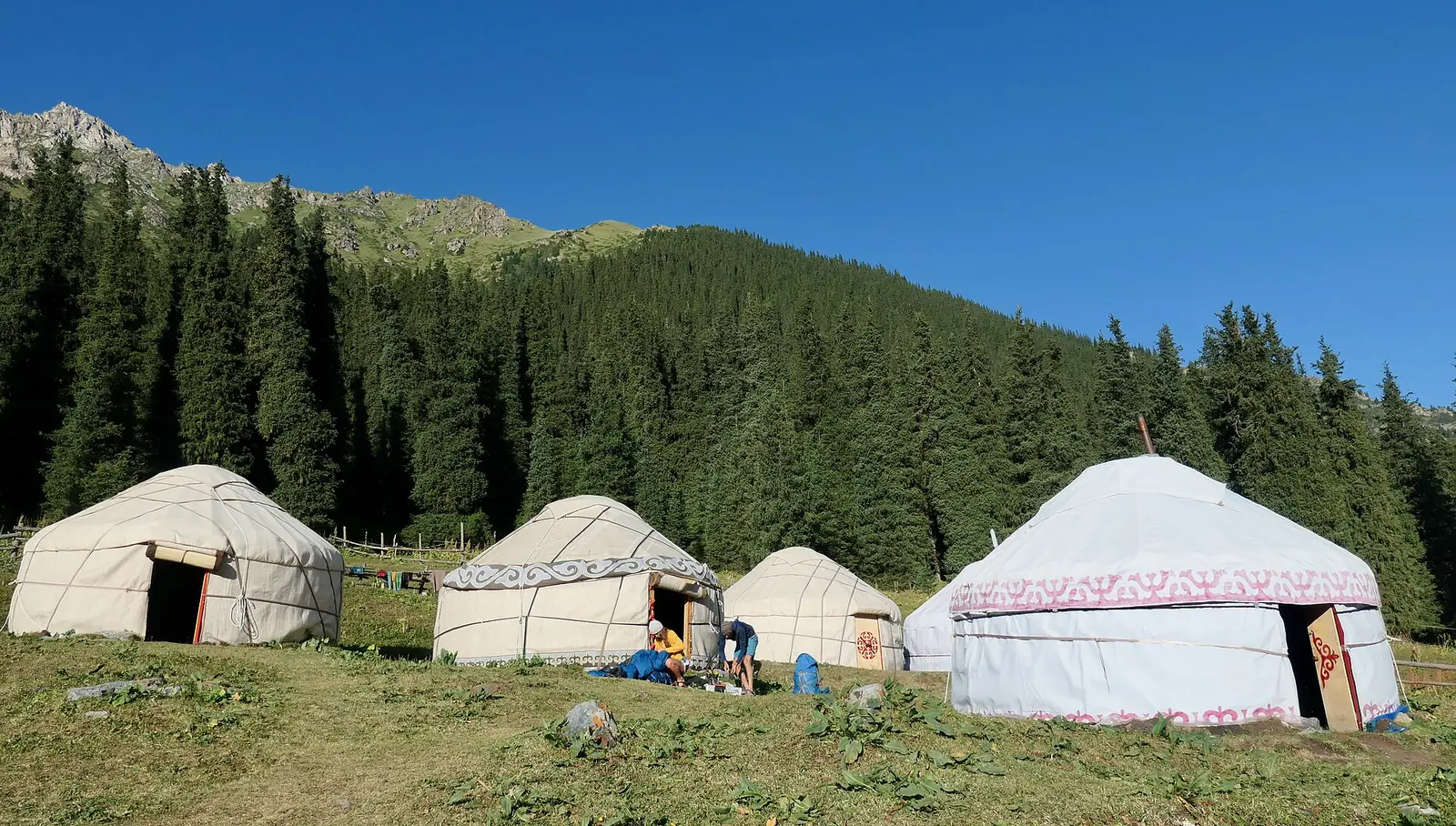
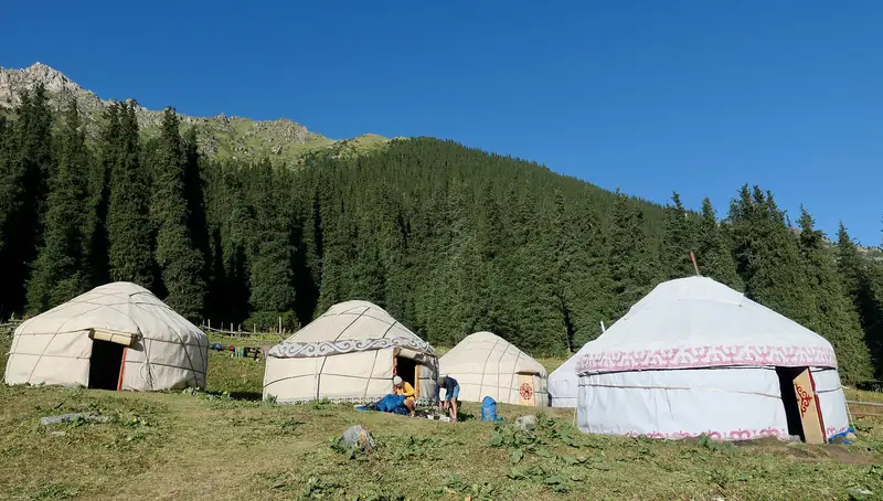
  3. White yurts in a grassy clearing beside the trail14.08.2019, 17:40

    Night 13 / 10

    Sirota · 2,955 m

    overnight staycheck for your date

    There are yurt camps in the area. Confirm the location and type of overnight accommodation in advance.

    Next Climb to the lake →
  4. Day 2 · the longest

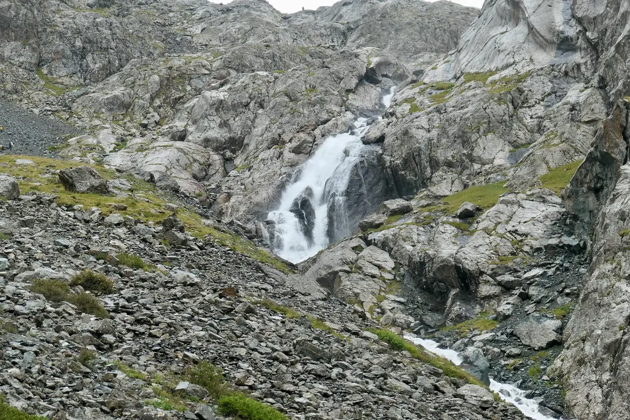
    A waterfall on a rocky slope among stones14.08.2019, 16:42

    Day 24 / 10

    Climb to the lake

    on foot≈2 h

    A rocky slope past a waterfall. This is only the first part of the longest day.

    Next Ala-Kol · 3,519 m →
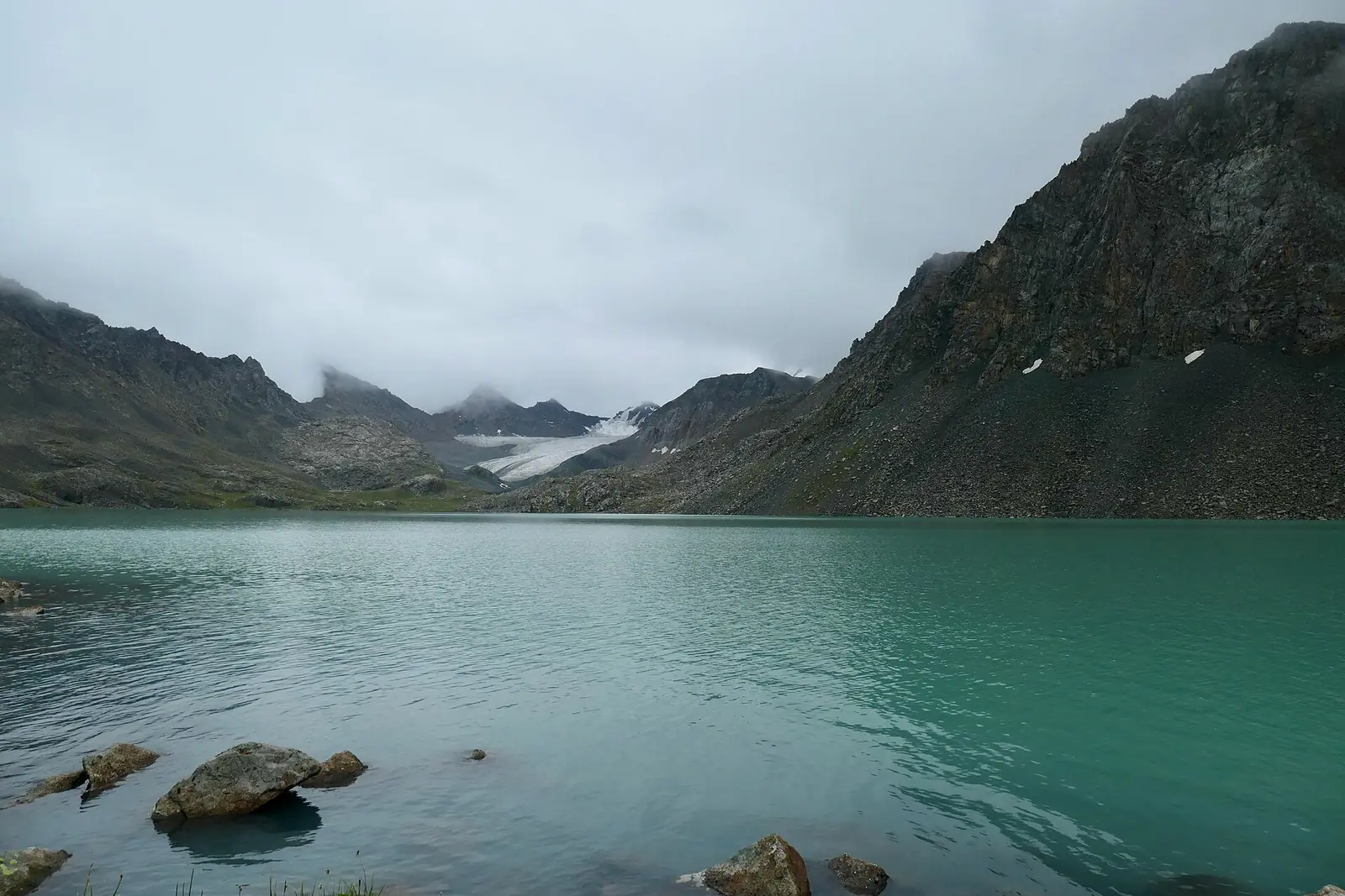
  5. Lakeshore with clouds down at the water14.08.2019, 15:04

    Day 25 / 10

    Ala-Kol · 3,519 m

    Lake Ala-Kol

    on footroute destination

    The lake lies in a rocky basin below glaciers. Weather changes quickly: sun on 13 August, clouds at the water on the 14th.

    Next Pass · 3,898 m →
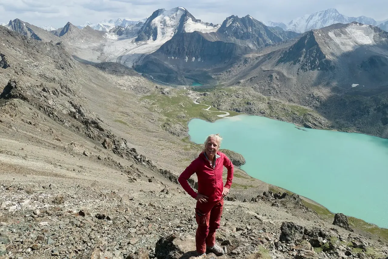
  6. A hiker on a rocky ridge above the turquoise lake13.08.2019, 15:06

    Day 26 / 10

    Pass · 3,898 m

    Lake Ala-Kol

    on foot

    The highest point on the route. The ridge overlooks the whole lake and the glaciers above it.

    Next Descent to Altyn-Arashan →
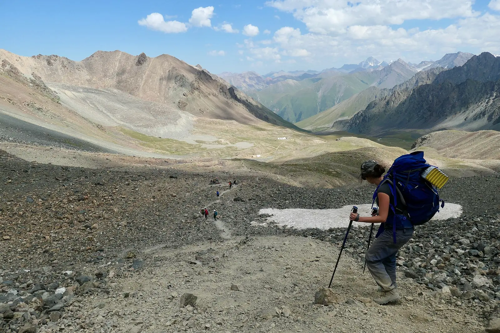
  7. A hiker descending steep rocky scree13.08.2019, 13:17

    Day 27 / 10

    Descent to Altyn-Arashan

    Altyn-Arashan

    on foot

    The Altyn-Arashan side has steep scree. Allow a full walking day for day two.

    Next Altyn-Arashan · 2,514 m →
  8. Yurts in a clearing beside a spruce forest13.08.2019, 07:49

    Night 28 / 10

    Altyn-Arashan · 2,514 m

    Altyn-Arashan

    overnight staycheck for your date

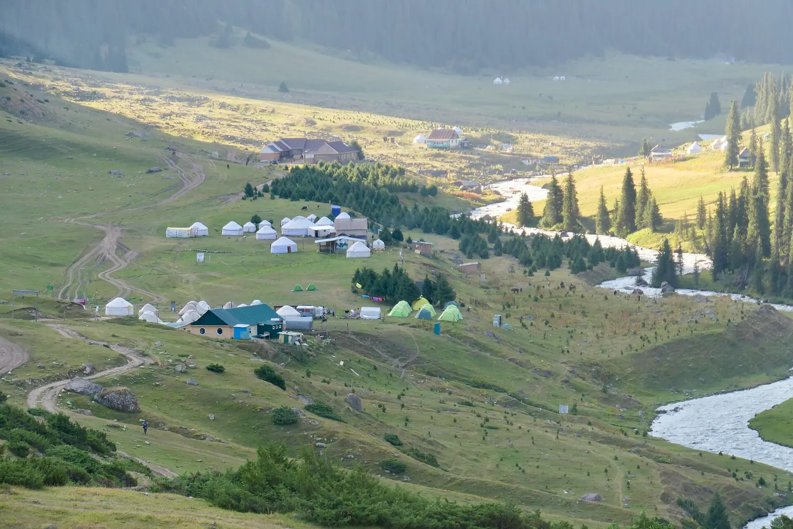
    A valley with camps beside the river. Confirm the camp name and booking before setting off.

    Next Down Arashan valley →
  9. Day 3

    A valley with a river and camps, seen from above13.08.2019, 07:34

    Day 39 / 10

    Down Arashan valley

    Altyn-Arashan

    on foot≈4 h

    Descend towards Ak-Suu to meet the vehicle.

    Next Vehicle and Karakol →
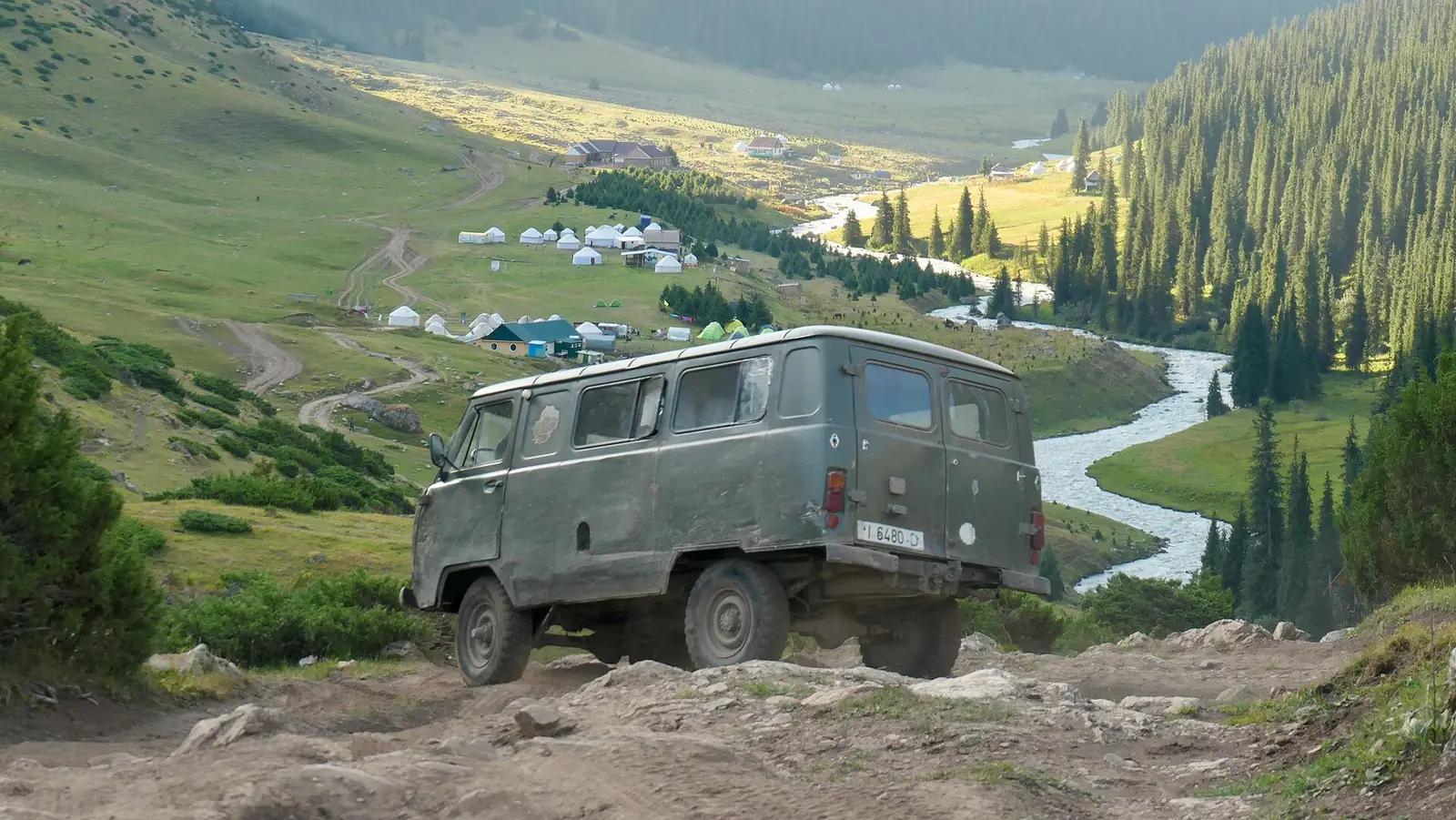
  10. A UAZ on a steep dirt road above the valley13.08.2019, 07:34

    Day 310 / 10

    Vehicle and Karakol

    Karakol

    car≈30 min

    A dirt road runs down the valley, used by UAZ vehicles. Confirm the meeting time and place in advance.

    Next One lake, four seasons ↓

Seasons

One lake, four seasons

The same view from the pass in spring, summer, autumn and winter. Monthly temperatures at the lake and in Karakol are averages for 2016–2025, not a forecast.

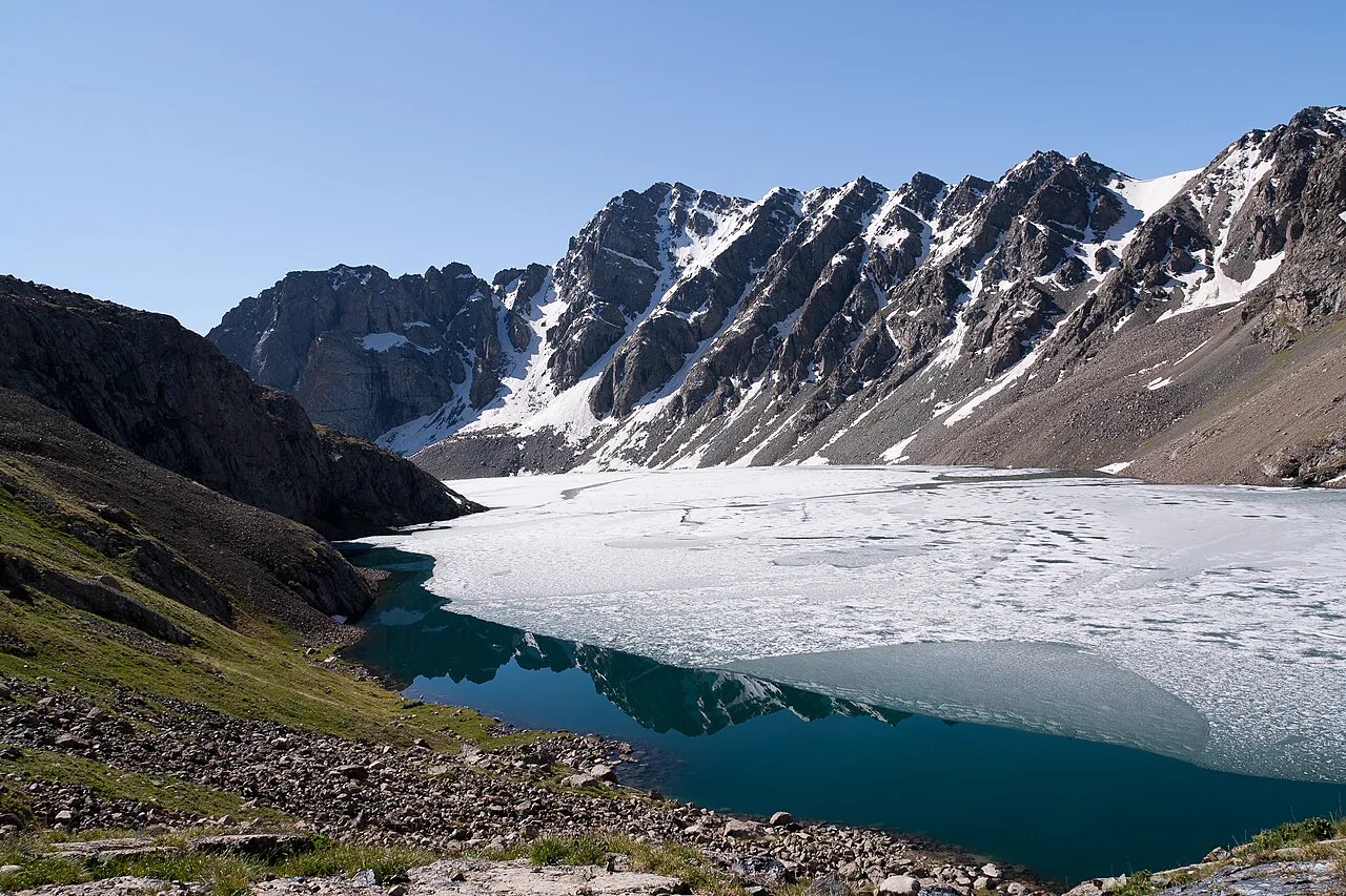
  1. Lake Ala-Kol, partly covered in ice

    Spring

    March–May

    It is still winter at the lake: about +3° by day and −5° at night in May. Ice lasts a long time: part of the lake was still frozen on 29 June 2012.

    Outside the organiser’s season: the pass is snow-covered.

    • Marchout of seasonlake −6° / −15°Karakol +5° / −5°
    • Aprilout of seasonlake −1° / −10°Karakol +10° / 0°
    • Mayout of seasonlake +3° / −5°Karakol +15° / +4°
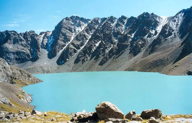
  2. Turquoise Lake Ala-Kol in a rocky basin, with glaciers above

    Summer

    June–August

    The lake is ice-free and turquoise. By day it is +7…+11° at the lake, with nights around zero. Weather changes within hours.

    July and August are trekking season. June is on the edge: ask about the pass.

    • Juneedge of the seasonlake +7° / −2°Karakol +18° / +8°
    • Julyin seasonlake +11° / +2°Karakol +21° / +11°
    • Augustin seasonlake +10° / +1°Karakol +20° / +10°
  3. Lake Ala-Kol below snow-covered peaks

    Autumn

    September–November

    Fresh snow covers the peaks in September, while the lake is still ice-free. In October, daytime temperatures at the lake are below zero; November has a winter climate.

    September is in season, October is on the edge and November is out of season.

    • Septemberin seasonlake +6° / −4°Karakol +17° / +6°
    • Octoberedge of the seasonlake −2° / −12°Karakol +9° / −1°
    • Novemberout of seasonlake −10° / −18°Karakol +2° / −8°
  4. Based on a photo by Ekrem Canli, CC BY-SA 3.0, modified

    Winter

    December–February

    The climate is deep winter: −12…−15° by day at the water, down to −22° at night. The lake is covered in ice and snow.

    Organisers do not run this trek in winter. A winter outing needs a different route and preparation.

    • Decemberout of seasonlake −14° / −21°Karakol −2° / −11°
    • Januaryout of seasonlake −15° / −22°Karakol −3° / −13°
    • Februaryout of seasonlake −12° / −20°Karakol 0° / −10°

Is it right for you?

This is a hike, not a walk to the lake

Suitable if

  • you have three spare days in Karakol;
  • you have already done multi-day treks with overnight stays;
  • you are prepared for 3,500–3,900 m altitude and sudden weather changes within a day.

Probably unsuitable if

  • you have only one day: the classic route takes 3 days / 2 nights;
  • you have no altitude experience;
  • you need a road all the way to the destination.

Walking time

Whole route

49.3 km

From the start of Karakol Gorge to Ak-Suu: ↑1,960 m, ↓2,000 m

Trail without vehicles

≈17 km

Via the lake and pass. The rest is on dirt roads; parts can be driven

Hardest section

Day 2

15 km: ↑930 m to the pass and ↓1,360 m, with scree near the top

Where it is

Location
Issyk-Kul Region
From the base
≈22 km from Karakol as the crow flies
Elevation
3 520 m
Coordinates
42.32° N, 78.54° E
Open in Maps

Before you go

Transport, money, altitude and kit

Getting there and back

  1. Outbound · marshrutka (shared minibus)

    Karakol → park entrance

    № 101, ≈10 som check for your date

  2. ≈16 km · dirt road

    Up the gorge

    Organiser’s vehicle ≈40 min; agree the drop-off point

  3. ≈17 km · trail

    Via the lake and pass

    No vehicles: on foot only, as far as Altyn-Arashan

  4. ≈15 km · dirt road

    Down to Ak-Suu

    On foot ≈4 h or by UAZ / GAZ-66 by arrangement

  5. Return · marshrutka

    Ak-Suu → Karakol

    No. 350 to the central market, ≈25–50 som check for your date

Park fee and money

National park entry
≈300 somfor foreign visitors; check how to pay
Tent
100 som
Vehicle at the entrance
200 somcar, since November 2025
Night in Altyn-Arashan
1,000–2,500 somper person, including dinner and breakfast

check for your date Before setting off, check the park fee, payment method, accommodation type and meals included; bring cash. No border-zone permit is needed for this route.

At altitude

  • Acclimatisation. Night 1 is at about 2,950 m; on day two the pass is at 3,898 m. Spend 1–2 days in Karakol first. Headache, nausea or breathlessness at rest: do not go higher, descend.
  • The pass. Usually snow-free from July to mid-September; snow patches may last until August. In June and October, ask about conditions for your date. check for your date
  • Scree. The descent to Altyn-Arashan is 10 km and ↓1,360 m, with steep scree at the top: bring poles and high-cut boots.
  • Weather. It changes within hours. Set off towards the pass in the morning and use a mountain forecast, not Karakol’s.
  • Reception. It may disappear in the mountains: download an offline map and leave your route plan at the guesthouse.
  • End of season. Most organised camps and programmes run until roughly mid- to late September. After 15 September, confirm the camp and check the forecast.
  • Booking. In summer, confirm accommodation in Altyn-Arashan or a place with the organiser in advance; check meals and arrival time.

112single emergency number, used to call rescue services

What to bring

Feet and legs
Warmth and rain
Sun and water
Night and other kit

Ticks are saved in this browser only.

Confirm before setting off

  • Both overnight staysorganiser or camp
  • Transfer on day 1 and vehicle on day 3organiser, driver
  • Pass conditions for your date, especially in June and Octoberorganiser
  • Горный прогноз на 3 500–3 900 mthe day before departure
  • Park fee and pricesat the entrance, with the organiser

Ask the organiser

  • Where mobile reception is available on the routeorganiser, guide
  • Hours from the lake over the pass to Altyn-Arashanguide
  • Whether there is a fee on the Altyn-Arashan sideorganiser
  • Karakol rescue service phone numberorganiser, guesthouse

Kyrgyz SeasonsPlanning a trip?Ask about a trip

Keep planning

Guides and ready-made itineraries

Pages that include this place in a guide or itinerary.

Routes and programmes

What the route looks like

Trek photo reel

Real photos, each with the date it was taken. Tap or click to enlarge.

  1. 13.08.2019, 13:52
  2. 15.08.2019, 09:58
  3. 15.08.2019, 08:24
  4. 14.08.2019, 17:40
  5. 14.08.2019, 19:18
  6. 14.08.2019, 16:42
  7. 14.08.2019, 16:23
  8. 14.08.2019, 15:04
  9. 13.08.2019, 20:18
  10. 13.08.2019, 15:06
  11. 13.08.2019, 14:41
  12. 13.08.2019, 13:17
  13. 13.08.2019, 07:49
  14. 13.08.2019, 07:34
  15. 13.08.2019, 07:34
  16. 13.08.2019, 13:52
  17. 29.06.2012
  18. September 2000

Ala-Kol on the map

49 km · 3 days

Terrain: Karakol Gorge, Lake Ala-Kol, the pass, Altyn-Arashan valley and Ak-Suu© OpenStreetMap

The number marks a stage and its photo.