
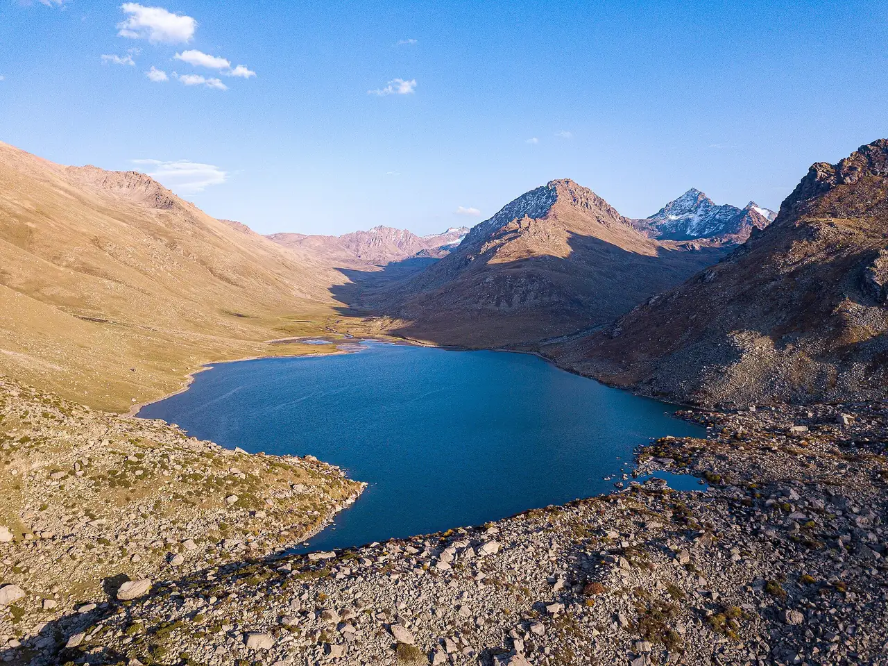
Besh-Tash: valley and mountain lake
From the lower valley to the high mountain lake Besh-Tash
Place: Besh-Tash
- ≈33 kmof map context sections
- Drive and mountain walk
- June–Augustseason
- Besh-Tash park checkpoint
In order
4 stages in a day
The map shows separate sections, rather than the entire trip. Numbers mark known landmarks; agree exact stops before travelling.
-
 03.07.2024
Visit option1 / 4
Paid valley entry
A paid checkpoint is marked on the valley road. Confirm the current fee and vehicle rules before your trip.
Next: Camp in the nature park → -
 03.07.2024
Visit option2 / 4
Camp in the nature park
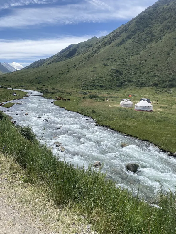
The two-day programme uses the first day to reach the nature park and set up a tent camp.
Next: Out-and-back lake walk → -
 21.09.2024
Visit option3 / 4
Out-and-back lake walk
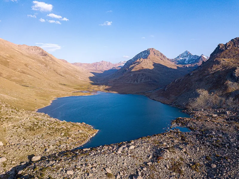
The second day includes an out-and-back walk to the lake: 12 km on foot, from 2,675 to 3,000 m.
Next: Besh-Tash river valley → -
 03.07.2024
Choosing a separate module4 / 4
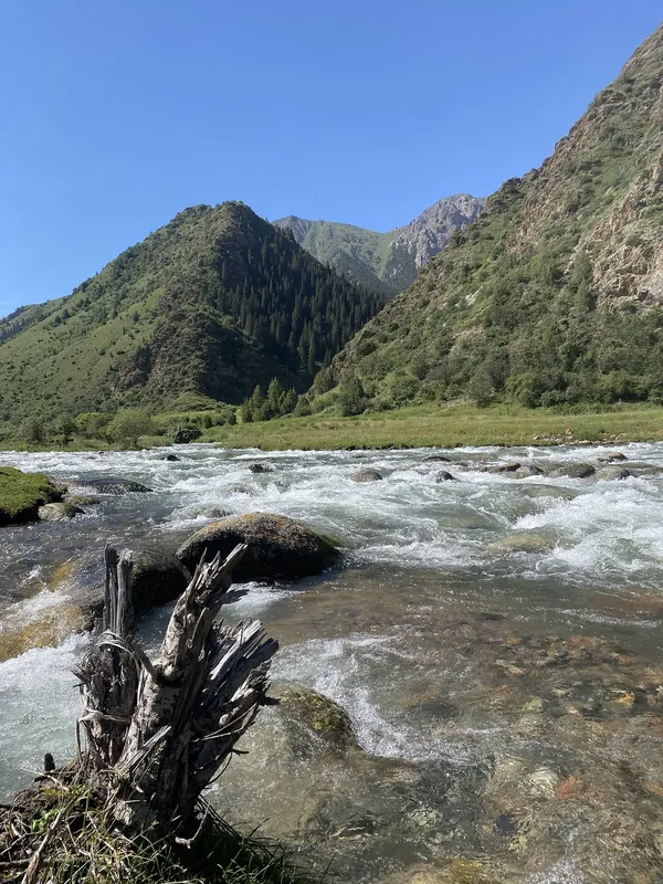
Besh-Tash river valley
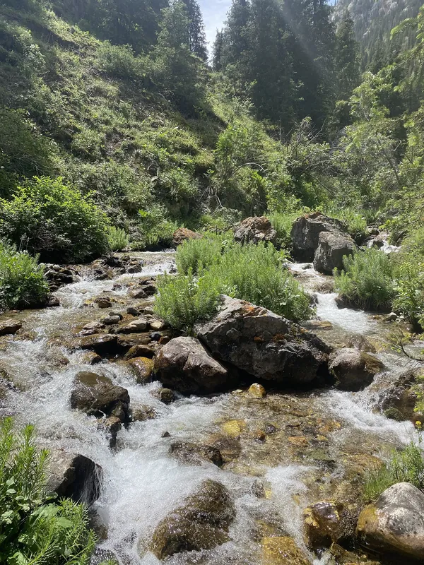
The Besh-Tash river flows between stony banks and green slopes. A separate valley module shows this landscape; agree the walk location and safe access locally.
Next: Besh-Tash: four seasons ↓
Seasons
Besh-Tash: four seasons
Season: June–August.
-
Spring
March–May- Marchout of season
- Aprilout of season
- Mayout of season
-
Summer
June–August- Juneseason
- Julyseason
- Augustseason
-
Autumn
September–November- Septemberout of season
- Octoberout of season
- Novemberout of season
-
Winter
December–February- Decemberout of season
- Januaryout of season
- Februaryout of season
Where it is
- Location
- Talas Region
- From the base
- ≈21 km from Talas as the crow flies
- Coordinates
- 42.34° N, 72.33° E
Before you go
Getting there and what to know before you go
How to get there
Before your trip
Besh-Tash valley checkpointAgree the destination, entrance, transport, return route, parking and camp departure time with your guide before the walk.
Money, SIM cards and help
- Cash. Check current admission and service fees before travelling.
What to bring
Ticks are saved in this browser only.
Check before departure
- Fees, hours, transport and permits Administration or guide
- Chosen trail opening and return transport Ask a local guide
- Opening hours and admission fee
- Vehicle rules
- Permit for your chosen route
- Where the road ends and how to continue
- Arrangements at your chosen camp or overnight stop
All photos
Besh-Tash in photos
Real photos, each with the date it was taken. Tap or click to enlarge.
- 09.08.2007
- 03.07.2024
- 03.07.2024
- 03.07.2024
- 21.09.2024
Nearby
Nearby and where to go next
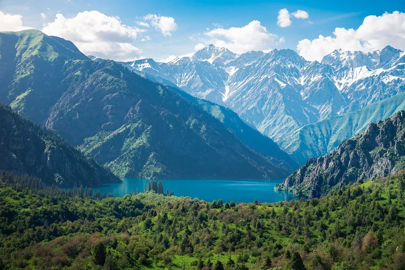 Route · ≈59 km as the crow fliesLake Sary-ChelekOver the pass to lakes and walnut forests
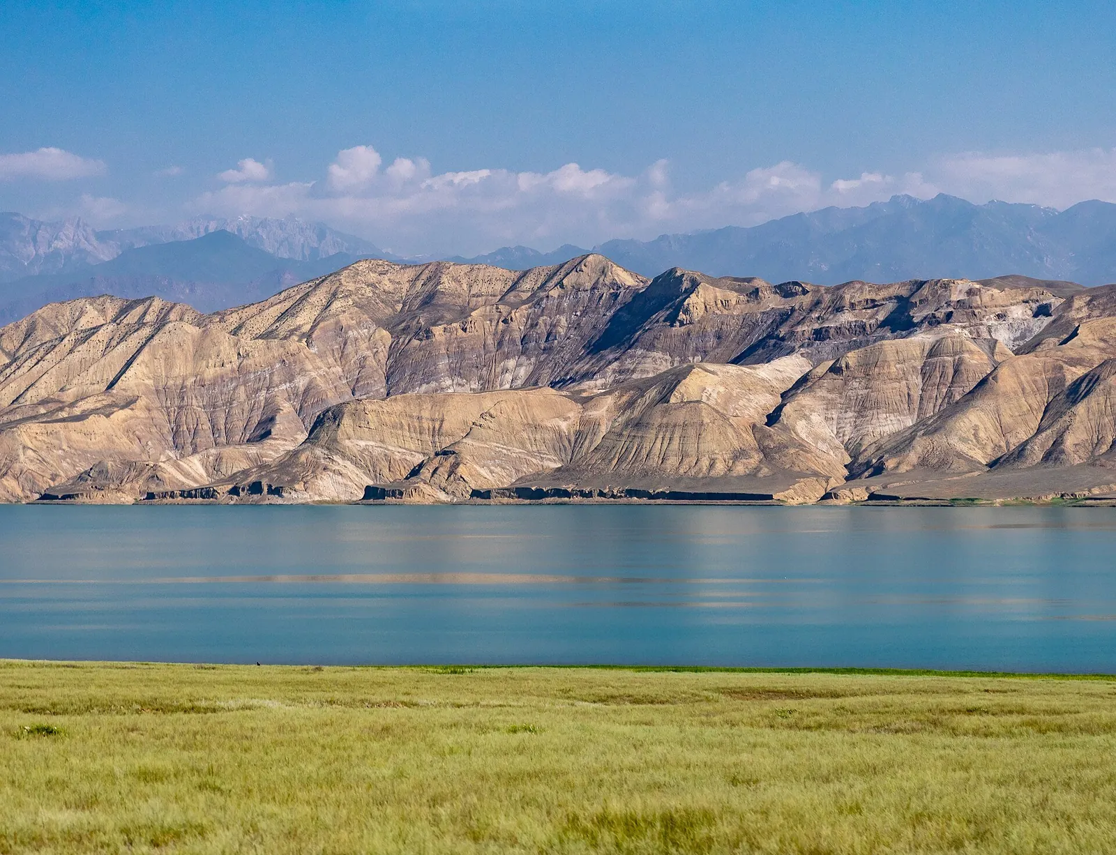 Route · ≈80 km as the crow fliesToktogul ReservoirWalk from Toktogul to a reservoir viewpoint
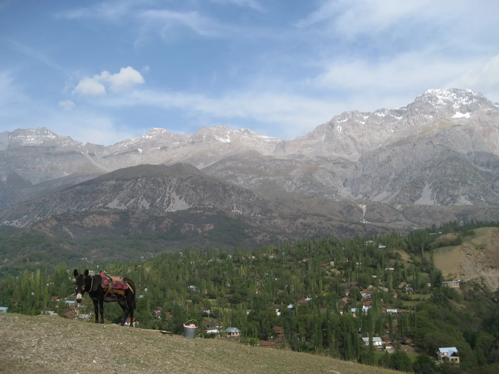 Base · ≈129 km as the crow fliesArslanbobA village amid walnut forests: stays with local families, walks and trips to waterfalls.