Kochkor → Kol-Ukok, 2 days
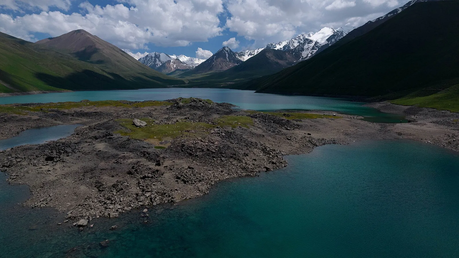
Two days at a mountain lake, with a night in a shepherd’s yurt
Place: Kol-Ukok
- 2 days, 1 nightYurt by the lake
- ≈8 kmof map context sections
- Transfers and walksOn foot or on horseback
- KochkorTransfer to Isakiyev
In order
6 stages over 2 days
The map shows separate sections, rather than the entire trip. Numbers mark known landmarks; agree exact stops before travelling.
-
 13.08.2017
Day 11 / 6
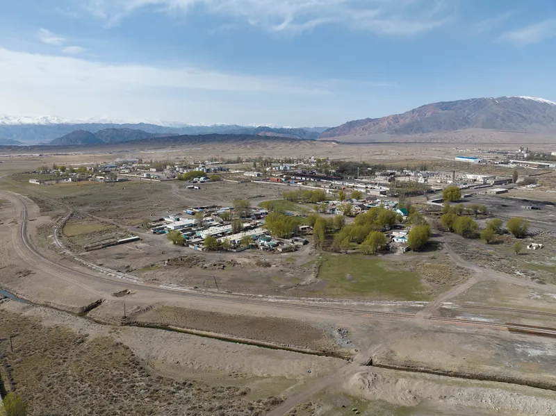
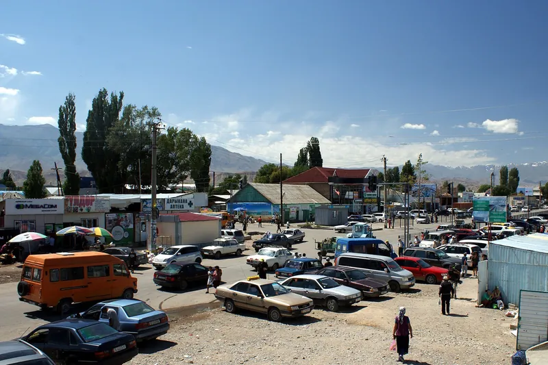
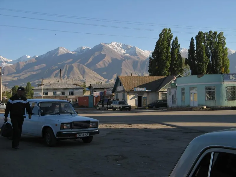
Kochkor → Isakiev
Drive from Kochkor to Isakiev. Confirm the pick-up address in advance.
Next Via Ters-Tor to the lake → -
 14.06.2026
Day 12 / 6
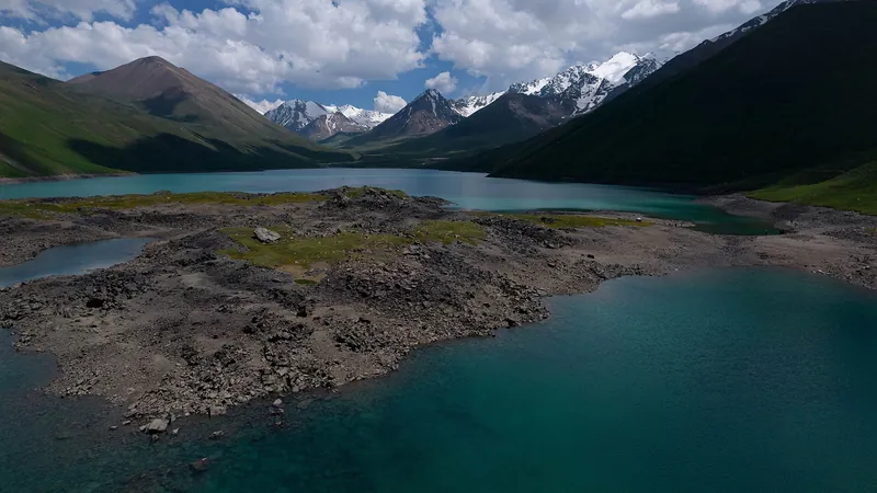
Via Ters-Tor to the lake
Follow the Ters-Tor pastures, with lunch on the way. The horseback option takes about 4 h.
Next Night in a yurt → -
 14.06.2026
Day 13 / 6
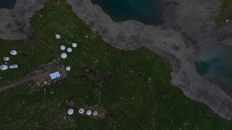
Night in a yurt
Dinner and overnight in a shepherd’s yurt by the lake. Confirm the conditions and the place’s name in advance.
Next Breakfast by the lake → -
 14.06.2026
Day 24 / 6
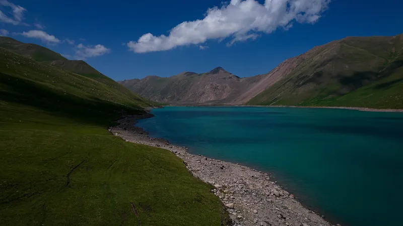
Breakfast by the lake
After breakfast, return or take an optional walk to the upper lake.
Next Option: Kol-Tor lake → -
 14.06.2026
Day 25 / 6
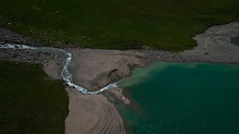
Option: Kol-Tor lake
An optional morning walk to the lake at 3,400 m, followed by lunch in the yurt.
Next Back to Kochkor → -
Day 26 / 6
Back to Kochkor
Return to the trailhead, then drive for 30 min. After the Kol-Tor walk, the walk back takes 3.5 h.
Next Kol-Ukok: four seasons ↓
Seasons
Kol-Ukok: four seasons
Monthly temperatures at the destination: averages for 2016–2025, not a forecast.
-
Spring
March–May- Marchat the destination −1° / −11°
- Aprilat the destination +4° / −6°
- Mayat the destination +9° / −2°
-
Summer
June–August- Juneat the destination +12° / +2°
- Julyat the destination +15° / +5°
- Augustat the destination +14° / +3°
-
Autumn
September–November- Septemberat the destination +10° / 0°
- Octoberat the destination +3° / −6°
- Novemberat the destination −3° / −12°
-
Winter
December–February- Decemberat the destination −7° / −17°
- Januaryat the destination −8° / −19°
- Februaryat the destination −6° / −17°
Where it is
- Location
- Naryn Region
- From the base
- ≈19 km from Kochkor as the crow flies
- Coordinates
- 42.09° N, 75.92° E
Before you go
Getting there and what to know before you go
How to get there
From Kochkor
30 min by carTransfer to Isakiev, then walk or ride to the lake. Confirm the meeting point in advance.
Return to Kochkor
30 min by carAfter descending to the trailhead, return by car. Confirm the meeting time with the driver through your guide.
Money, SIM cards and help
- Cash. Agree the cash amount, meal arrangements and horseback option with the organiser in advance. check for your date
112all emergencies
What to bring
Ticks are saved in this browser only.
Check before departure
- Weather, trail and Kol-Tor option Guide
- Yurt, meals and price Organiser
- Both transfers and meeting points Driver
- Specific yurt and starting point
- Price and meals along the way
- Horseback option conditions
- Communication and trail conditions
All photos
Kol-Ukok in photos
Real photos, each with the date it was taken. Tap or click to enlarge.
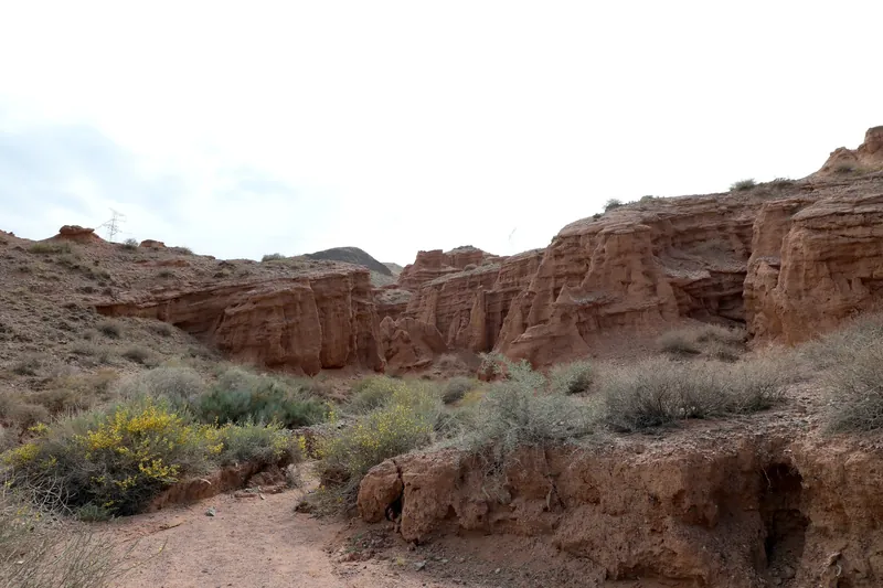
- 13.08.2017
- 14.06.2026
- 14.06.2026
- 14.06.2026
- 14.06.2026