Kol-Ukok
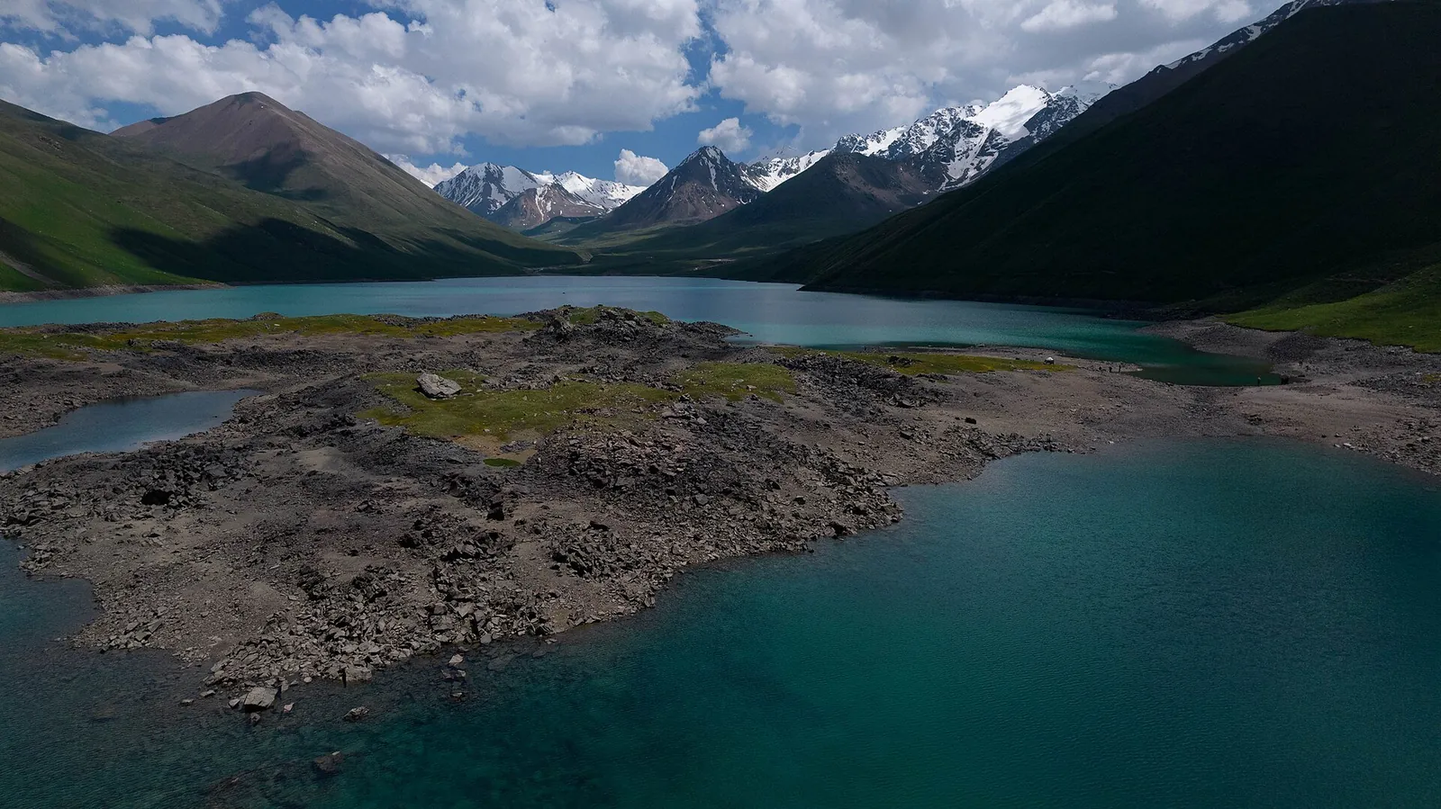
Kol-Ukok is a high-mountain lake. It is in Naryn Region.
- Not specifiedElevation
- Naryn RegionRegion
- LakeType
- July–AugustSeasons
Seasons
Four seasons
Monthly temperatures at the destination: averages for 2016–2025, not a forecast.
-
Spring
March–May- Marchat the destination −1° / −11°
- Aprilat the destination +4° / −6°
- Mayat the destination +9° / −2°
-
Summer
June–August- Juneat the destination +12° / +2°
- Julyat the destination +15° / +5°
- Augustat the destination +14° / +3°
-
Autumn
September–November- Septemberat the destination +10° / 0°
- Octoberat the destination +3° / −6°
- Novemberat the destination −3° / −12°
-
Winter
December–February- Decemberat the destination −7° / −17°
- Januaryat the destination −8° / −19°
- Februaryat the destination −6° / −17°
Seasons
For a summer visit, the guide season is mid-June–mid-September. Check that the yurt camp is operating and that a transfer to the shore is possible in advance; conditions vary at the beginning and end of the season.
Photo roll
Real photos, each with the date it was taken. Tap or click to enlarge.
- 14.06.2026
- 14.06.2026
- 14.06.2026
Where it is
- Location
- Naryn Region
- From the base
- ≈19 km from Kochkor as the crow flies
- Coordinates
- 42.09° N, 75.92° E
Getting to the base
From Kochkor, you can book an off-road transfer to the yurt camps by the lake, about 20 km along a dirt road. For a walking approach, ask to be dropped at the bridge at the start of the valley: the transfer shortens the walk by about 7 km, leaving about 14.5 km and 4.5 hours on foot to the lake. Indicative price for a transfer to the bridge in 2025: 600 som per vehicle; agree the price for your date separately. Another option is a transfer to Isakiyev followed by a horseback approach with a guide.