
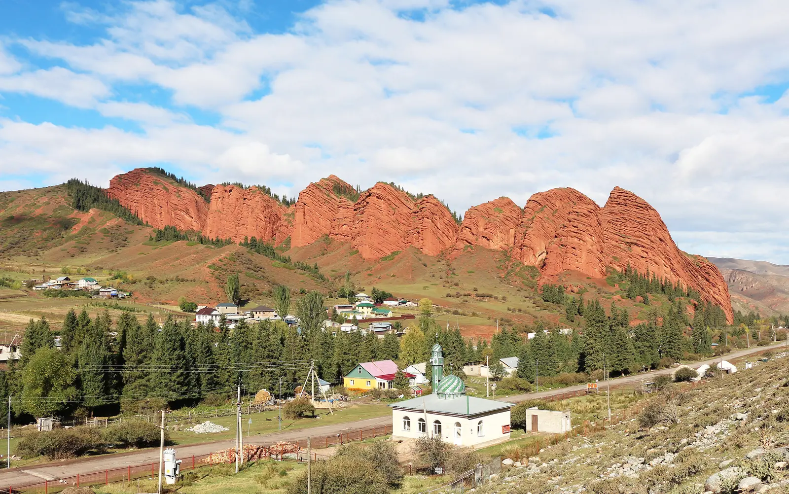
Karakol → Jeti-Oguz → Kok-Jaiyk → Maiden Braids, 1 day
Red rocks, Kok-Jaiyk meadows, a waterfall and a view of Oguz-Bashi – by car from Karakol and back before evening.
Place: Jeti-Oguz
- 1 day09:00–16:30, no overnight stay
- ≈90 km4×4, 6–7 h in the car
- For everyonefamilies too
- May–Octoberwhen the programme runs
- 1,753 → 2,488 mfrom Karakol to the waterfall
The day in order
Eight stops between 09:00 and 16:30
The map on the left follows your progress: the day’s road, the clock hand and your current stop. Tap a number to open a photo.
-
 28.09.2009
10:001 / 8
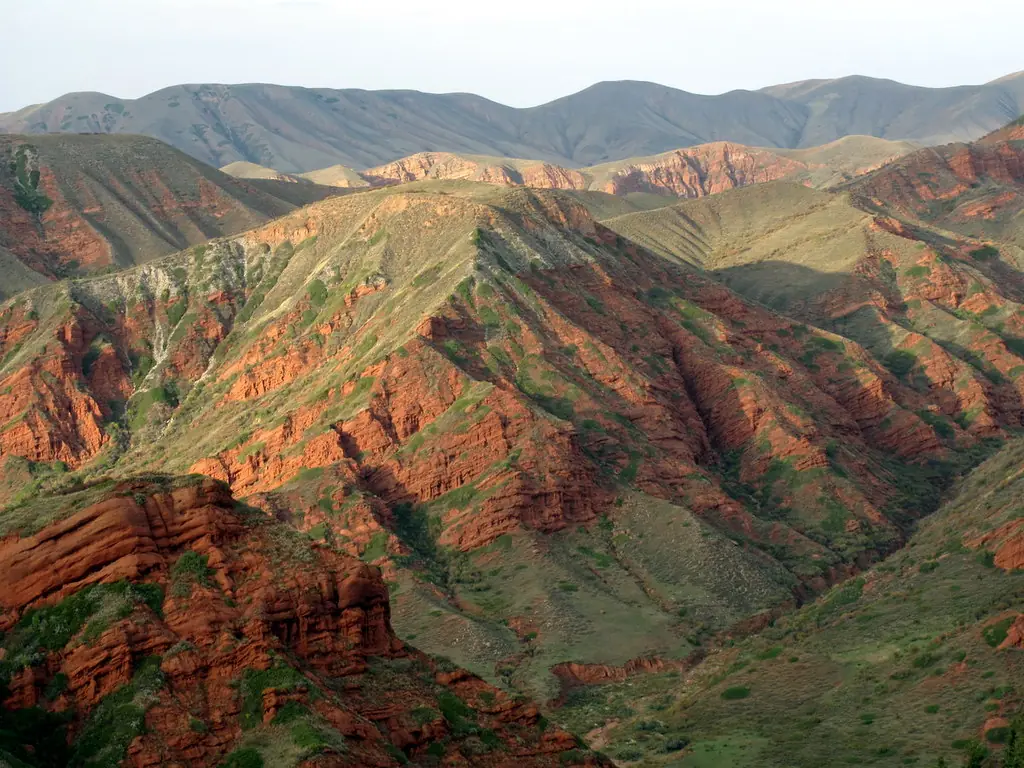
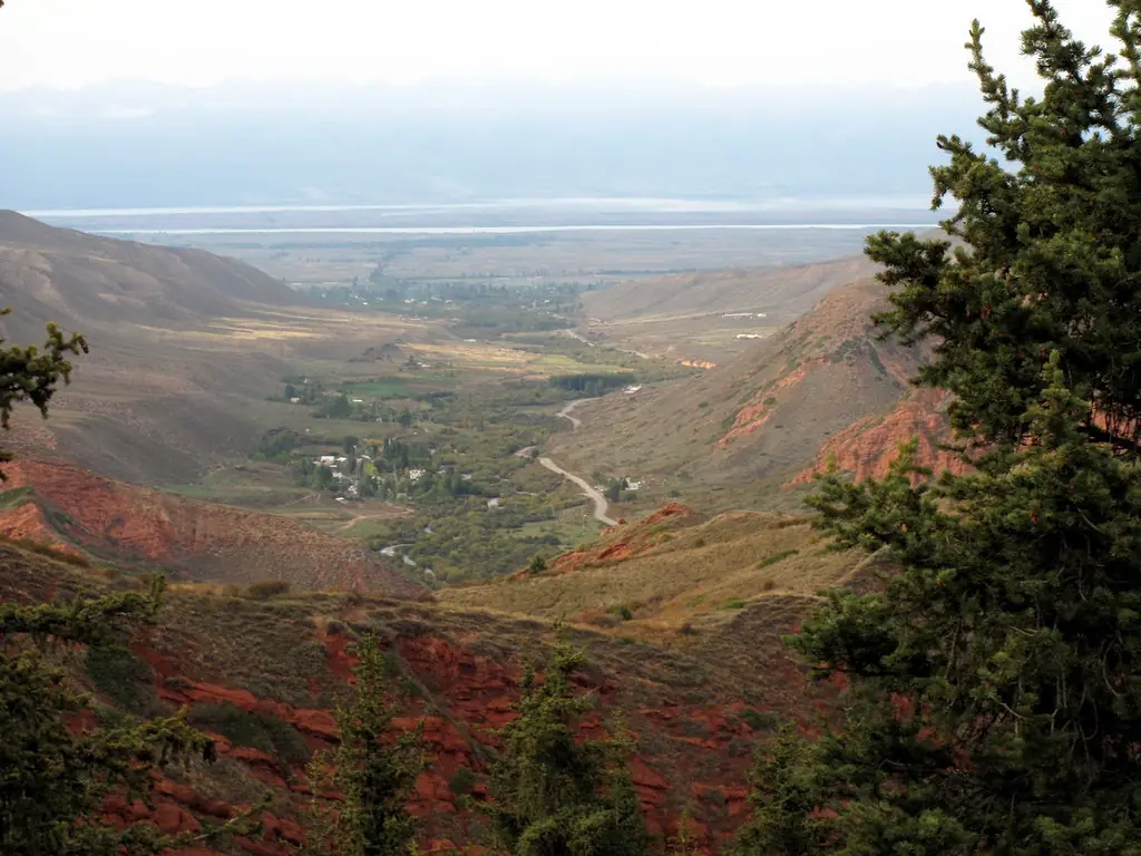
Red canyons
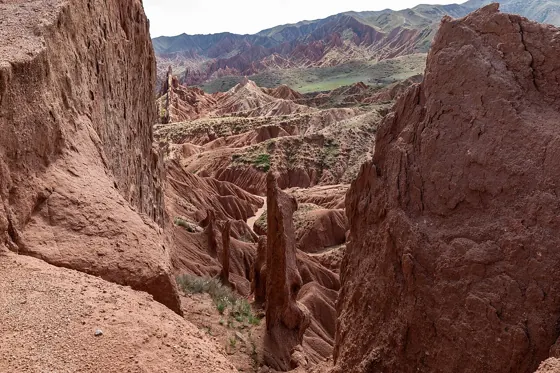
The first stop is the red sandstone canyons of Kyzyl-Jar, on the way through the Yrdik valley.
The driver will tell you where the car stops.
Next: Seven Bulls → -
23.09.2023
11:002 / 8
Seven Bulls rocks
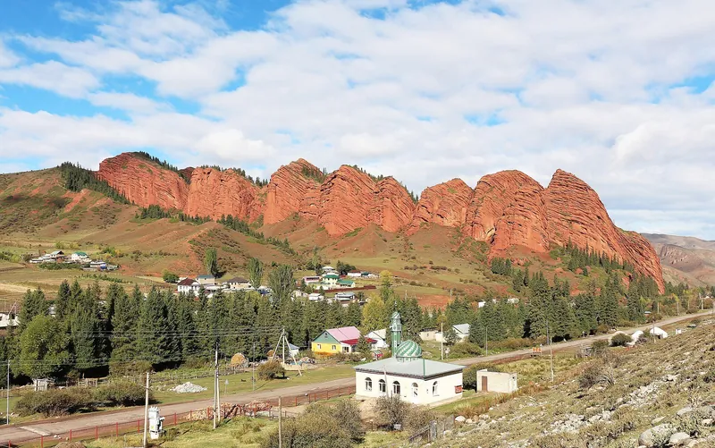
A ridge of red rocks above Jeti-Oguz resort. View it from the road and viewpoint; the programme includes no climbing.
Next Broken Heart → -
 23.09.2023
same place3 / 8
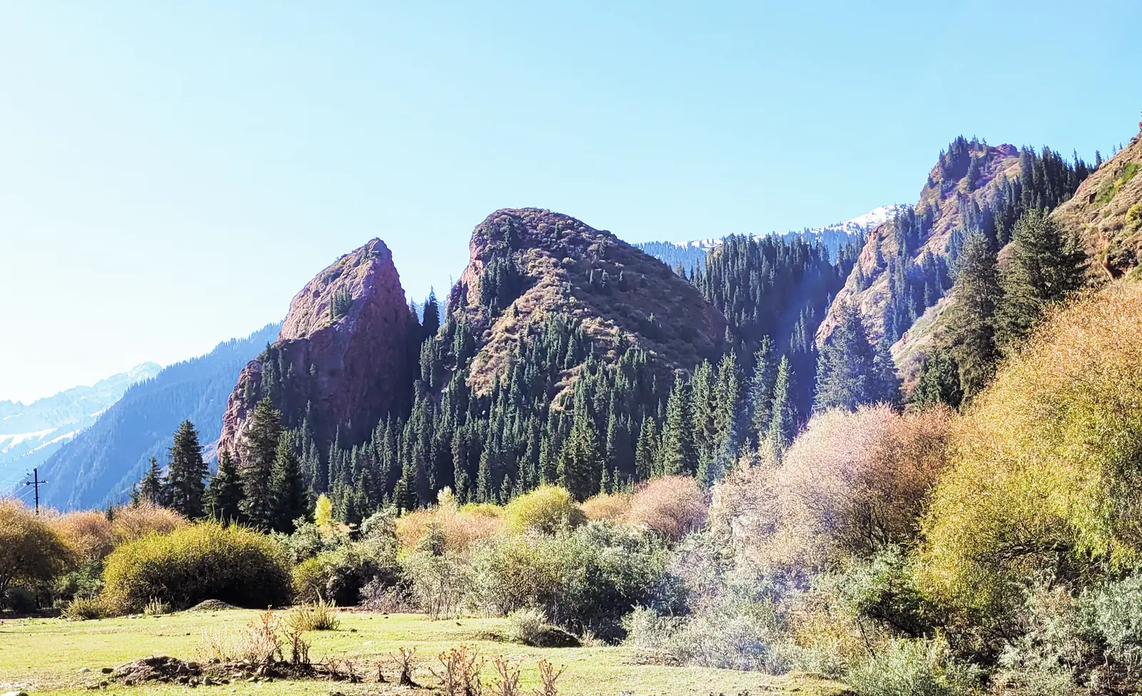
Broken Heart rock
A red rock split in two, beside the Seven Bulls, at the same stop.
Next Kok-Jaiyk meadows → -
 22.07.2017
12:004 / 8
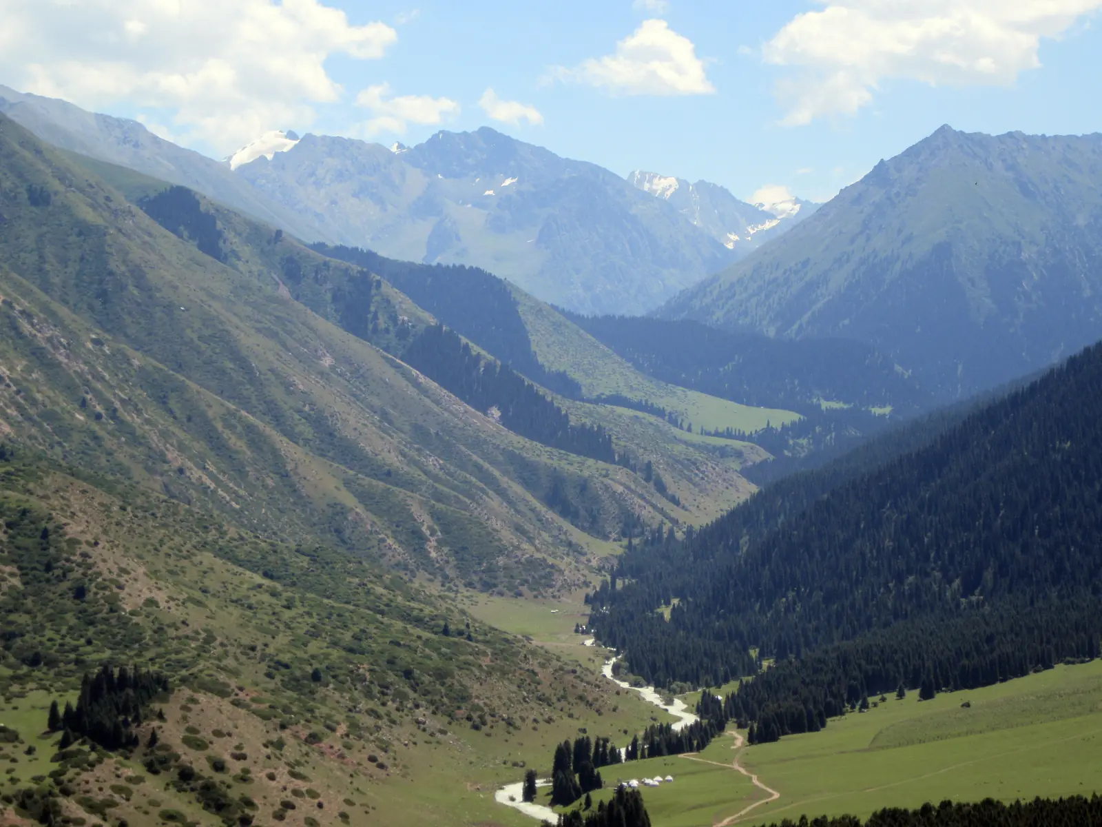
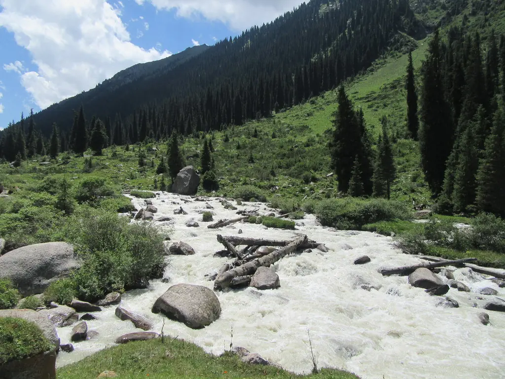
Kok-Jaiyk meadows
The car climbs up the gorge past the resort to the meadows: spruce trees, river and herders’ yurts. The walk starts here.
Next: Maiden Braids Waterfall → -
 22.07.2017
12:00–13:305 / 8
Maiden Braids Waterfall
Walk ≈2.4 km one way, uphill from the meadows to the waterfall. The schedule allows an hour and a half for the walk there and back.
Next: Lunch in a yurt → -
 01.09.2022
13:306 / 8
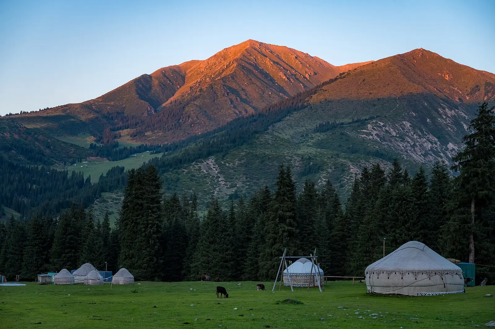
Lunch in a yurt
Lunch in a yurt camp is optional and not included in the price. Order a packed lunch in advance or bring your own food.
Next: View of Oguz-Bashi → -
 07.07.2012
15:007 / 8
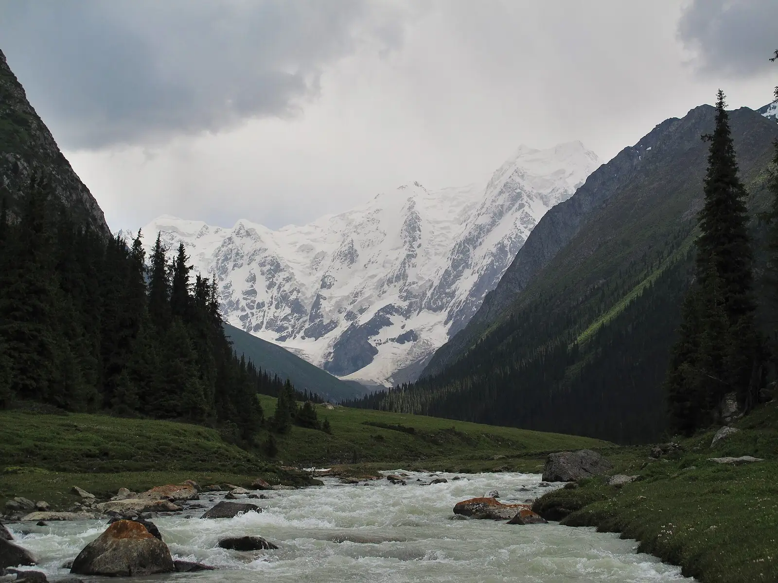
View of Oguz-Bashi
Next: up the valley to the foot of Oguz-Bashi, 5,168 m. A walk and photos; there is no ascent to the summit.
Next: Back to Karakol → -
 28.09.2009
16:308 / 8
Back to Karakol
Down the gorge, past the resort and village of Jeti-Oguz. Confirm the return time to Karakol with the driver.
Next: One gorge – four seasons ↓
In order
Variant: Karakol → Jeti-Oguz → Kok-Jaiyk, 1 day
The map shows separate sections, rather than the entire trip. Numbers mark known landmarks; agree exact stops before travelling.
-
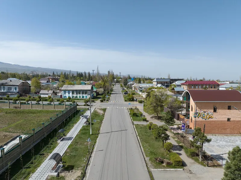 28.04.2023
 -
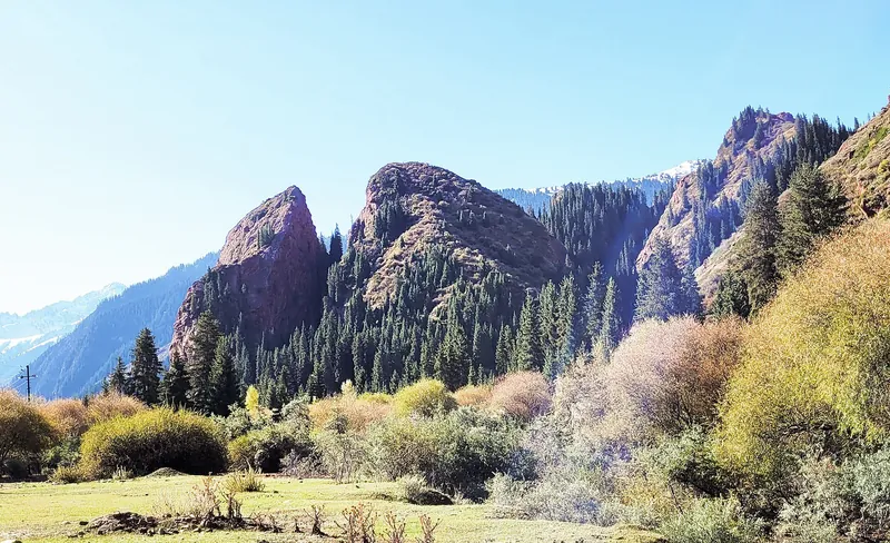 23.09.2023
 -
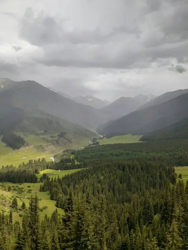 13.05.2024
 -
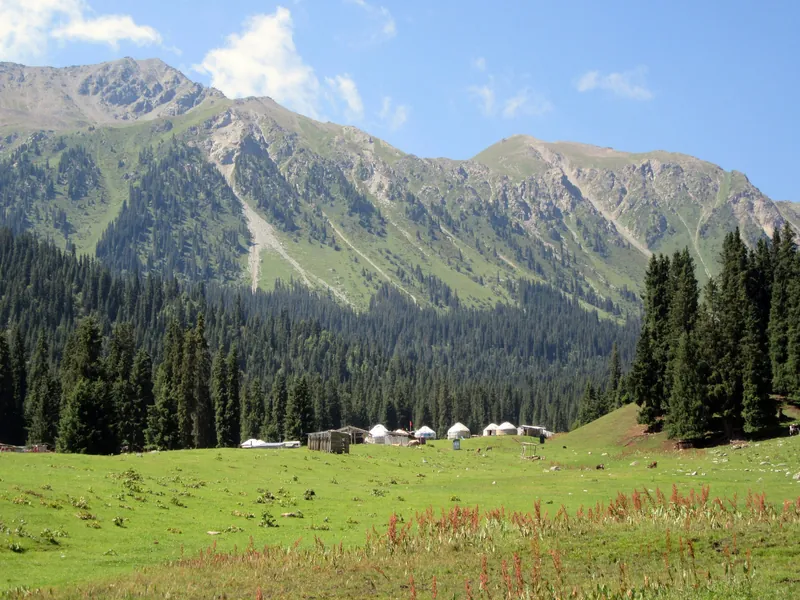
Day trip4 / 5
Walk by the waterfall
Visit the waterfall and walk in the surrounding area.
Next Return to Karakol → -
Day trip5 / 5
Return to Karakol
Return journey to Karakol.
Next: Jeti-Oguz and the valley of flowers: four seasons ↓
Seasons
Jeti-Oguz and the valley of flowers: four seasons
Season: May–September.
-
Spring
March–May- Marchout of season
- Aprilpossible
- Mayseason
-
Summer
June–August- Juneseason
- Julyseason
- Augustseason
-
Autumn
September–November- Septemberseason
- Octoberpossible
- Novemberout of season
-
Winter
December–February- Decemberout of season
- Januaryout of season
- Februaryout of season
In order
Variant: Karakol panorama → temples → Jeti-Oguz, 1 day
The map shows separate sections, rather than the entire trip. Numbers mark known landmarks; agree exact stops before travelling.
-
 28.02.2024
Day 31 / 10
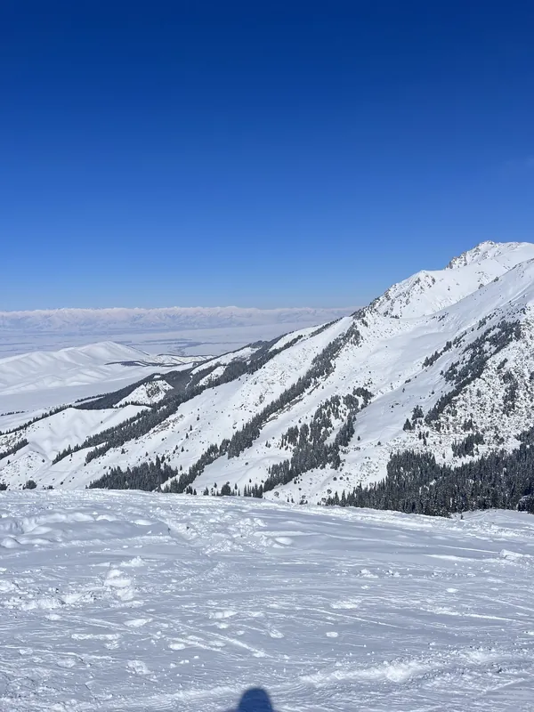
To the ski resort
In the morning, travel from Karakol to the ski resort.
Next: Scenic ascent → -
 28.02.2024
 -
 28.02.2024
Day 33 / 10
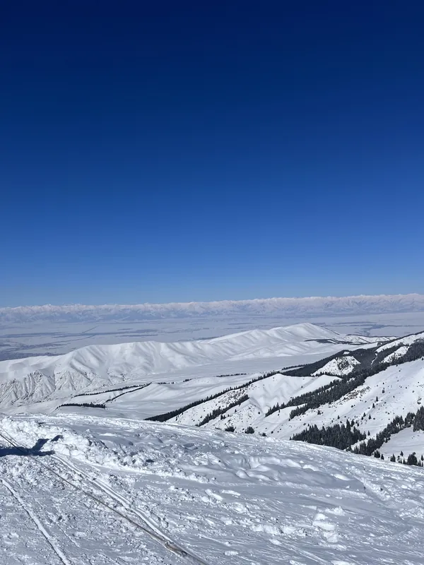
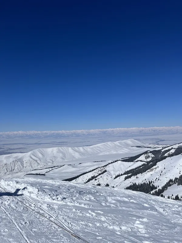
Walk on the plateau
From the plateau, view the mountain peaks, Issyk-Kul and alpine meadows.
Next: Back to Karakol → -
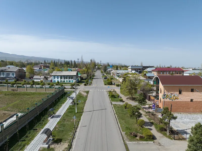 28.04.2023
 -
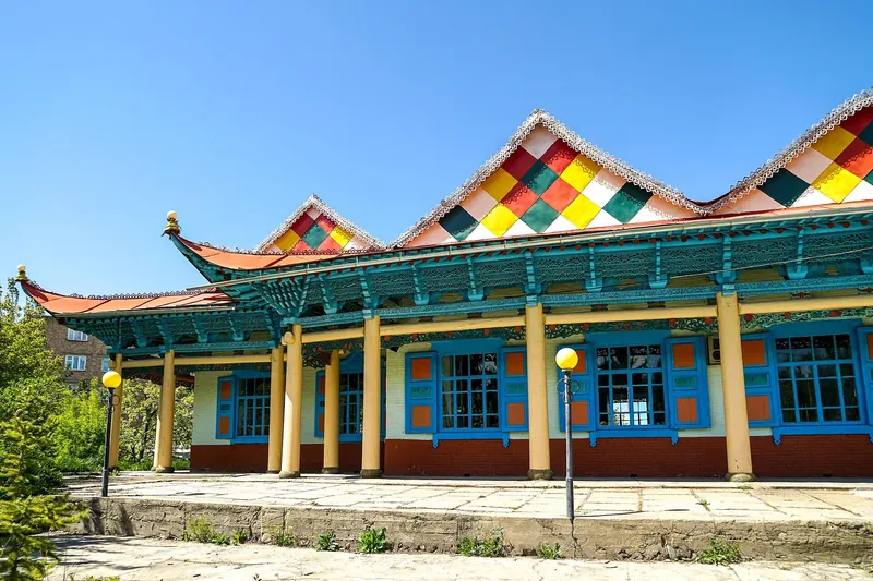 07.07.2019
 -
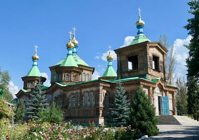 01.08.2019
Day 36 / 10
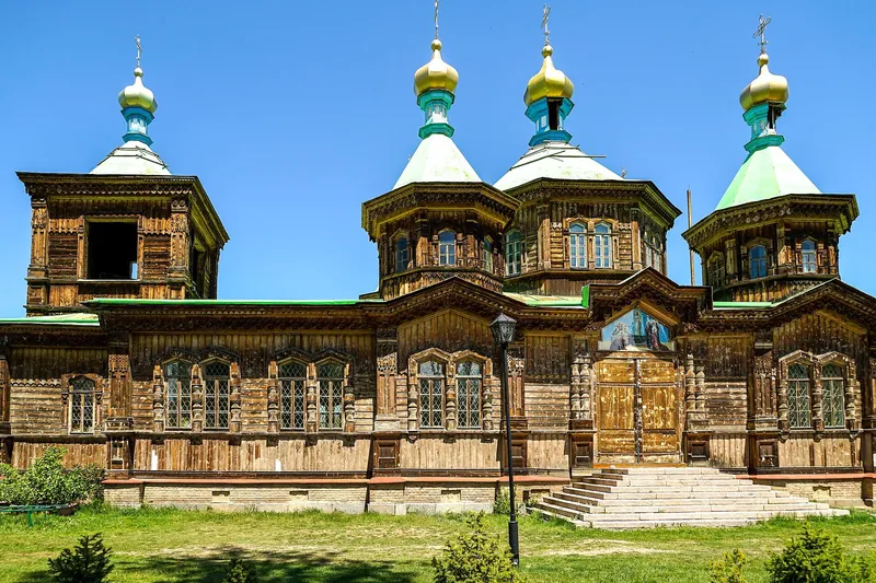
Cathedral and lunch
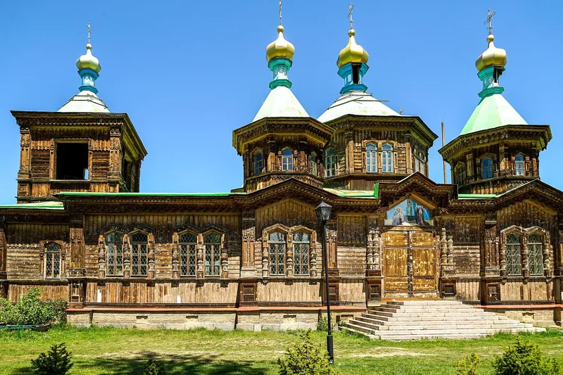
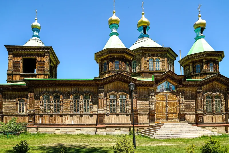
Visit the Orthodox cathedral, then have lunch at a restaurant.
Next: Jeti-Oguz and jailoo → -
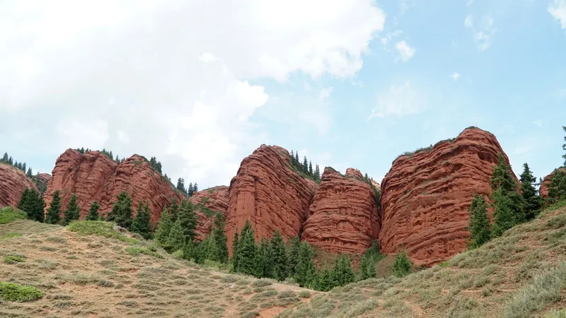 24.08.2018
Day 37 / 10
Jeti-Oguz and jailoo
Drive to the red rocks of the Seven Bulls. Then cross the bridges deeper into the valley to the pasture.
Next: Horse ride → -
 23.09.2023
Day 38 / 10
Horse ride
Ride from the pasture up to Maiden Braids waterfall and back.
Next: Return to Karakol → -
-
Day 310 / 10
Rest and dinner
Rest at the hotel, dinner at a restaurant and free time.
Next: Panorama, Karakol and Jeti-Oguz: four seasons ↓
Seasons
Panorama, Karakol and Jeti-Oguz: four seasons
Season: June–October.
-
Spring
March–May- Marchout of season
- Aprilout of season
- Mayout of season
-
Summer
June–August- Juneseason
- Julyseason
- Augustseason
-
Autumn
September–November- Septemberseason
- Octoberseason
- Novemberout of season
-
Winter
December–February- Decemberout of season
- Januaryout of season
- Februaryout of season
Seasons
One gorge – four seasons
The programme runs from May to October; the rocks are visible all year. Monthly temperatures by the rocks at 2,079 m: averages for 2016–2025, not a forecast.
-
Spring
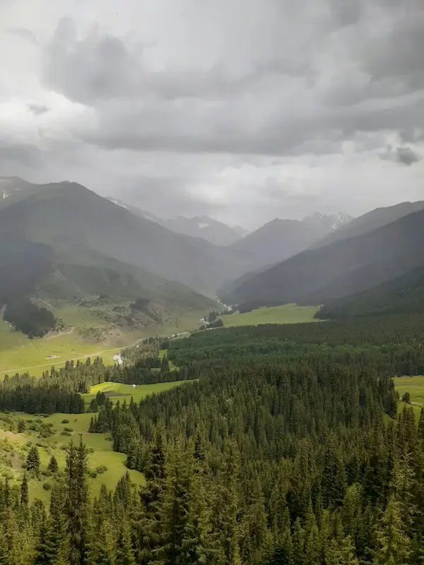
March–MayThe programme starts in May: the meadows turn green, with snow still on the slopes. Photo of Kok-Jaiyk: 13 May 2024.
- Marchoutside the programmeby the rocks +2° / −6°
- Apriloutside the programmeby the rocks +7° / −2°
- Mayprogramme runningby the rocks +12° / +2°
-
Summer
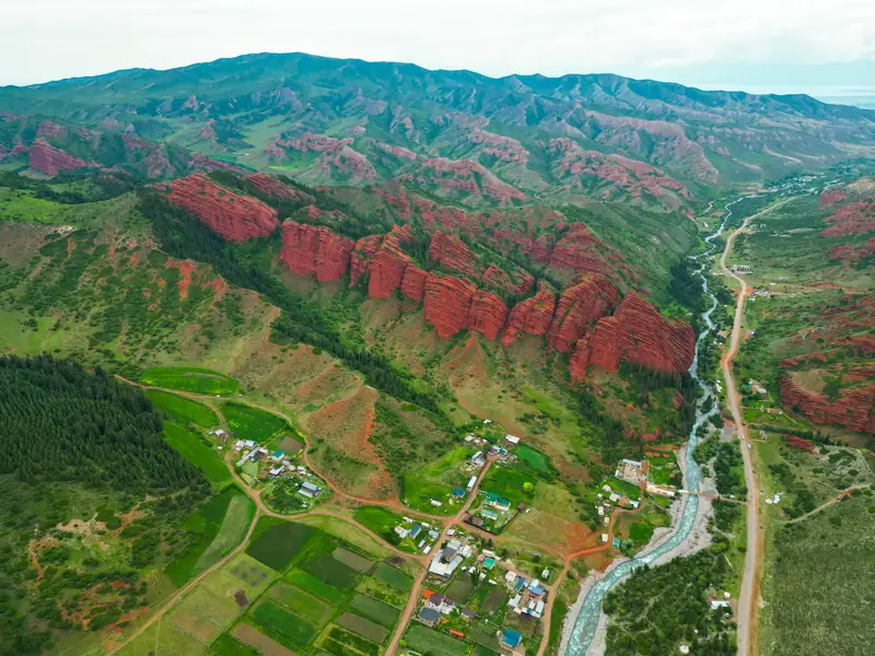
June–AugustThe warmest time, with yurts in the meadows. The rocks, village and river seen from above: 17 June 2024.
- Juneprogramme runningby the rocks +15° / +6°
- Julyprogramme runningby the rocks +18° / +9°
- Augustprogramme runningby the rocks +17° / +8°
-
Autumn
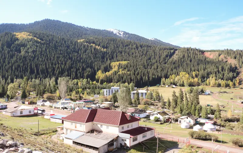
September–NovemberIn September, trees around the resort turn yellow; October is the programme’s last month, with frost already at night.
- Septemberprogramme runningby the rocks +14° / +4°
- Octoberprogramme runningby the rocks +7° / −2°
- Novemberoutside the programmeby the rocks 0° / −8°
-
Winter
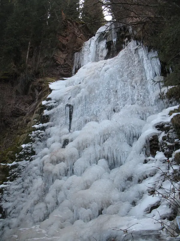
December–FebruaryThe programme does not run; the rocks can be seen from the road all year. The gorge’s waterfalls freeze in winter.
- Decemberoutside the programmeby the rocks −4° / −11°
- Januaryoutside the programmeby the rocks −5° / −13°
- Februaryoutside the programmeby the rocks −3° / −11°
Where it is
- Location
- Issyk-Kul Region
- From the base
- ≈27 km from Karakol as the crow flies
- Coordinates
- 42.52° N, 78.07° E
Included in these guides
Before you go
With a tour or independently: money, mountains and packing
How to get there
With a tour · 4×4
The same car all dayDriver-guide, meeting in Karakol at an agreed place. 2–10 people
Independently · marshrutka (fixed-route minibus)
From Ak-Tilek MarketNo. 372 (also called No. 371): around 40 som to the village, 80–120 som to the resort. Before boarding, ask about the terminus and fare check for your date
Independently · taxi
1,500–2,000 somper car one way check for your date
Village ≠ resort
Ask for the terminusSome vehicles stop at the village; the rocks and resort are further up the gorge. Return from the resort around 16:00
Money
- Day tour
- on requestthe organiser will quote the price
- National park fee
- included in the tourtravelling independently: ask at the entrance
- Lunch in a yurt
- ≈400 somnot included in the tour
- Marshrutka
- ≈40 som to the village80–120 som to the resort
check for your date Prices change – ask before your trip. Bring cash in som.
In the mountains
- Altitude. From 1,753 m in Karakol to ≈2,490 m at the waterfall. Higher up it is colder than in town: by the rocks, July daytime temperatures are ≈+18°, October ≈+7°.
- Trail to the waterfall. ≈2.4 km one way, with ≈210 m of ascent. Muddy after rain; horses share the trail.
- Mudflows. Check Emergency Ministry warnings before leaving: when mudflows threaten, the advice is to avoid gorges and resting beside rivers.
- Bridges and fords. Rain can wash them out – ask your guesthouse or driver about the road.
- Reception. Reception may disappear in the gorge: download an offline map and save the driver’s number beforehand.
112single emergency number, free and available around the clock
What to bring
Ticks are saved in this browser only.
Check before you leave
- Meeting time and placeorganiser
- Price and what it includesorganiser
- Lunch or packed lunchorder in advance
- Road access to Oguz-Bashi for your datedriver
- Mudflow warningsEmergency Ministry, the day before
Ask along the way
- Where to stop at Kyzyl-Jar canyonsdriver
- How far to walk by the rocks and Oguz-Bashiorganiser
- When you will return to Karakolorganiser
- Whether there is mobile reception in the upper valleydriver
Keep planning
Guides and ready-made itineraries
Pages that include this place in a guide or itinerary.
All photos
The gorge in photos since 2007
Real photos, each with the date it was taken. Tap or click to enlarge.
- 28.09.2009
- 22.07.2017
- 22.07.2017
- 23.09.2023
- 24.08.2018
- 27.07.2007
- 07.07.2019
- 23.09.2023
- 06.08.2012
- 31.05.2008
- 17.06.2024
- 23.09.2023
- 10.11.2007
- 13.05.2024
- 22.07.2017
- 22.06.2026
- 02.09.2022
- 22.07.2017
- 01.09.2022
- 22.07.2017
- 01.09.2022
- 07.07.2012
- 22.07.2017
- 28.09.2009
- 10.11.2007
Nearby
Nearby and where to go next
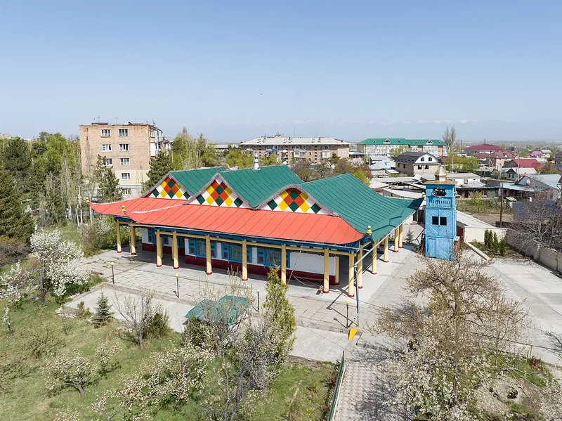 Base · trips start hereKarakolThe town you set out from into the mountains: places to stay, roads, what’s nearby.
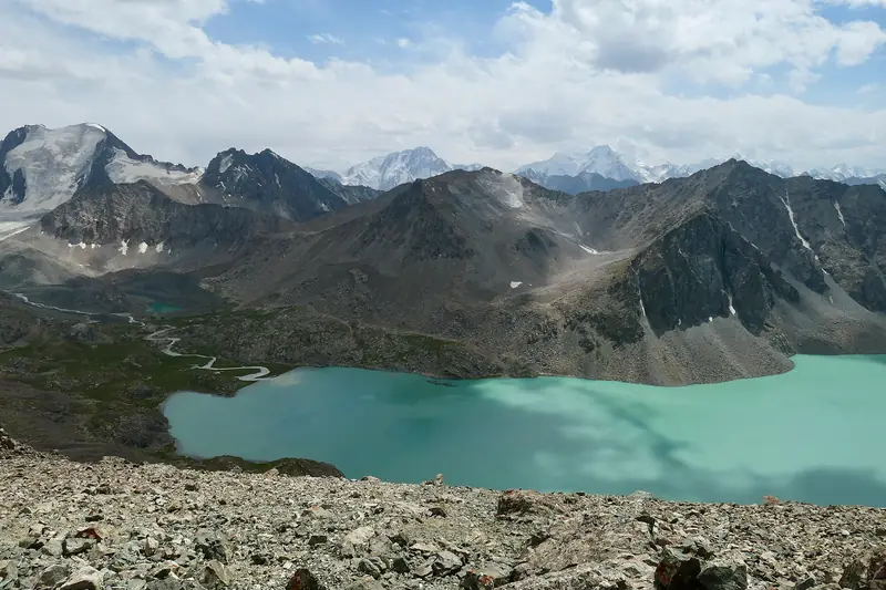 Trek · 3 daysLake Ala-KolA turquoise lake at 3,519 m, reached on foot from Karakol Gorge.
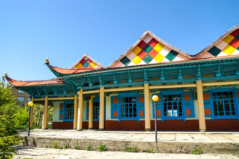 In Karakol · 1 hourDungan MosqueA wooden mosque from 1910, built without a single nail.
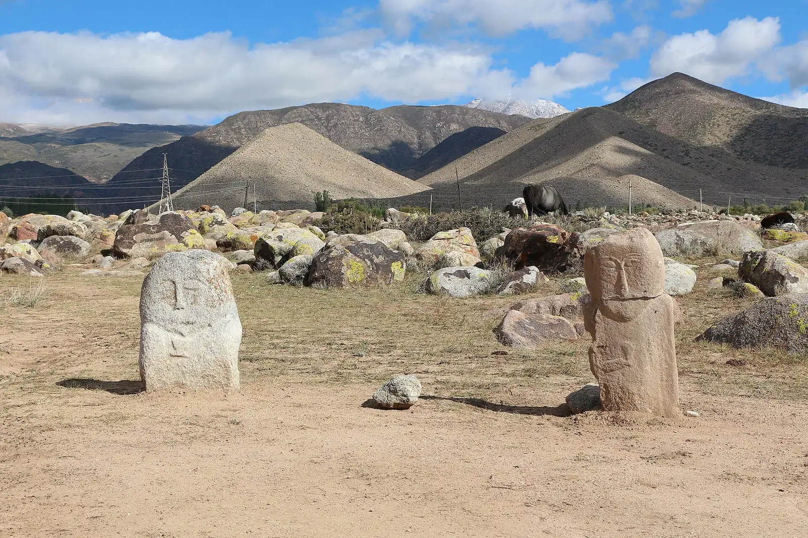 Route <0.1 km as the crow fliesCholpon-Ata, Kyrchyn and KarakolPetroglyphs, Kyrchyn valley and a night in Karakol
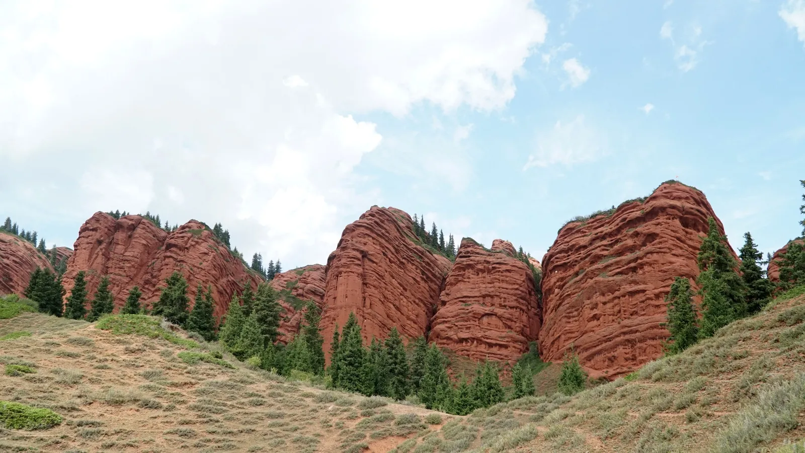 Route <0.1 km as the crow fliesPanorama, Karakol and Jeti-OguzMountains, places of worship in Karakol and a horse ride to a waterfall
 Day · south shoreSkazka CanyonRed clay “castles” right beside Issyk-Kul.