
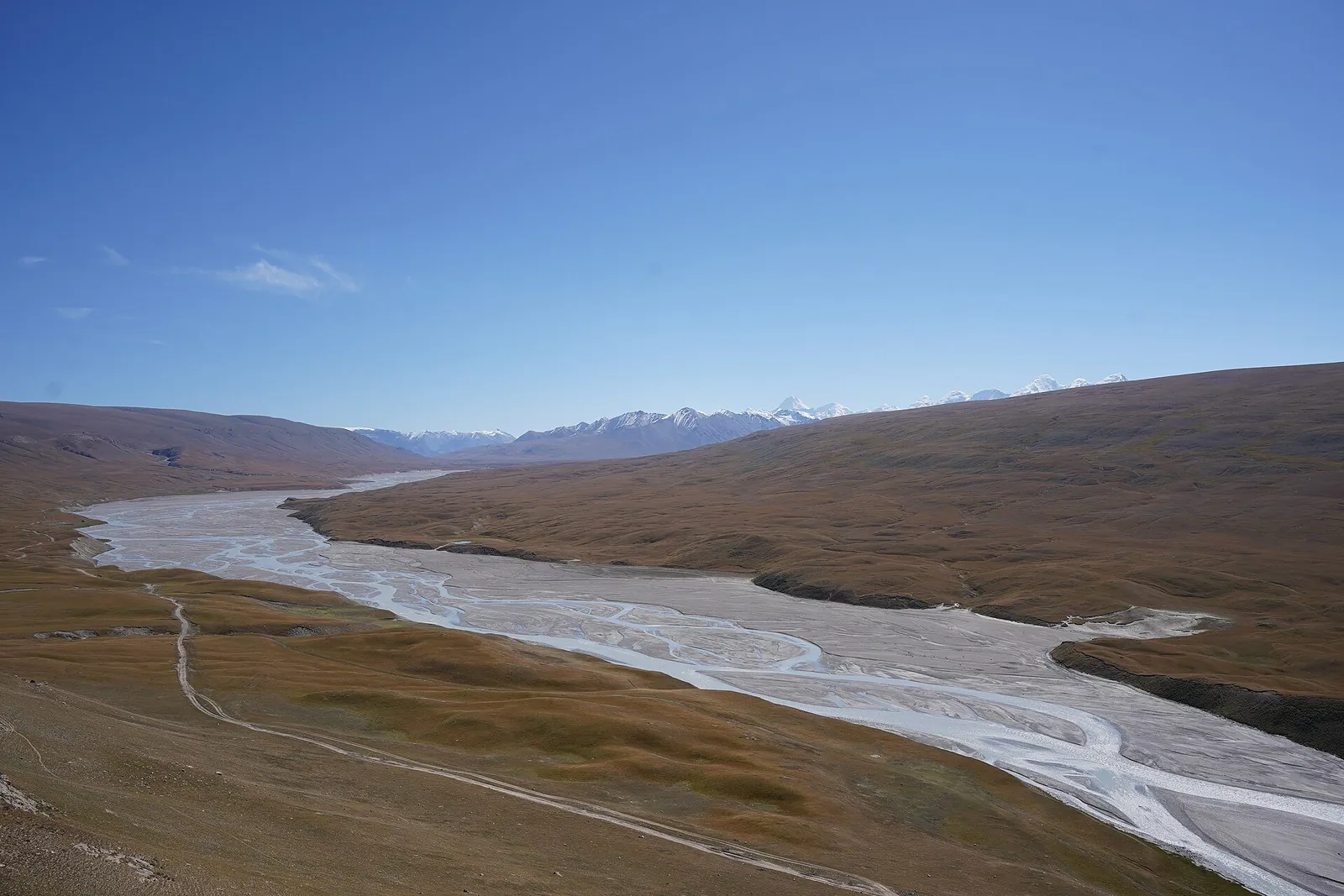
- 2 days, 1 nightTent in Karkara
- ≈52 kmof sections shown on the map
- Transfers and walks
- June–Septemberpossible May–October
- Karakol4WD
In order
7 stages over 2 days
The map shows separate sections, rather than the entire trip. Numbers mark known landmarks; agree exact stops before travelling.
-
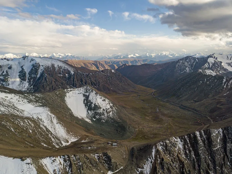 30.08.2019
Day 11 / 7
Chon-Ashuu Pass
Morning departure from Karakol by 4×4, over a high pass into Sary-Jaz valley.
Next: Ak-Chunkur/Echkili-Tash → -
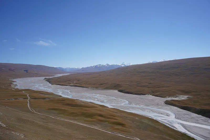 30.08.2023
Day 12 / 7
Ak-Chunkur/Echkili-Tash
Visit Ak-Chunkur cave and take in the views near Echkili-Tash. Ask the trip organiser about access conditions.
Next: Via Turuk to Karkara → -
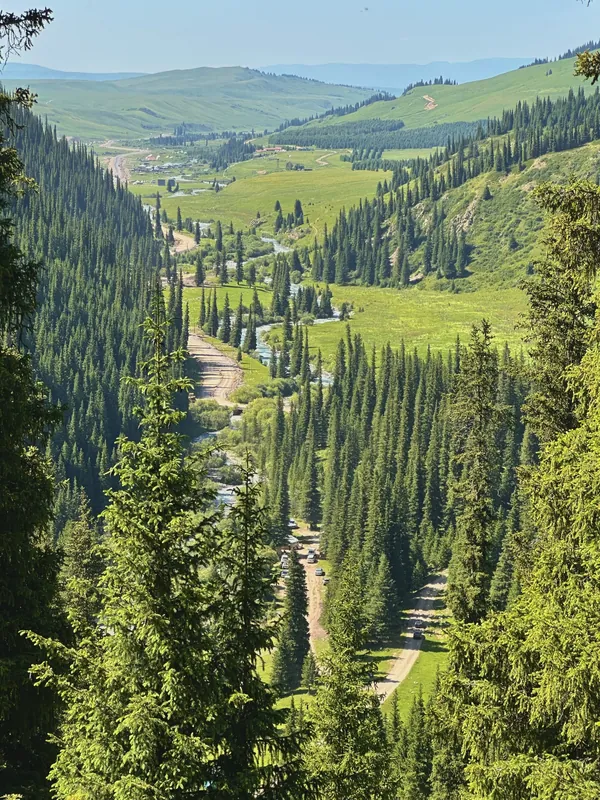 28.06.2025
Day 13 / 7
Via Turuk to Karkara
After lunch, drive over Turuk Pass into Karkara valley.
Next: Night in Karkara → -
 01.08.2021
Day 14 / 7
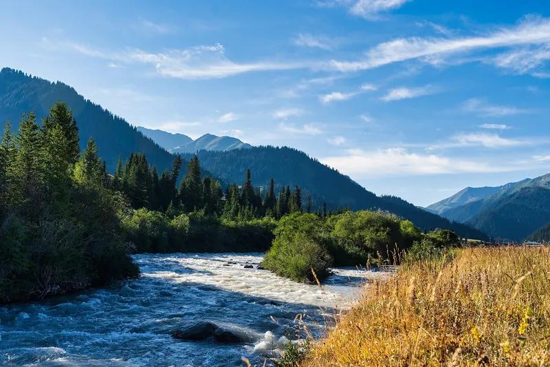
Night in Karkara
An overnight stay in a tent in Karkara valley. Ask the organiser about the camp location and overnight arrangements.
Next: Karkara forest → -
 Based on a photo by Maryliflower, CC BY-SA 4.0, modified
Day 25 / 7
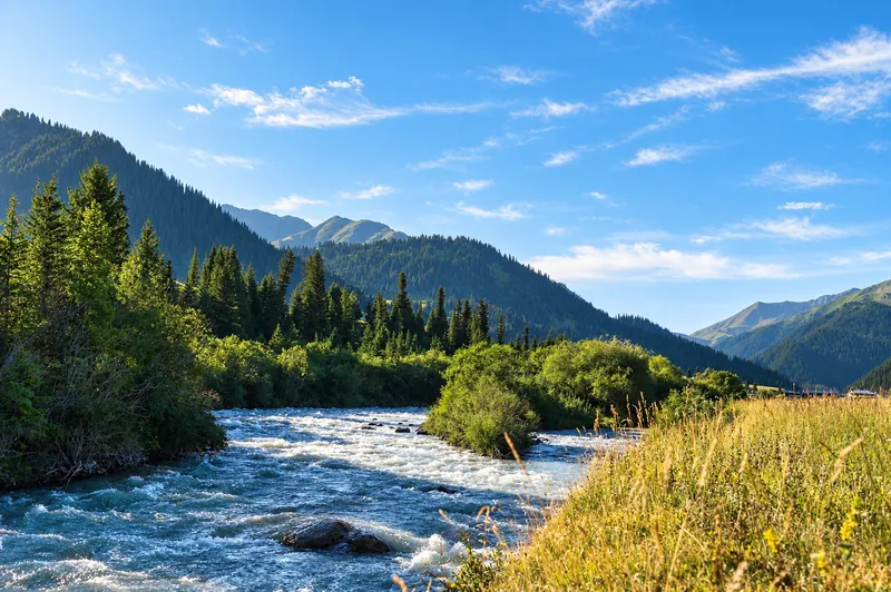
Karkara forest
Morning walk in the forest. Ask the trip organiser about the trail and duration.
Next: San-Tash stones → -
 25.09.2021
Day 26 / 7
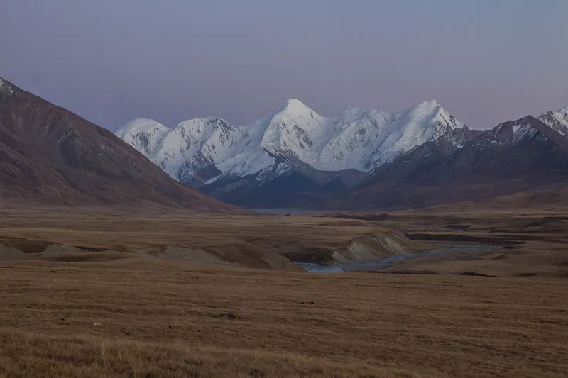
San-Tash stones
After the walk, drive to the stone mound of San-Tash.
Next Return to Karakol → -
 28.04.2023
Day 27 / 7
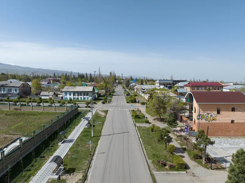
Return to Karakol
Return via Basharin Pass. Ask the trip organiser about the road conditions.
Next: Sary-Jaz valley: four seasons ↓
Seasons
Sary-Jaz valley: four seasons
Season: June–September. Monthly temperatures at the destination: averages for 2016–2025, not a forecast.
-
Based on a photo by Aidar Em, CC BY-SA 4.0, modified Spring
March–May- Marchout of seasonat the destination −2° / −12°
- Aprilout of seasonat the destination +3° / −6°
- Maypossibleat the destination +8° / −2°
-
Summer
June–August- Juneseasonat the destination +12° / +2°
- Julyseasonat the destination +16° / +5°
- Augustseasonat the destination +14° / +4°
-
Autumn
September–November- Septemberseasonat the destination +10° / −1°
- Octoberpossibleat the destination +2° / −9°
- Novemberout of seasonat the destination −4° / −15°
-
Winter
December–February- Decemberout of seasonat the destination −9° / −18°
- Januaryout of seasonat the destination −10° / −19°
- Februaryout of seasonat the destination −7° / −17°
Where it is
- Location
- Issyk-Kul Region
- From the base
- ≈82 km from Karakol as the crow flies
- Elevation
- 2,950 m
- Coordinates
- 42.35° N, 79.37° E
Before you go
Getting there and what to know before you go
How to get there
From Karakol
by 4×4 via Chon-Ashuu PassBy 4×4 via Chon-Ashuu Pass. Ask the trip organiser for the meeting time and place. check for your date
Back to Karakol
Karkara, San-Tash, BasharinVia Karkara, San-Tash and Basharin. Ask the organiser about road conditions and arrival time. check for your date
Money, SIM cards and help
- Cash. Ask the trip organiser about the price and fees.
112all emergencies
What to bring
Ticks are saved in this browser only.
Check before departure
- Weather and road conditions Trip organiser
- Cost and return transport Trip organiser
- Border-zone permit for your chosen stops and citizenship Trip organiser
- Camp location in Karkara
- Access conditions for Ak-Chunkur cave
- Road via Turuk and Basharin
- Meeting time and place
- Prices, border-zone permit and road conditions
All photos
Sary-Jaz valley in photos
Real photos, each with the date it was taken. Tap or click to enlarge.
- 30.08.2019
- 01.08.2021
- 25.09.2021
- 28.04.2023
- 30.08.2023
- 28.06.2025
Nearby
Nearby and where to go next
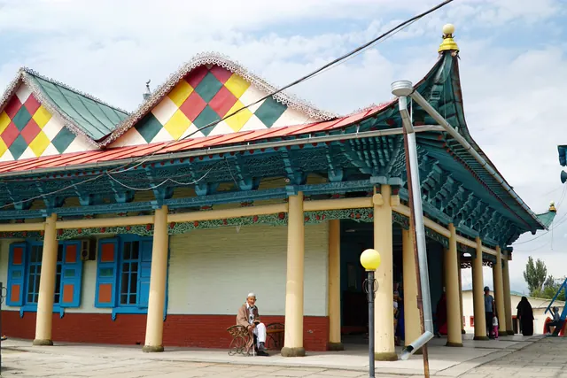 Base · KarakolKarakolA town by the mountains: old centre, accommodation and valley trips
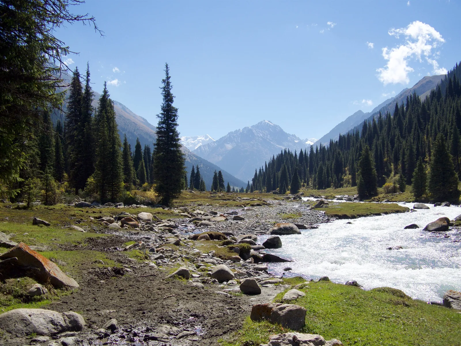 Route · ≈63 km as the crow fliesAltyn-ArashanWalk from Ak-Suu to the valley and hot springs
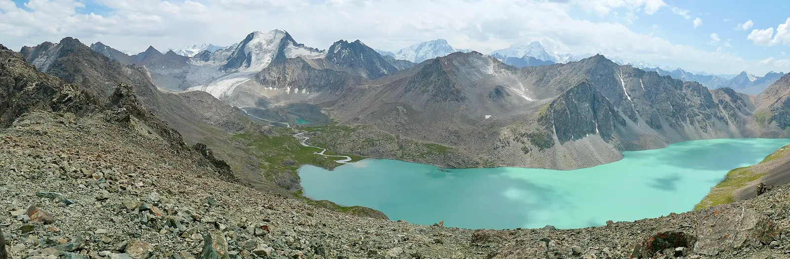 Route · ≈69 km as the crow fliesLake Ala-KolA high mountain lake on a three-day mountain route
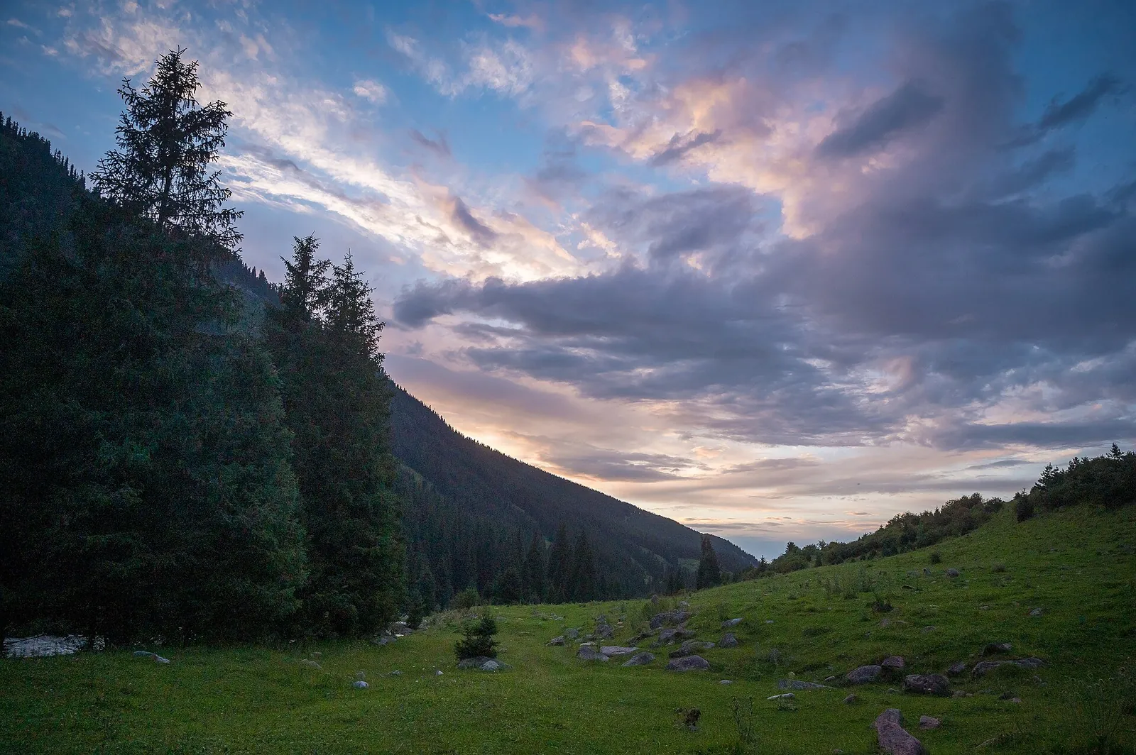 Route · ≈74 km as the crow fliesKarakol GorgeThe forested Karakol River valley in Tian Shan