
Bosteri
A village on Issyk-Kul’s northern shore, near resorts and beaches.
- Walk the streets
- 6 places nearbyCheck conditions before going
- June–SeptemberFor walks; ask about access
- 83 in the area29 within 1.5 km; ask prices
Around
6 places from the centre outwards
Start with places you can walk to, then roads out of town. The map shows the route from the centre to the place you are viewing.
-
 13.06.2022
≈1.3 km on foot1 / 6
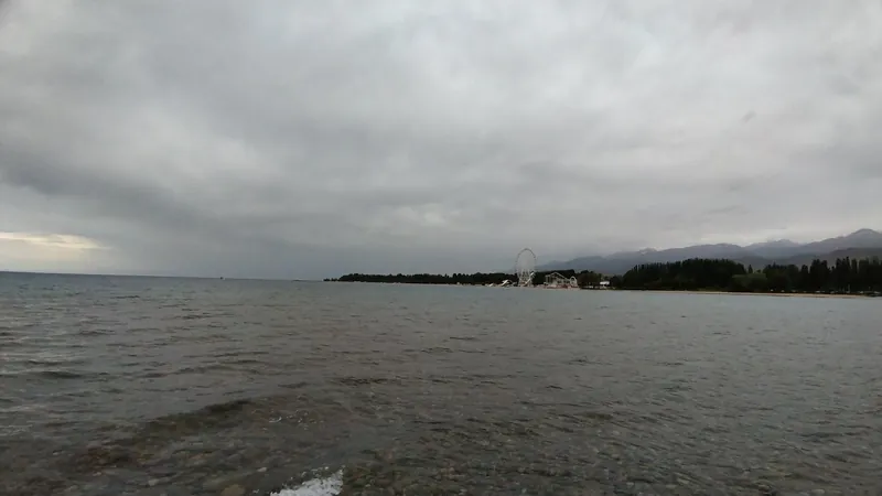
Golden Sands
A lakeside resort. The Ferris wheel is visible from the neighbouring shore; opening times and access: check for your date.
Next Ruh Ordo → -
 03.08.2012
8 km by road2 / 6
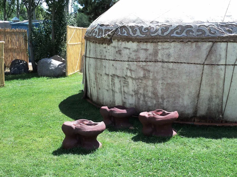
Ruh Ordo cultural centre
A museum park near Issyk-Kul: five chapels, sculptures and the memory of Chinghiz Aitmatov.
Check entry and conditions
Place page →
Next Blue Issyk-Kul → -
 06.07.2017
8 km by road3 / 6
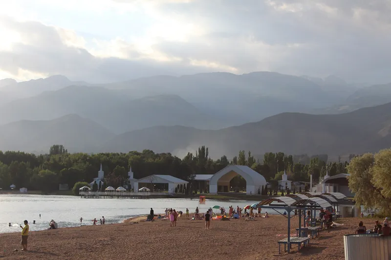
Blue Issyk-Kul
A sandy shore in Cholpon-Ata: a lakeside walk and a view of Ruh Ordo cultural centre across the water.
Ask about entry and conditions
Next Cholpon-Ata petroglyphs → -
 10.10.2014
12 km by road4 / 6
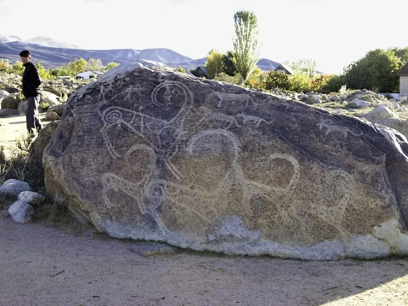
Cholpon-Ata petroglyphs
An open-air museum with animal images and ancient scenes on stone boulders.
Ask about entry and conditions
Next History museum → -
 13.04.2024
8 km by road5 / 6
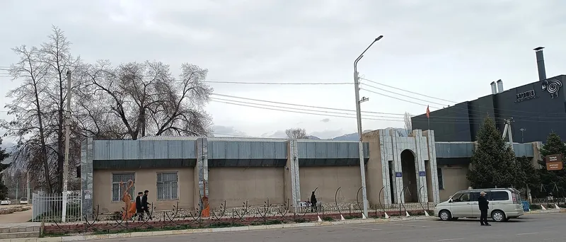
History museum
Cholpon-Ata’s town museum: Issyk-Kul history, traditional textiles, felt and musical instruments.
Ask about entry and conditions
Next Grigoriev Gorge → -
© OpenStreetMap
stage on the map© OpenStreetMap 33 km by road6 / 6
Grigoriev Gorge
Chon Ak-Suu valley near Grigorevka, with spruce-covered slopes; plan the walk around road and weather conditions.
Ask about the final approach
Place page →
Next Bosteri: four seasons ↓
Seasons
Bosteri: four seasons
Things to do in and around town throughout the year. Monthly temperatures are averages for 2016–2025, not a forecast.
-
Based on a photo by Artur Dolchenko, CC BY 4.0, modified Spring
March–MayA seasonal view has not yet been selected; ask about conditions before the trip.
- MarchBosteri +6° / +4°
- AprilBosteri +10° / +7°
- MayBosteri +14° / +11°
-
Summer
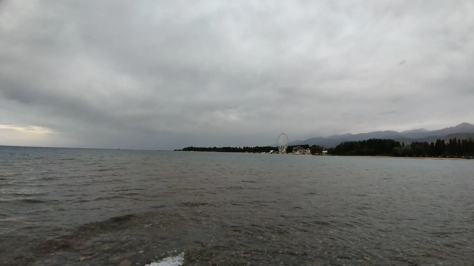
June–AugustJune view from the shore: the lake, clouds and Ferris wheel.
- JuneBosteri +17° / +14°
- JulyBosteri +20° / +17°
- AugustBosteri +19° / +16°
-
Based on a photo by Artur Dolchenko, CC BY 4.0, modified Autumn
September–NovemberA seasonal view has not yet been selected; ask about conditions before the trip.
- SeptemberBosteri +16° / +13°
- OctoberBosteri +11° / +8°
- NovemberBosteri +7° / +4°
-
Based on a photo by Artur Dolchenko, CC BY 4.0, modified Winter
December–FebruaryA seasonal view has not yet been selected; ask about conditions before the trip.
- DecemberBosteri +3° / +1°
- JanuaryBosteri +2° / 0°
- FebruaryBosteri +3° / +1°
Getting there
Getting here and getting around town
How to get there
From Bishkek
Along the northern shore via Balykchy. Departure point, time and fare: check for your date.
From Cholpon-Ata
Along the northern shore. Departure point, time and fare: check for your date.
Getting around town
- Apps. Ask about app availability before the trip.
Money, SIM cards and help
- Accommodation. Ask about accommodation prices when booking.
- Visitor centre. A tourist information centre has not yet been identified.
112all emergencies
Check in advance
- Transport timetable
- Accommodation prices and card acceptance
- Shore access conditions
- Mobile network coverage
Check on site
- Departure, journey time and fare Driver or dispatcher
- Accommodation price and payment method Your chosen accommodation
- Entrances, fees, final approach to the gorge and road conditions Visit location and driver
Accommodation
Where to stay: 29 of 83 places are within 1.5 km of the centre
How many places
- Within 1.5 km from the centre
- 29 of 83
All photos
Bosteri in photos
Real photos, each with the date it was taken. Tap or click to enlarge.
- 19.07.2023
- 10.10.2014
- 06.07.2017
- 04.07.2019
- 13.06.2022
- 14.06.2022
- 13.04.2024
- 03.08.2012
Nearby
Nearby and where to go next
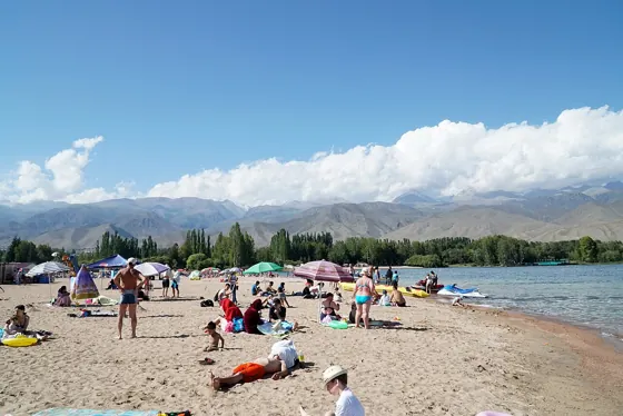 Base · ≈8.6 km as the crow fliesCholpon-AtaA summer base beside Issyk-Kul: the town’s shore and trips to Semenov Gorge and Kyrchyn.
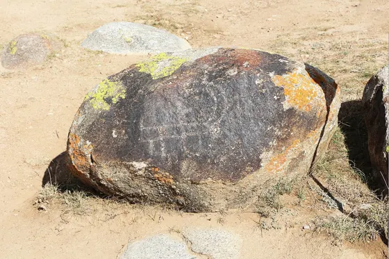 Cultural site · ≈11 km as the crow fliesCholpon-Ata petroglyphsAncient animals and hunting scenes on boulders at the foot of the mountains.
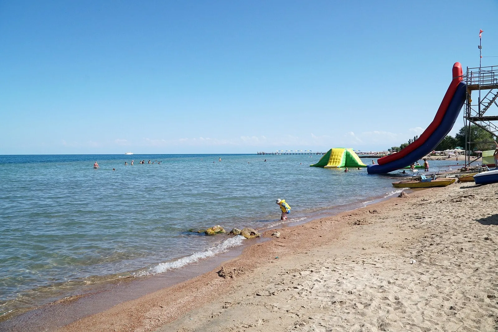 Route · ≈6.9 km as the crow flies“Goluboy Issyk-Kul” beachA walk through tree-lined avenues to a sandy shore