




San-Tash: Tamerlane's stones
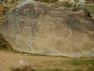
A mound of “counting stones” by the Kegen road, tied to a tale of Tamerlane’s army.
- 6th–3rd c. BCper the mound’s description
- About 4 m53 × 50 m at the base
- July +21°, January −4°daytime
- San-TashKarakol ≈89 km
Kyrgyz SeasonsPlanning a trip?Ask about a triphello@kyrgyzseasons.com
History by date
- BCA chief’s mound
The mound’s description calls it the grave of a tribal chief of the 6th–3rd centuries BC; traces of ancient looting are visible.
- 1856The legend recorded
Chokan Valikhanov recorded the tale of how Tamerlane’s warriors counted themselves with stones.
- 2002A protected monument
The San-Tash burial ground was entered on the state list of monuments.
Where it is
- Address
- San-Tash village, Tyup District, 500 m off Tyup–Kegen road
- From the base
- ≈57 km as the crow flies · Karakol
- Coordinates
- 42.747° N, 78.996° E
Opening times and etiquette
Hours and prices
- Opening hours
- outdoors
The mound stands in a field by the road; no visiting hours are published.
Etiquette
- Boulders. Don’t move or take the stones: the mound is a protected monument.
Check on site
- The road and weather on the pass with the driver
Contact and help
112 single emergency number
- 101 fire and rescue
- 102 police
- 103 ambulance
You can call 112 with a local SIM or without one.
Kyrgyz SeasonsPlanning a trip?Ask about a triphello@kyrgyzseasons.com
Nearby and where to go next
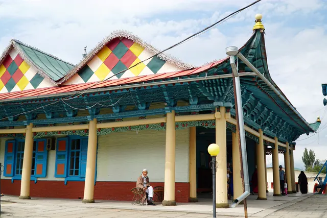 Base · KarakolKarakolA town by the mountains: old centre, accommodation and valley trips
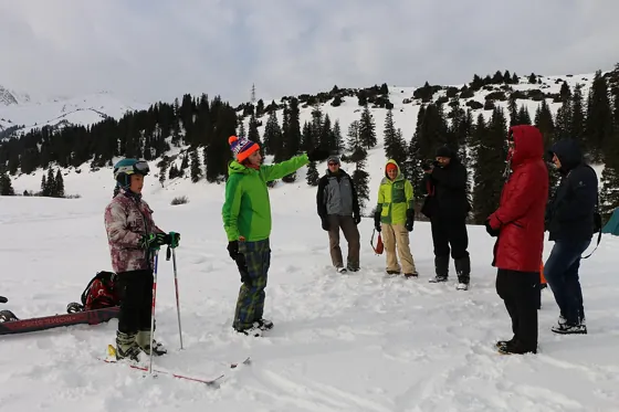 Base · ≈15 km as the crow fliesJyrgalanA mountain village for summer hikes and off-piste skiing in winter; you get there via Karakol.
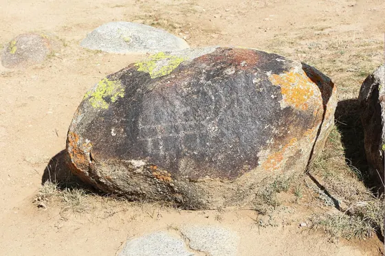 Cultural site · ≈159 km as the crow fliesCholpon-Ata petroglyphsAncient animals and hunting scenes on boulders at the foot of the mountains.
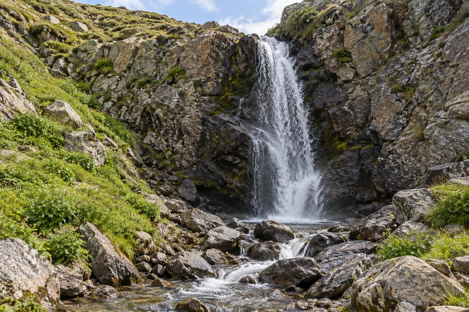 Route · ≈17 km as the crow fliesKok-Bel WaterfallA day walk from Jyrgalan to the 20-metre Kok-Bel Waterfall
- Route · ≈30 km as the crow fliesLake AilampaA three-day loop from Jyrgalan to the Ailampa Lakes by the glacier