

Ala-Archa: valley walks and mountain trails
Updated How we check facts
From the park entrance to Ak-Say waterfall and Ratsek hut
Place: Ala-Archa
- Walks, treks, mountaineeringPreparation varies by goal
- Ala-Archa park entrance
- BishkekStart
In order
6 stages in one day
The map shows separate sections, rather than the entire trip. Numbers mark known landmarks; agree exact stops before travelling.
-
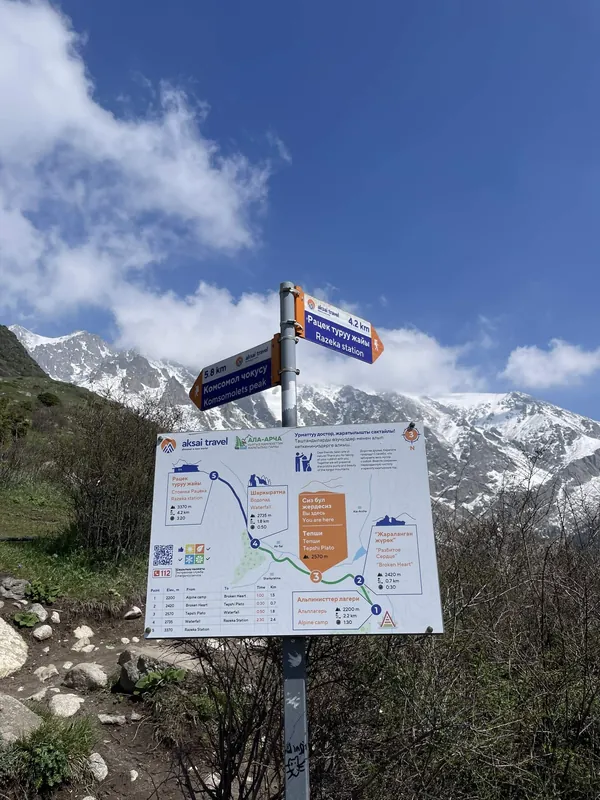 23.05.2026
Visit option1 / 6
Park entrance
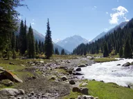
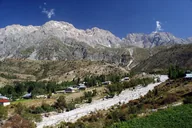
The road climbs up the valley from the entrance. Before travelling, check which transport is operating inside the park.
Next End of vehicle road → -
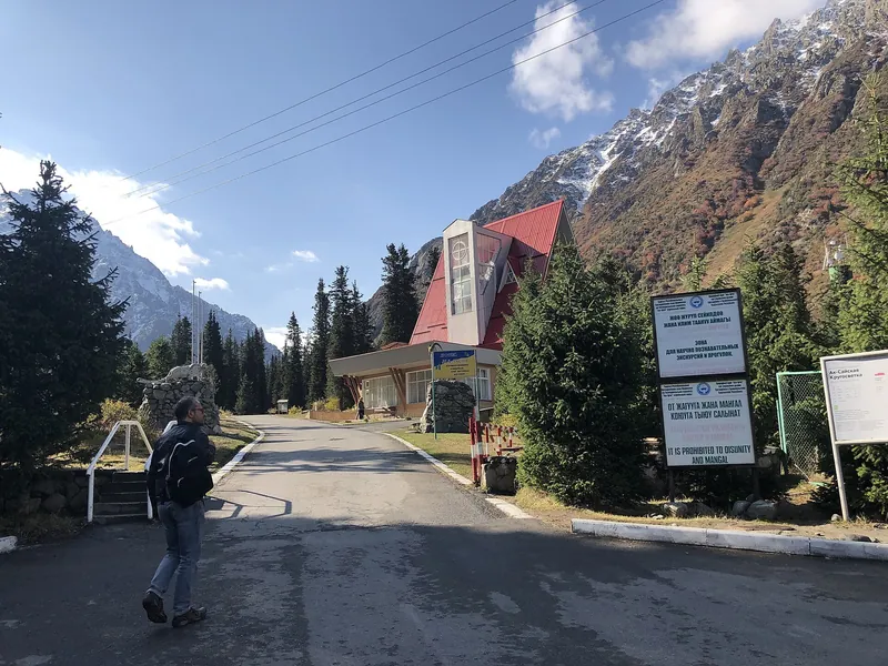 17.09.2019
Visit option2 / 6
End of vehicle road
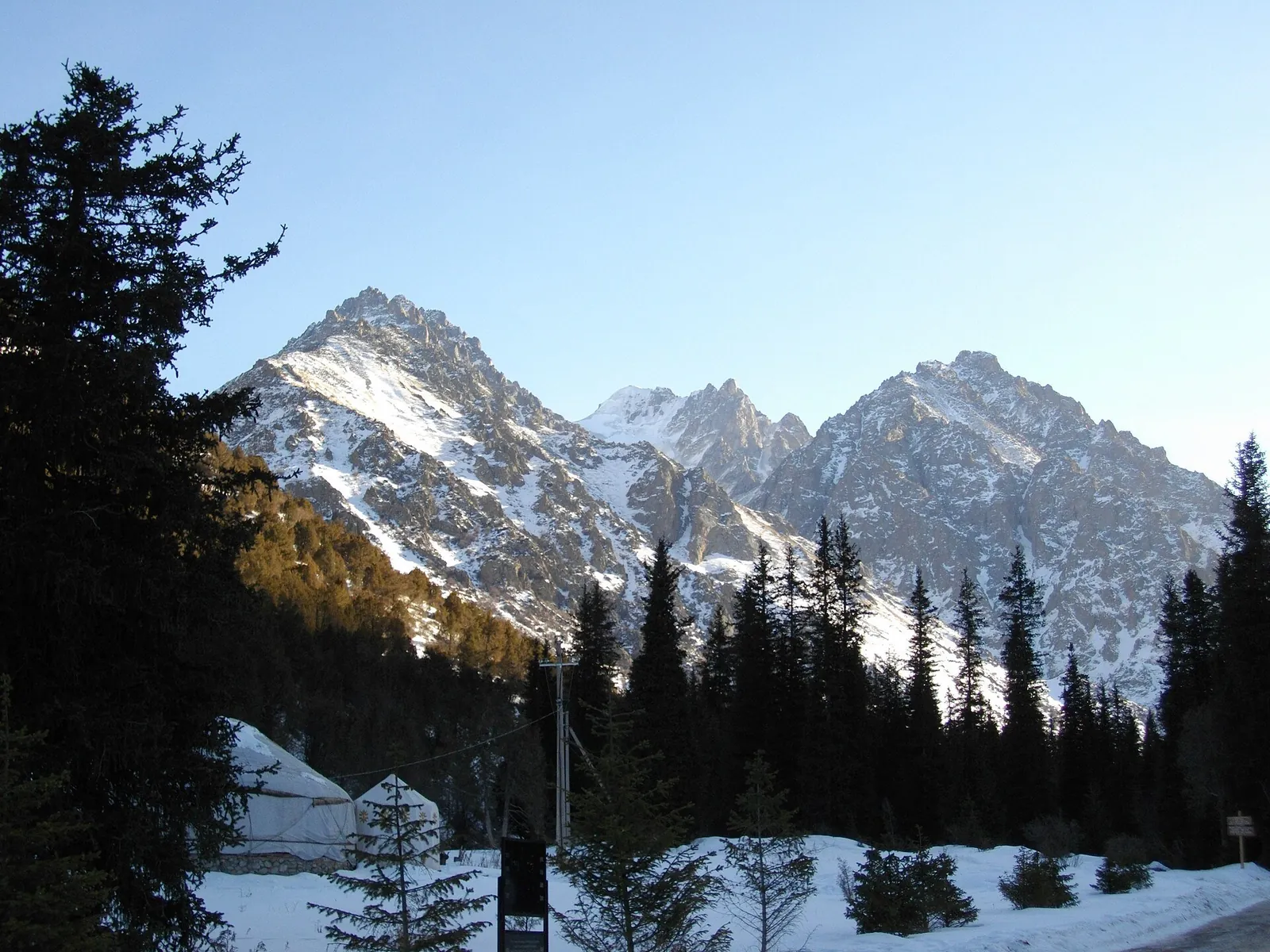
The drive ends at the upper barrier; beyond it, you continue on foot along the valley and mountain trails.
Next Broken Heart → -
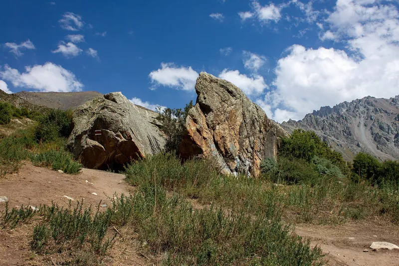 25.08.2023
Visit option3 / 6
Broken Heart rock
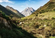
From the road’s end, the trail climbs to the viewpoint at Broken Heart rock. Check the turns and trail conditions on site.
Next Ak-Say Waterfall → -
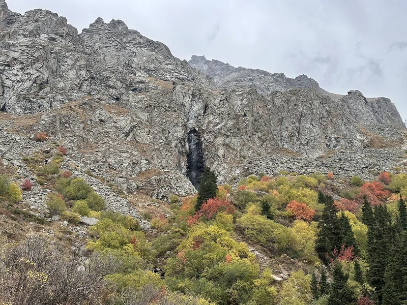 17.09.2023
Visit option4 / 6
Ak-Say Waterfall
The trail then crosses the Tepshi plateau to Ak-Say Waterfall. Allow a separate day for this walk.
Next Ratsek Hut → -
 27.04.2024
Visit option5 / 6
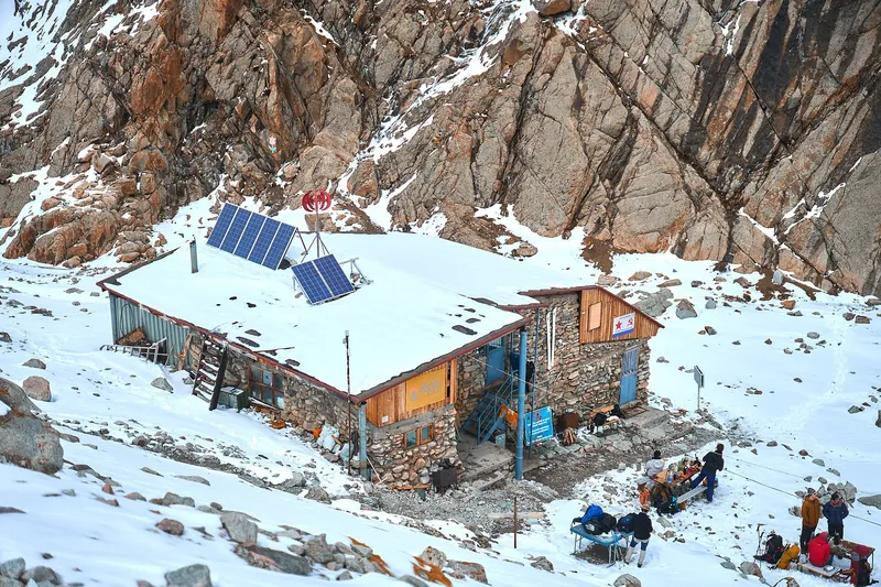
Ratsek Hut
Beyond the waterfall, the climb to Ratsek Hut begins. Plan overnight stays and further mountaineering trips separately.
Next Lake Adygene → -
 05.07.2026
Visit option6 / 6
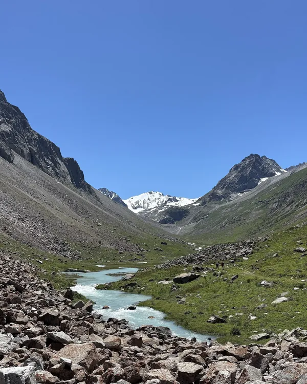
Lake Adygene
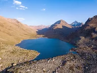
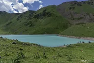
Another trail from the lower valley leads to Lake Adygene; do not combine it with the waterfall route in one walk.
Next Ala-Archa: four seasons ↓
Seasons
Ala-Archa: four seasons
Monthly temperatures at the destination: averages for 2016–2025, not a forecast.
-
Spring
March–May- Marchat the destination +3° / −4°
- Aprilat the destination +8° / +1°
- Mayat the destination +13° / +5°
-
Summer
June–August- Juneat the destination +17° / +9°
- Julyat the destination +20° / +12°
- Augustat the destination +18° / +10°
-
Autumn
September–November- Septemberat the destination +14° / +7°
- Octoberat the destination +7° / −1°
- Novemberat the destination 0° / −6°
-
Winter
December–February- Decemberat the destination −3° / −9°
- Januaryat the destination −4° / −10°
- Februaryat the destination −2° / −9°
Where it is
- Location
- Chuy Region
- From the base
- ≈38 km from Bishkek as the crow flies
- Coordinates
- 42.54° N, 74.49° E
Included in these guides
Before you go
Getting there and what to know before you go
How to get there
From Bishkek
Bus no. 1, 40–50 somBoard at Old Square. Bus no. 1 runs to the park 8:00–19:00 every 20–30 min; fares: 40 som by card, 50 in cash. check for your date
Back
Bus no. 1 until 19:00Take the same bus from the park terminus, every 20–30 minutes. Leave before 19:00. check for your date
Admission
Entrance ticket officePay admission and vehicle entry fees at the park entrance ticket office. check for your date
Money, SIM cards and help
- Cash. Check current admission and service fees before travelling.
What to bring
Ticks are saved in this browser only.
Check before departure
- Admission, vehicle entry fees and ticket office hours At the entrance ticket office
- Whether your trail is open and the exact time of the last bus Ask a local guide
- Opening hours and admission fee
- Vehicle rules
- Permit for your chosen route
- Where the road ends and how to continue
- Arrangements at your chosen camp or overnight stop
Keep planning
Guides and ready-made itineraries
Pages that include this place in a guide or itinerary.
All photos
Ala-Archa in photos
Real photos, each with the date it was taken. Tap or click to enlarge.
- 25.01.2009
- 17.09.2019
- 25.08.2023
- 17.09.2023
- 27.04.2024
- 01.09.2025
- 23.05.2026
- 23.05.2026
- 05.07.2026
- 05.07.2026
Nearby
Nearby and where to go next
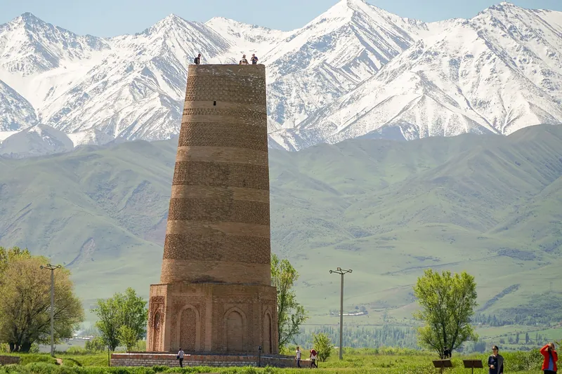 GuideDay trips from Bishkek without a carAla-Archa, Burana, Tokmok and Kant: buses and marshrutkas (fixed-route minibuses), prices and months to visit.
- Base · BishkekBishkekA city base for museums, squares and a walk through the market.
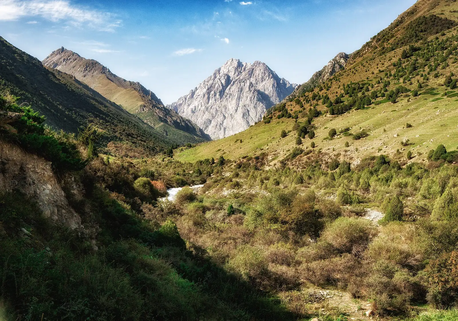 Route · ≈19 km as the crow fliesChunkurchak — Issyk-AtaTwo waterfalls in the foothills in a day from Bishkek
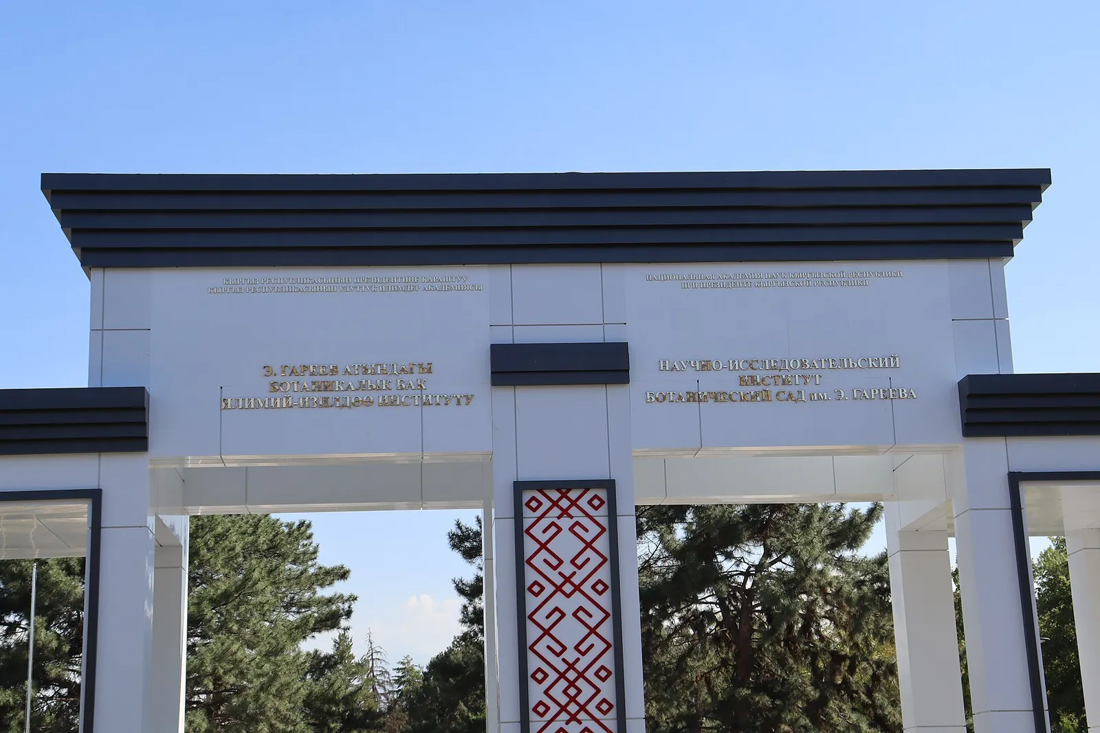 Cultural site · ≈34 km along straight lineBishkek Botanical GardenA botanical garden with collections of trees and flowering plants.