
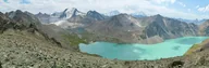
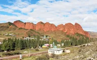
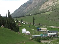
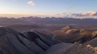
Karakol → On-Tor glacier viewpoint, 2 days
Updated How we check facts
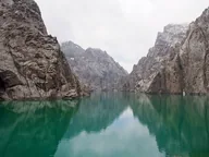
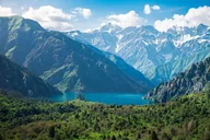
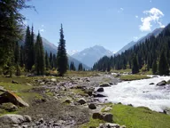
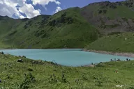
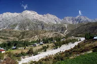
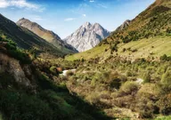
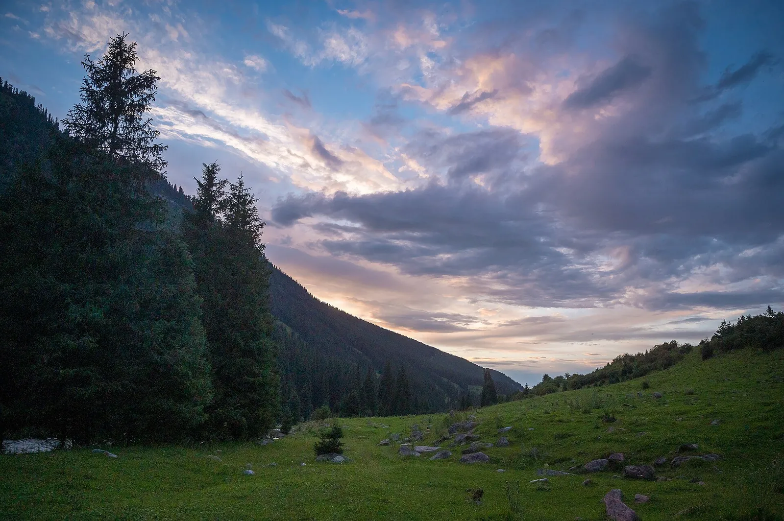
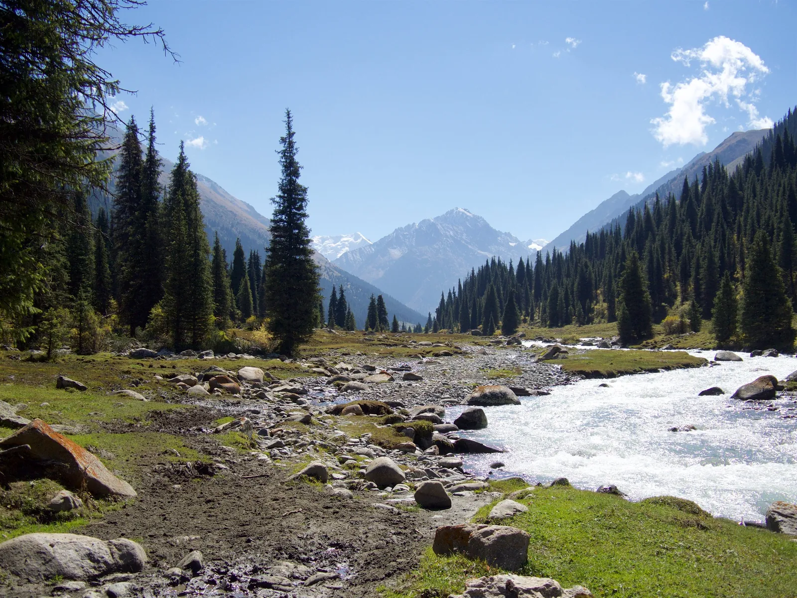
The forested Karakol River valley in Tian Shan
Place: Karakol Gorge
- 2 days, 1 nightNight in the mountains
- ModerateOvernight at about 3,500 m
- June–Septemberseason
- KarakolTransfer to walking section: 3–4 h
- KarakolStart
In order
5 stages over 2 days
The map shows separate sections, rather than the entire trip. Numbers mark known landmarks; agree exact stops before travelling.
-
 25.07.2024
Day 11 / 5
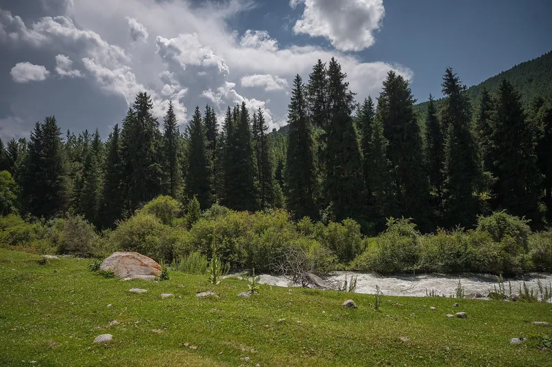
Drive through the gorge
Transport from Karakol through the national park to the start of the walking section.
Next: Walk to the camp → -
 20.05.2024
Day 12 / 5
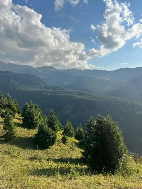
Walk to the camp
After preparing the equipment, walk to the overnight camp.
Next: Night in the mountains → -
 25.07.2024
Night 13 / 5
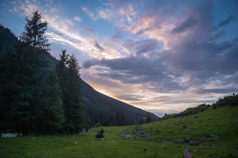
Night in the mountains
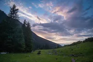
Camp at an altitude of about 3,500 m.
Next: On-Tor glacier view → -
 10.07.2012
Day 24 / 5
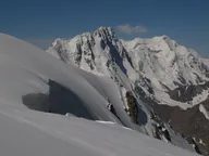
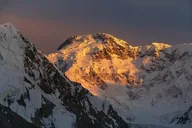
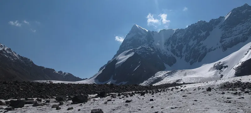
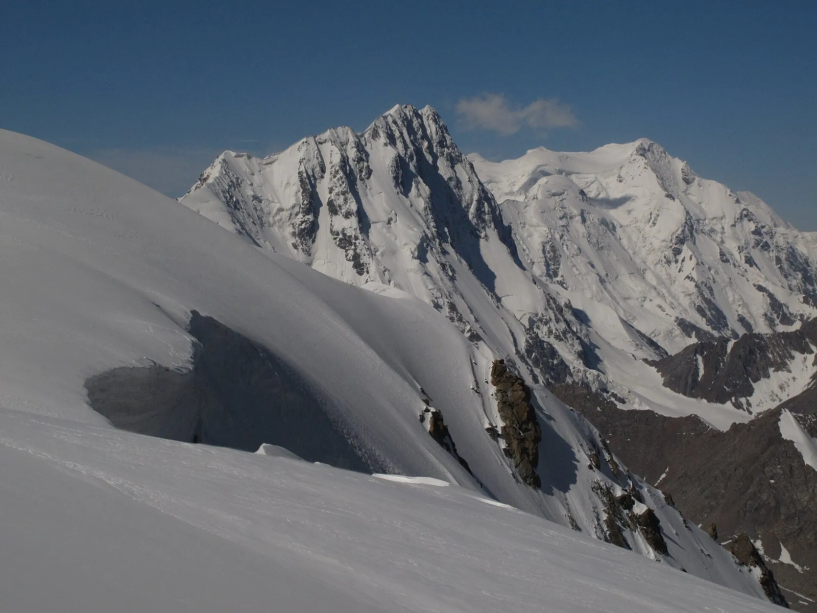
On-Tor glacier view
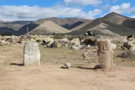
After breakfast, walk to a view of the glacier, then return to the park.
Next: Return to Karakol → -
 28.04.2023
Day 25 / 5
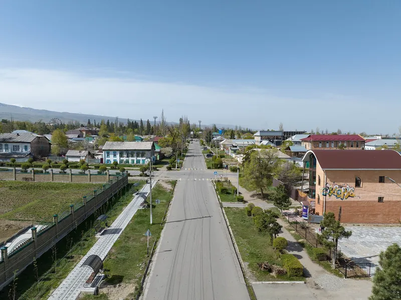
Return to Karakol
After the walk, transfer back to town.
Next: Karakol Gorge: four seasons ↓
Seasons
Karakol Gorge: four seasons
Season: June–September. Monthly temperatures at the destination: averages for 2016–2025, not a forecast.
-
Spring
March–May- Marchout of seasonat the destination −1° / −10°
- Aprilout of seasonat the destination +4° / −5°
- Mayout of seasonat the destination +9° / −1°
-
Summer
June–August- Juneseasonat the destination +13° / +3°
- Julyseasonat the destination +16° / +6°
- Augustseasonat the destination +14° / +5°
-
Autumn
September–November- Septemberseasonat the destination +11° / +1°
- Octoberout of seasonat the destination +3° / −7°
- Novemberout of seasonat the destination −4° / −13°
-
Based on a photo by Canikissou, CC BY-SA 4.0, modified Winter
December–February- Decemberout of seasonat the destination −8° / −16°
- Januaryout of seasonat the destination −9° / −17°
- Februaryout of seasonat the destination −6° / −15°
Where it is
- Location
- Issyk-Kul Region
- From the base
- ≈20 km from Karakol as the crow flies
- Elevation
- 2,540 m
- Coordinates
- 42.32° N, 78.47° E
Included in these guides
Before you go
Getting there and what to know before you go
How to get there
From Karakol
Drive: 3–4 hThrough the national park to the start of the walk. Agree transport and the drop-off point beforehand. check for your date
To the camp
Walk: 2–3 hOvernight in the mountains at about 3,500 m. Confirm the tent, sleeping bag and meals before leaving.
Return
To KarakolAfter walking to the glacier view, descend and take transport to town. Agree the meeting time and place beforehand.
Money, SIM cards and help
- Cash. Keep cash as a backup; check the fee and payment method for your date.
- Prices. For foreign visitors, the national park fee is roughly 300 som per person. Check the tariff and how to pay for your date; bring cash.
112all emergencies
What to bring
Ticks are saved in this browser only.
Check before departure
- Transport, camp and return meeting Local guide
- Snow, water, bridges and trail visibility Local guide
- Tent, sleeping bag, meals and fees Trip organiser
- Exact mountain camp location
- Trail and crossing conditions
- Duration of the second day’s out-and-back walk
- Current prices and fees
- Reliability of reception in the upper valley
Keep planning
Guides and ready-made itineraries
Pages that include this place in a guide or itinerary.
All photos
Karakol Gorge in photos
Real photos, each with the date it was taken. Tap or click to enlarge.
- 10.07.2012
- 28.04.2023
- 20.05.2024
- 25.07.2024
- 25.07.2024
Nearby
Nearby and where to go next
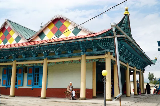 Base · KarakolKarakolA town by the mountains: old centre, accommodation and valley trips
- Cultural site · ≈20 km as the crow fliesKarakol History MuseumThe history of Issyk-Kul in a merchant’s house: archaeology, crafts and nomadic life.
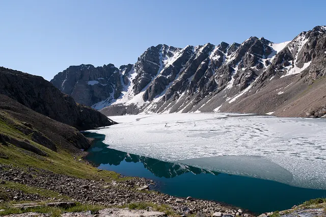 Route · ≈4.2 km as the crow fliesLake Ala-KolA high mountain lake on a three-day mountain route
 Route · ≈13 km as the crow fliesAltyn-ArashanWalk from Ak-Suu to the valley and hot springs
 Route · ≈16 km as the crow fliesKarakol Peak: to the foot of the peakFour days to the foot of the peak, Lake Ala-Kol and Altyn-Arashan