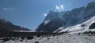
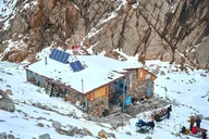
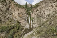
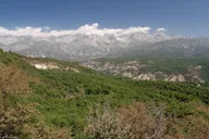
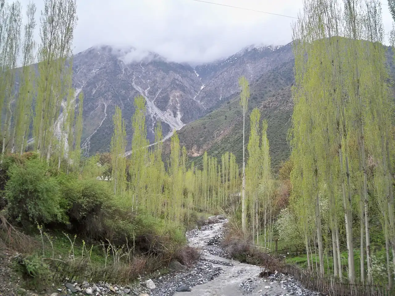
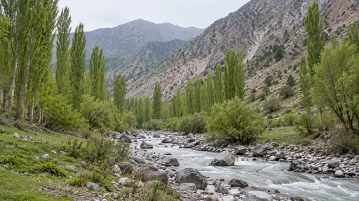
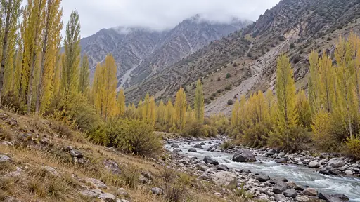
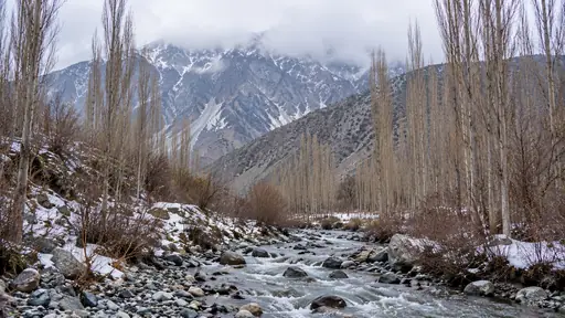
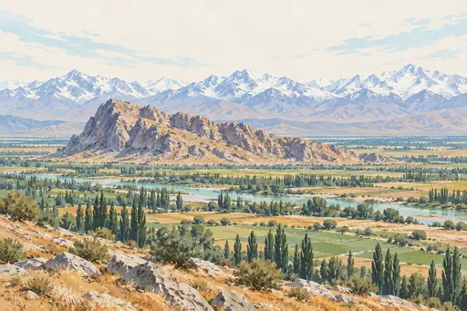
A mountain stream in a stony bed between tall poplars, with rocky peaks in the clouds beyond
Ozgorush

Ozgorush

Updated How we check facts

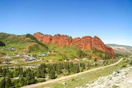
A mountain village in the west of Batken Region: a guesthouse and the start of hikes into the mountains.

  • Batken ≈110 kmAbout 1.8 h by car
  • River and footbridgePoplar-lined streets
  • 6 places nearby60 to 108 km away
  • 4 places to stay2 within 1.5 km of the centre
Kyrgyz SeasonsPlanning a trip?Ask about a triphello@kyrgyzseasons.com

6 places from the centre outwards

Start with places you can walk to, then roads out of town. The map shows the route from the centre to the place you are viewing.

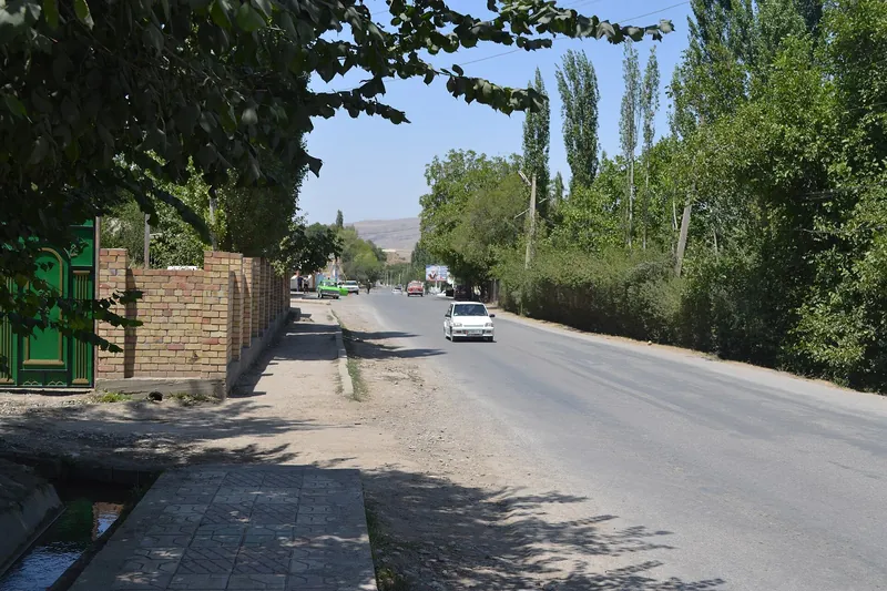
  1. A street in Isfana in summer: asphalt, a brick fence with green gates, poplars and an irrigation ditch along the road.July 22, 2011

    ≈60 km along the road1 / 6

    Razzakov

    By car, about 60 kmAll year round

    A small town in the west of the region, called Isfana until 2022: streets with poplars and irrigation channels, a bazaar and an airport with flights to Bishkek.

    Place page →

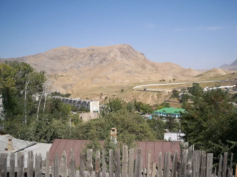
  2. Dry yellow mountains above the town of Sulukta: a five-storey building, green roofs and trees among the slopes.September 5, 2012

    ≈76 km along the road2 / 6

    Sulukta

    By car, about 76 kmAll year round

    A mining town, one of the country’s largest coal-mining centres. Dry yellow hills surround it.

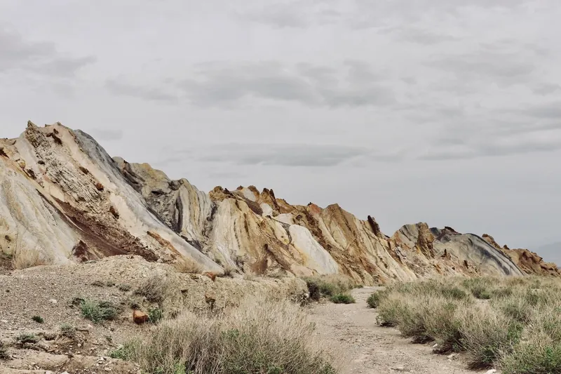
  3. Pale tilted rock layers of Madygen above a sandy path and low bushes under a cloudy sky.May 12, 2024

    ≈78 km along the road3 / 6

    Madygen, Sary-Too hills

    By car, about 78 kmDuring the day

    A geopark of multicoloured layered mountains. Part of the area is protected: check the visiting rules in advance. Nearby Aygul-Tash is closed until 1 March 2030.

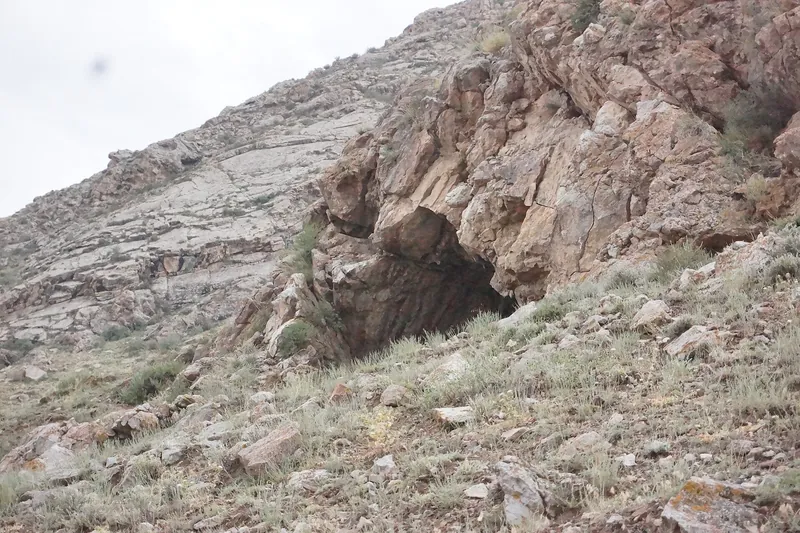
  4. The dark mouth of Kan-i-Gut among pale rocks, with stones and a flowering bush in front.June 7, 2025

    ≈88 km along the road4 / 6

    Kan-i-Gut Cave

    By car, about 88 kmDuring the day

    An ancient cave mine: a dark entrance among pale rocks. Ask local guides in advance about visiting conditions and a safe way in.

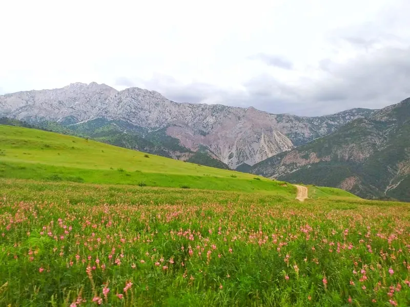
  5. A pink flowering meadow on a slope, with a grey rocky ridge under the clouds behind it.June 2, 2025

    ≈102 km along the road5 / 6

    Sarkent Nature Park

    By car, about 102 kmMay–June

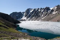
    A park on the Turkestan Range since 2009, almost 40,000 ha. It holds Ay-Kol Lake at about 3,000 m; the best view is from the Kara-Buka Pass, a 2–3 h climb.

  6. ≈108 km along the road6 / 6

    Batken

    By car, about 108 kmAll year round

    The centre of Batken Region: a mosque, a monument and a bazaar in the centre, plus hotels; trips to the Tortkul Reservoir start here.

    Place page →

Map

Ozgorush: four seasons

Things to do in and around town throughout the year. Monthly temperatures are averages for 2016–2025, not a forecast.

  1. April 21, 2017

    Spring

    March–May

    In April the poplars turn green while snow still lies in the mountains. By day from +9 °C in March to +20 °C in May, at night from 0 to +8 °C.

    • MarchOzgorush +9° / 0°
    • AprilOzgorush +15° / +3°
    • MayOzgorush +20° / +8°
  2. Summer

    June–August

    Days +24…+27 °C, nights +12…+15 °C.

    • JuneOzgorush +24° / +12°
    • JulyOzgorush +27° / +15°
    • AugustOzgorush +25° / +15°
  3. Autumn

    September–November

    Days from +22 °C in September to +8 °C in November, nights from +11 to −3 °C.

    • SeptemberOzgorush +22° / +11°
    • OctoberOzgorush +14° / +3°
    • NovemberOzgorush +8° / −3°
  4. Winter

    December–February

    Days around +2…+4 °C, nights down to −6 °C.

    • DecemberOzgorush +4° / −4°
    • JanuaryOzgorush +2° / −5°
    • FebruaryOzgorush +4° / −4°

Where it is

Location
Batken Region
Coordinates
39.76° N, 70.05° E
Open in Maps

Getting here and getting around town

How to get there

  • From Batken

    ≈1.8 h

    About 110 km west by road. A car with a driver is more reliable.

  • From Osh

    about 7 h

    About 300 km; trekking programmes drive guests from Osh. Check minibuses for your date.

  • From Bishkek

    by plane

    There are flights from Bishkek to Razzakov; from there it is about 60 km by car. Check the schedule with the airline.

Getting around town

  • On foot. Walk around the village and down to the river; Razzakov, Batken and Madygen need a car.

Contact and help

112 single emergency number

  • 101 fire and rescue
  • 102 police
  • 103 ambulance

You can call 112 with a local SIM or without one.

Check in advance

  • Transport timetable
  • Whether the guesthouse is open, and prices
  • Mobile network coverage

Check on site

  • Road conditions and transport back At your accommodation
  • Price and availability Accommodation host

Where to stay: 2 of 4 places are within 1.5 km of the centre

1 km1.5 km centre
guesthousehostelhotelother© OpenStreetMap

How many places

4 on the map

1 guesthouse1 hotel2 other

Within 1.5 km from the centre
2 of 4

Ozgorush in photos

Real photos, each with the date it was taken. Tap or click to enlarge.

  1. April 21, 2017
  2. April 21, 2017
  3. April 21, 2017
  4. April 21, 2017
  5. April 21, 2017
  6. May 12, 2024
  7. July 22, 2011
  8. September 5, 2012
  9. June 2, 2025
  10. June 7, 2025
Kyrgyz SeasonsPlanning a trip?Ask about a triphello@kyrgyzseasons.com

Ask about a trip

Tell us what you would like to know. We reply by email or WhatsApp, usually within a day.

Or write to us at hello@kyrgyzseasons.com