
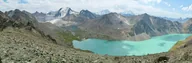
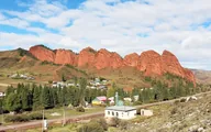
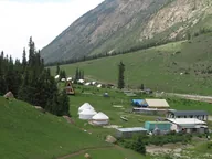
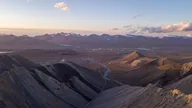
Engilchek — the ghost town
Updated How we check facts
An abandoned mining town at 2,500 m, with a village living beside its ruins.
- 1980–1989Built for a mining plant
- Permit requiredFrom 3,000 som, 5–7 days
- Best with a night4–5 hours from Karakol
- Sary-Jaz valley≈150 km from Karakol
What to see
5 stops in visiting order
The list on the left follows the chapters as you scroll. Tap a photo to enlarge it.
-
 22.09.2016
outside1 / 5
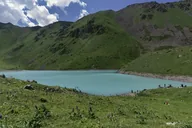
The village from above
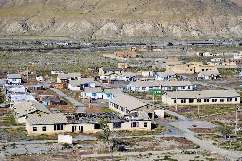
Low houses and long barracks stand on a stony plain. One building has lost its roof.
Next The valley and the road → -
 22.09.2016
outside2 / 5
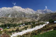
The valley and the road
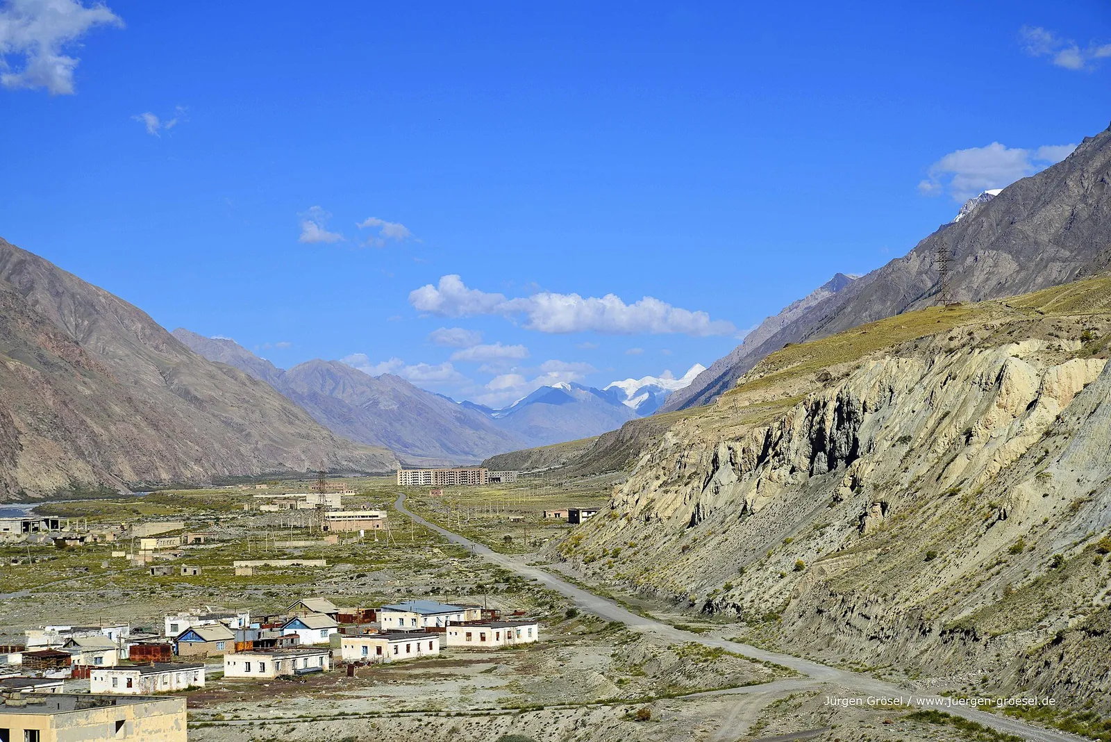
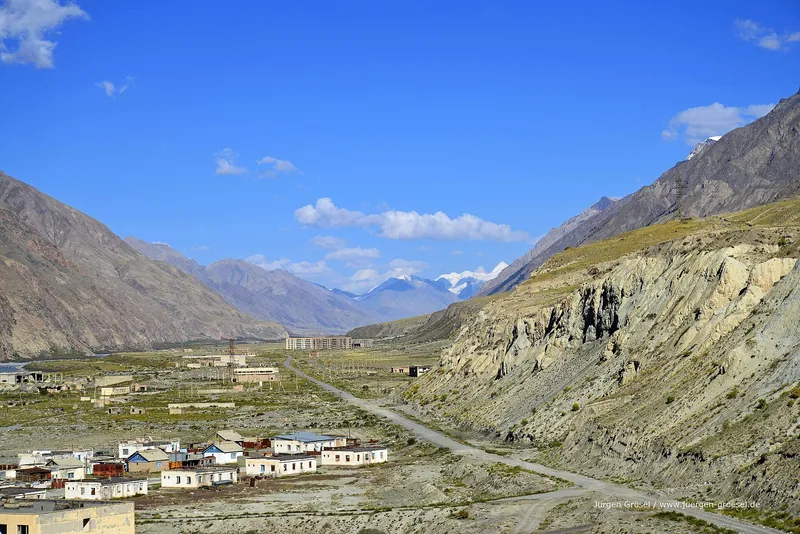
The road runs along a wide valley toward distant five-storey blocks. Occupied houses stand on the left, a high pale bluff on the right.
Next The glacier valley → -
 07.08.2017
outside3 / 5
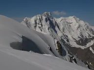
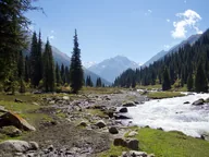
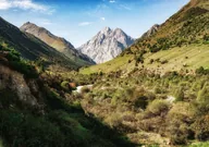
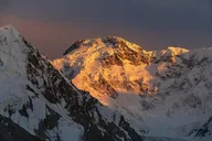
The glacier valley
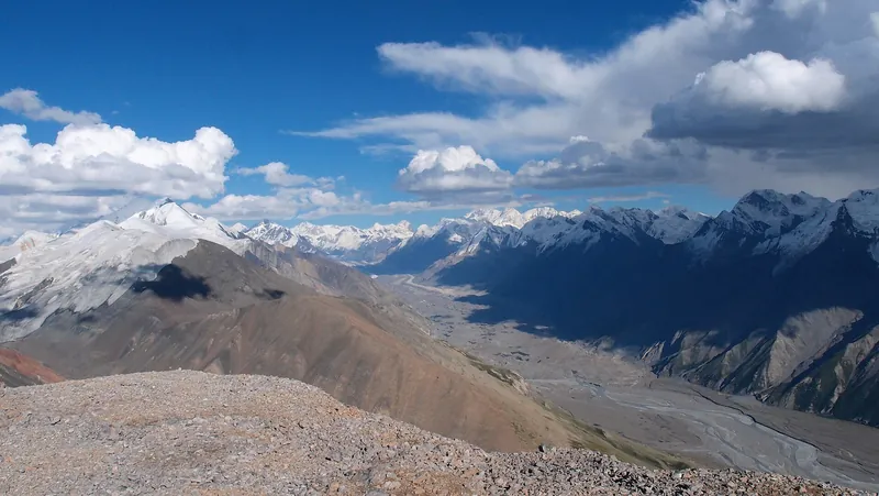
From the ridge you can see a grey valley with a river bed and snowy ranges around the glacier.
Next A boulder by the river → -
 22.09.2016
outside4 / 5
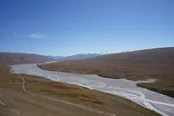
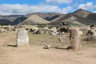
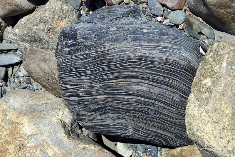
A boulder by the river
A dark layered boulder lies among river pebbles on the valley floor.
Next Boulder in sea buckthorn → -
 22.09.2016
outside5 / 5
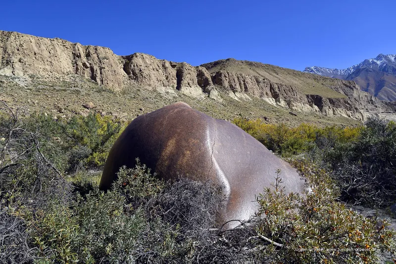
Boulder in sea buckthorn
A brown boulder hides in sea buckthorn bushes at the foot of pale bluffs.
Next History in 4 dates ↓
History
History in 4 dates
- 1980Construction begins
A town for a mining and processing plant began to be built near deposits of tungsten, tin and molybdenum.
- 1989A town for 20,000
Construction ran until 1989: the town was designed for 20,000 people, with a school, a hospital and a cinema.
- 1990sPeople leave
After the Soviet Union collapsed, work and wages stopped, and the residents left.
- 2021A village beside the ruins
The census counted 140 residents; about 30 families keep livestock and receive guests.
Seasons
Outdoors: four seasons
How the place looks at different times of year.
-
Spring
March–MayIn spring, daytime highs rise from about 0 °C in March to 11 °C in May; night lows range from −10 to 2 °C.
-
Summer
June–AugustIn summer, daytime highs hold around 16–19 °C and night lows around 6–9 °C.
-
Autumn
September–NovemberIn autumn, daytime highs fall from about 14 °C in September to −2 °C in November; night lows range from 4 to −11 °C.
-
Winter
December–FebruaryIn winter, daytime highs are −4 to −7 °C and night lows −14 to −16 °C.
All photos
Engilchek — the ghost town in photographs
Real photos, each with the date it was taken. Tap or click to enlarge.
- 22.09.2016
- 22.09.2016
- 22.09.2016
- 22.09.2016
- 07.08.2017
The town built for twenty thousand
Engilchek (also written Inylchek and Enilchek) lies at about 2,500 metres in the Sary-Jaz valley, where the Enilchek flows into it. From 1980 to 1989 a town was built here for a mining and processing plant: tungsten, tin and molybdenum had been found in the mountains. It was designed for 20,000 people. Five-storey blocks, a school, a hospital, a cinema and even an airfield appeared. Today their outlines can be read from the road: rows of windows without glass, concrete slabs, wind between the buildings.
Nobody knows how many people really lived here. Estimates range from a few thousand to 20,000, and the plant's work is described just as differently. One thing is clear: after the Soviet Union broke up in the early 1990s, wages and work stopped, and almost everyone left.
But this is not a stage set or a museum under glass. About 30 families still live here: they keep livestock and receive guests, and the 2021 census lists 140 people in the village. Residents do not like the word “ghost”. Come to see history and silence, but remember that you are a guest in someone's home.
What to see
The main picture of the village: low occupied houses beside empty buildings, a row of five-storey blocks at the end of the valley, and a road leading off toward the mountains. Look at everything from outside: the school, the hospital, the former club, the factory ruins on the slope and the airstrip where yaks now graze.
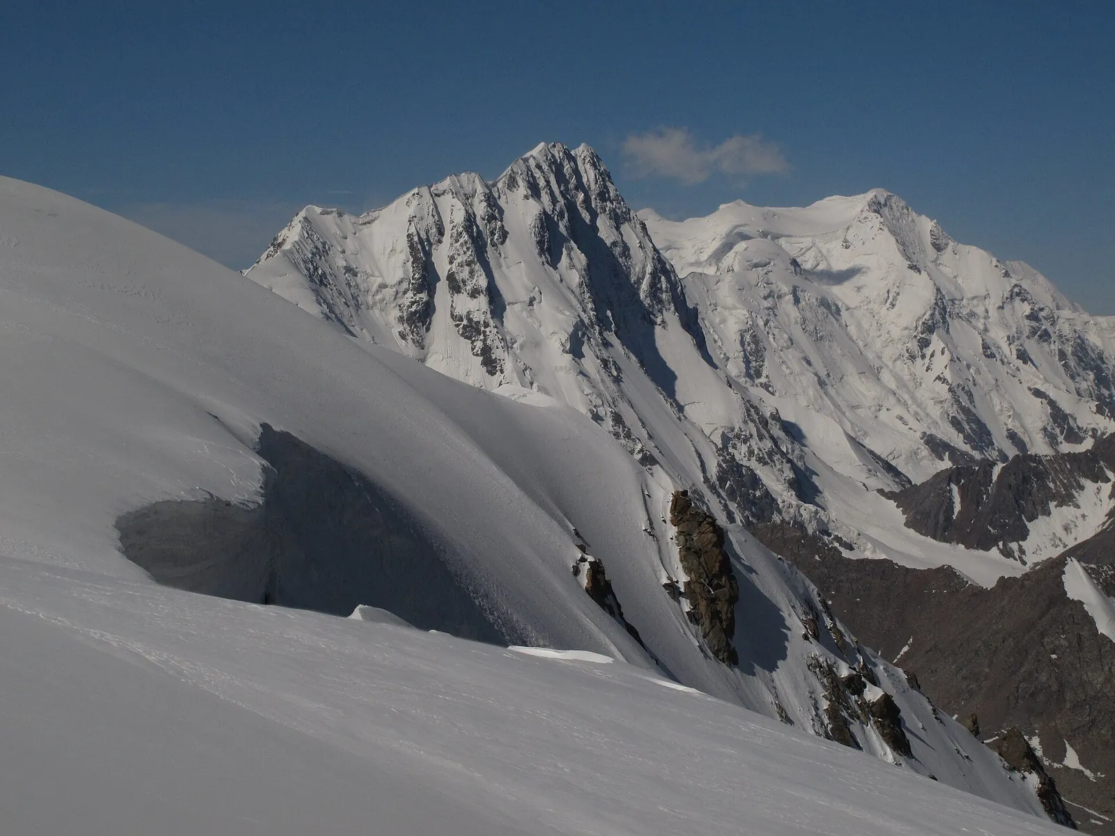
Look around the surroundings too. A few kilometres from the village, large boulders lie on the valley floor, and beyond the ridge the world of glaciers begins. The Engilchek Glacier is a few dozen kilometres from here, and that is a separate trip.
Plan your visit
Walking directions, opening times and etiquette
Getting there on foot
Address
Sary-Jaz valley, 150 km from Karakol via Chon-Ashuu
Allow enough time
- Time needed
- Best with a night
Etiquette
- People. People live here. Do not take things from houses, and do not photograph residents without permission.
- Buildings. Do not enter the adit or the ruined buildings: there is no ventilation and the floors may collapse.
Check in advance
- Opening hours
- Admission fee
- Current address of a guesthouse
- Fuel stations along the road
- State fee for the permit
Check on site
- Whether indoor photography is allowed at the entrance
- Is the road over Chon-Ashuu open? ask the driver or operator
- Is the border-zone permit ready? ask the operator
- Where to spend the night in the village ask the operator
What to bring
Ticks are saved in this browser only.
How to get there
- Getting there
- From Karakol it is about 150 km, 4–5 hours one way by an off-road vehicle. The route goes through Ak-Suu, the Ottuk gorge and the Chon-Ashuu Pass (about 3,800 m), and the road is partly unpaved. There is no public transport: you hire a car with a driver, join a tour or drive your own. Fill up in Karakol.
- Border-zone permit
- The village and the Sary-Jaz valley lie in the border zone, and at the checkpoint your passport and permit are checked. Through a travel company it costs from 3,000 som (about 35–40 dollars) and takes 5–7 working days: apply 10–14 days ahead. You need the paper version on the road; a copy on a phone will not do. On tours the permit is usually included in the price.
- When to go
- The road is in principle open all year, but in a blizzard and after avalanches it is closed for a day or longer. Snow is possible on the pass even in summer. The practical window is June to September. The Kara-Tash hot spring usually goes under the river's water from July to mid-September.
- Overnight stay
- Day trips return late, and crossing the pass at night is hard. It is calmer to stay overnight in a guesthouse or with a family; ask the operator for the address and the price.
- What to bring
- Your passport and paper permit, warm clothes, water, food and spare fuel. Mobile signal exists only in the village itself and only with one operator, and there is no internet, so download a map beforehand.
- Safety
- The area is seismically active, and landslides and avalanches sometimes block the road, so do not plan a fixed time to return. Do not enter the adit or the ruined buildings: there is no ventilation and the floors may collapse. The single rescue number is 112.
- Respect for residents
- Do not take things from houses, do not photograph people without permission, and do not walk through vegetable gardens or the cemetery.
Frequently asked questions
Do I need a permit to reach the village?
Yes. The village and the Sary-Jaz valley lie in the border zone. Without a paper permit you will be turned back at the checkpoint.
Can I do it in a day from Karakol?
You can, but the road takes 4–5 hours one way, and driving back over the pass at night is hard. A night there is calmer.
Is it really a ghost town?
It is a living village beside the ruins of a Soviet town. About 30 families live there, so look and take photographs with respect.
Nearby
- Engilchek GlacierOne of the largest glaciers of the Tian Shan lies a few dozen kilometres to the east. Helicopters fly there in July and August; it is a separate route.Engilchek Glacier and the helicopter route
- KarakolThe road starts here, and it is the easy place to hire a car and arrange the trip.Karakol
Nearby
Nearby and where to go next
- RouteEngilchek Glacier by helicopterA day trip by helicopter from Karakol to Engilchek Glacier
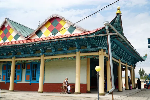 BaseKarakolA town beside the mountains: old centre, accommodation and valley trips
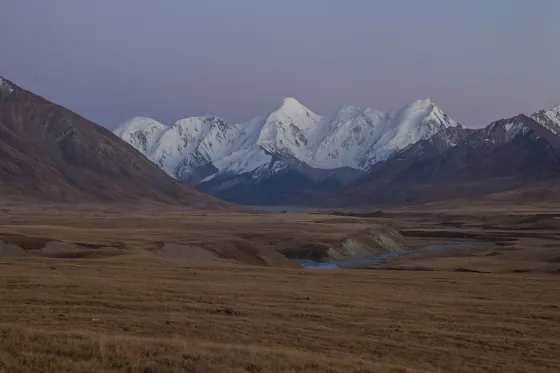 RouteSary-Jaz valleyA driving loop via Sary-Jaz and Karkara
 Route · ≈53 km as the crow fliesKarakol Peak: to the foot of the peakFour days to the foot of the peak, Lake Ala-Kol and Altyn-Arashan
 Route · ≈54 km as the crow fliesAltyn-ArashanWalk from Ak-Suu to the valley and hot springs