
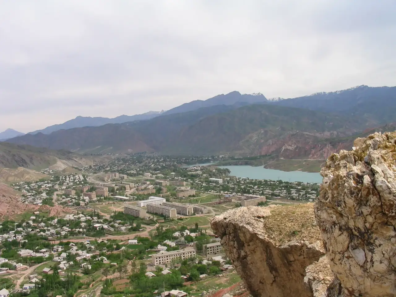
Kara-Kul
Updated How we check facts
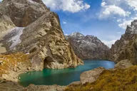
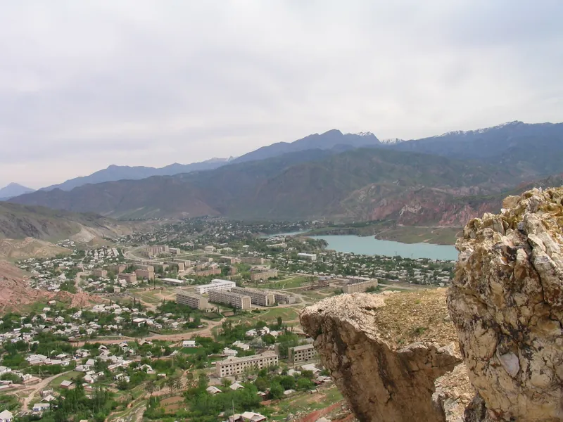
Home town of the Toktogul dam builders on the Naryn: a park, two lakes and the road to the reservoir.
- Jalal-Abad ≈186 kmAbout 3 h by car
- A park and two lakesToktogul monument ≈1 km
- 8 places nearby71 to 171 km away
- 8 places to stay8 within 1.5 km of the centre
8 places from the centre outwards
Start with places you can walk to, then roads out of town. The map shows the route from the centre to the place you are viewing.
-
≈1 km on foot1 / 8
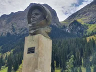
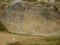
Toktogul monument
A monument to the akyn Toktogul Satylganov in the town centre, about 1 km on foot.
-
 November 17, 2006
-
 July 15, 2018
≈110 km along the road3 / 8
Toktogul
A town on the shore of the Toktogul Reservoir; about 5 km from the centre to the water.
-
 July 15, 2018
≈114 km along the road4 / 8
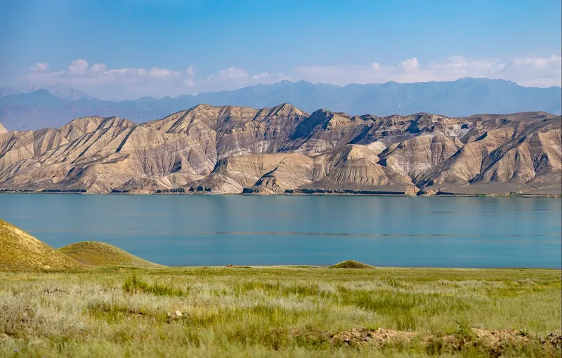
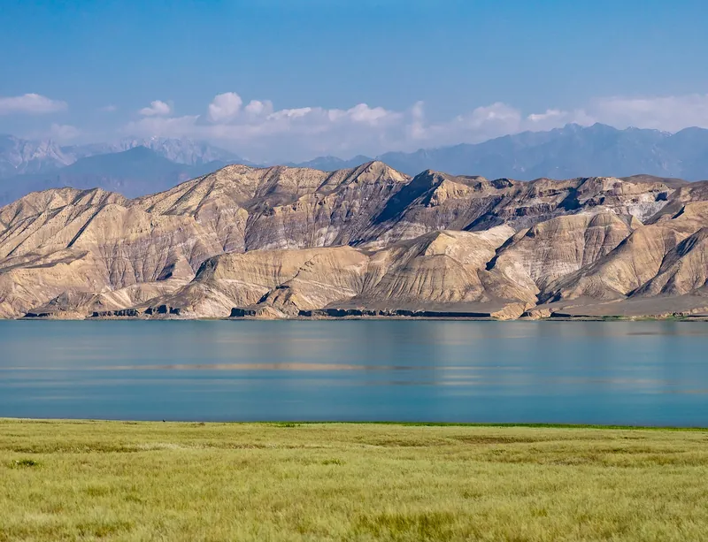
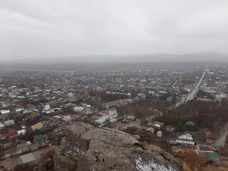
Toktogul Reservoir
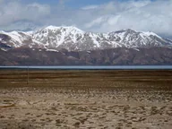
One of Central Asia’s largest reservoirs, on the Naryn: turquoise water with dry ridges behind it.
-
 March 14, 2022
≈130 km along the road5 / 8
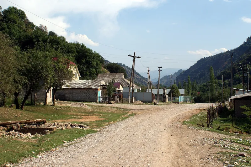
Kerben
The centre of Aksy District: a park, a House of Culture and the road to the Padysha-Ata and Sary-Chelek reserves.
-
 August 10, 2017
≈137 km along the road6 / 8
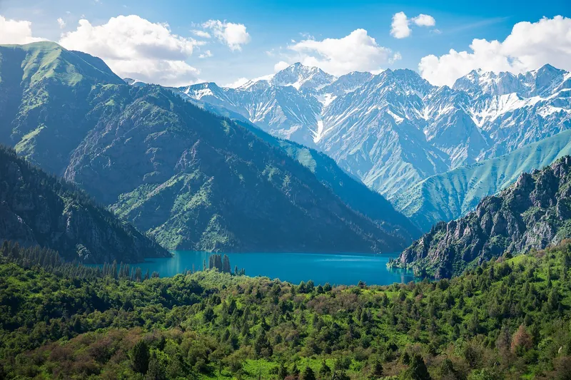
Arkit
A village at the gate of the Sary-Chelek Nature Reserve, home to its headquarters. Visitors stay in guesthouses before heading to the lakes.
-
 May 30, 2026
≈152 km along the road7 / 8
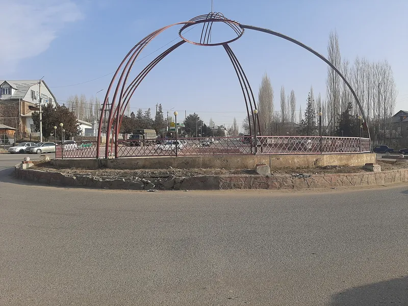
Lake Sary-Chelek
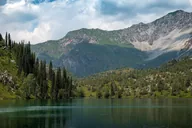
The reserve’s main lake, about 6 km long, among forested mountains. A dirt road leads to it from the gate at Arkit; there is an entry fee.
-
 December 12, 2021
≈171 km along the road8 / 8
Ala-Buka
A district centre in the west of the region, near the 11th-century Shakh Fazil mausoleum.
Kara-Kul: four seasons
Things to do in and around town throughout the year. Monthly temperatures are averages for 2016–2025, not a forecast.
-
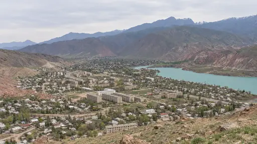
Spring
March–MayDays from +9 °C in March to +23 °C in May, nights from +3 to +14 °C.
- MarchKara-Kul +9° / +3°
- AprilKara-Kul +16° / +8°
- MayKara-Kul +23° / +14°
-
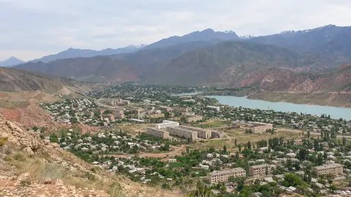
Summer
June–AugustDays +26…+28 °C, nights +17…+20 °C.
- JuneKara-Kul +26° / +17°
- JulyKara-Kul +28° / +20°
- AugustKara-Kul +27° / +19°
-
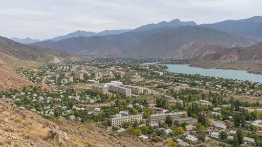
Autumn
September–NovemberDays from +24 °C in September to +8 °C in November, nights from +16 to +2 °C.
- SeptemberKara-Kul +24° / +16°
- OctoberKara-Kul +16° / +9°
- NovemberKara-Kul +8° / +2°
-
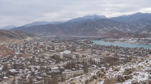
Winter
December–FebruaryDays around +1…+4 °C, nights down to −3 °C.
- DecemberKara-Kul +3° / −2°
- JanuaryKara-Kul +1° / −3°
- FebruaryKara-Kul +4° / −1°
Getting here and getting around town
How to get there
From Jalal-Abad
about 3 hAbout 186 km by road. Departures at 8:20 and 11:40; check the schedule for your date.
From Bishkek
about 6 hAbout 381 km on the Bishkek–Osh highway. Check transport for your date.
Getting around town
- On foot. The town centre, the park and the lakes are walkable; Toktogul and Tash-Komur need a car.
Contact and help
112 single emergency number
- 101 fire and rescue
- 102 police
- 103 ambulance
You can call 112 with a local SIM or without one.
Check in advance
- Whether hotels are open, and prices
- The bus schedule
- Mobile network coverage
Check on site
- Road conditions and transport back At your accommodation
- Price and availability Accommodation host
Where to stay: 8 of 8 places are within 1.5 km of the centre
How many places
- Within 1.5 km from the centre
- 8 of 8
Options with names, from the centre outwards
- Bridge Guesthouseguesthouse
- Ak Niethotel
- Hotel Altynhotel
- VIP Guesthouseguesthouse
- Turisthotel
Kara-Kul in photos
Real photos, each with the date it was taken. Tap or click to enlarge.
- March 14, 2022
- May 30, 2026
- August 10, 2017
- July 15, 2018
- July 15, 2018
- December 12, 2021
- November 17, 2006
Guides and ready-made itineraries
Pages that include this place in a guide or itinerary.
Routes and programmes
Nearby and where to go next
- Base · ≈35 km as the crow fliesToktogulReservoir town on the Bishkek–Osh highway: trips to the Ala-Bel and Too-Ashuu passes and Chychkan Gorge.
- Route · ≈27 km as the crow fliesToktogul ReservoirWalk from Toktogul to a reservoir viewpoint
- Base · ≈49 km as the crow fliesTash-KomurA former mining town in the Naryn canyon on the way to Sary-Chelek and Arslanbob.
- Base · ≈78 km as the crow fliesKerbenCentre of Aksy District: a park, the Bospiek memorial and trips to the Padysha-Ata and Sary-Chelek reserves.
- Base · ≈63 km as the crow fliesArkitA village at the gates of the Sary-Chelek Nature Reserve: a night in a guesthouse before the lakes.
- Route · ≈66 km as the crow fliesLake Sary-ChelekOver the pass to lakes and walnut forests
- Base · ≈102 km as the crow fliesAla-BukaA district centre near the Shakh Fazil mausoleum, on the roads to Sary-Chelek and Padysha-Ata.
 Base · ≈39 km as the crow fliesArslanbobA village amid walnut forests: stays with local families, walks and trips to waterfalls.