Updated · Facts are checked against independent sources; where they disagree, we say so · How we check facts
Reservoir town on the Bishkek–Osh highway: trips to the Ala-Bel and Too-Ashuu passes and Chychkan Gorge.
5–7 h from BishkekMarshrutka, ≈530–700 som
Centre on footHouse of Culture: 1 km
7 places nearbyMarshrutkas from bus station
15 places to stay15 within 1.5 km of the centre
Kyrgyz SeasonsPlanning a trip?Ask about a trip→hello@kyrgyzseasons.com
7 places from the centre outwards
Start with places you can walk to, then roads out of town. The map shows the route from the centre to the place you are viewing.
≈5.2 km along the road1 / 7 · Reservoir shore
July 15, 2018
1
≈5.2 km along the road1 / 7
Reservoir shore
By car or taxi, then on footMay–October
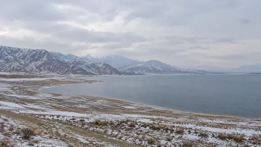
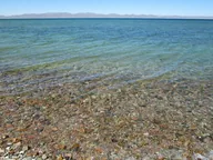
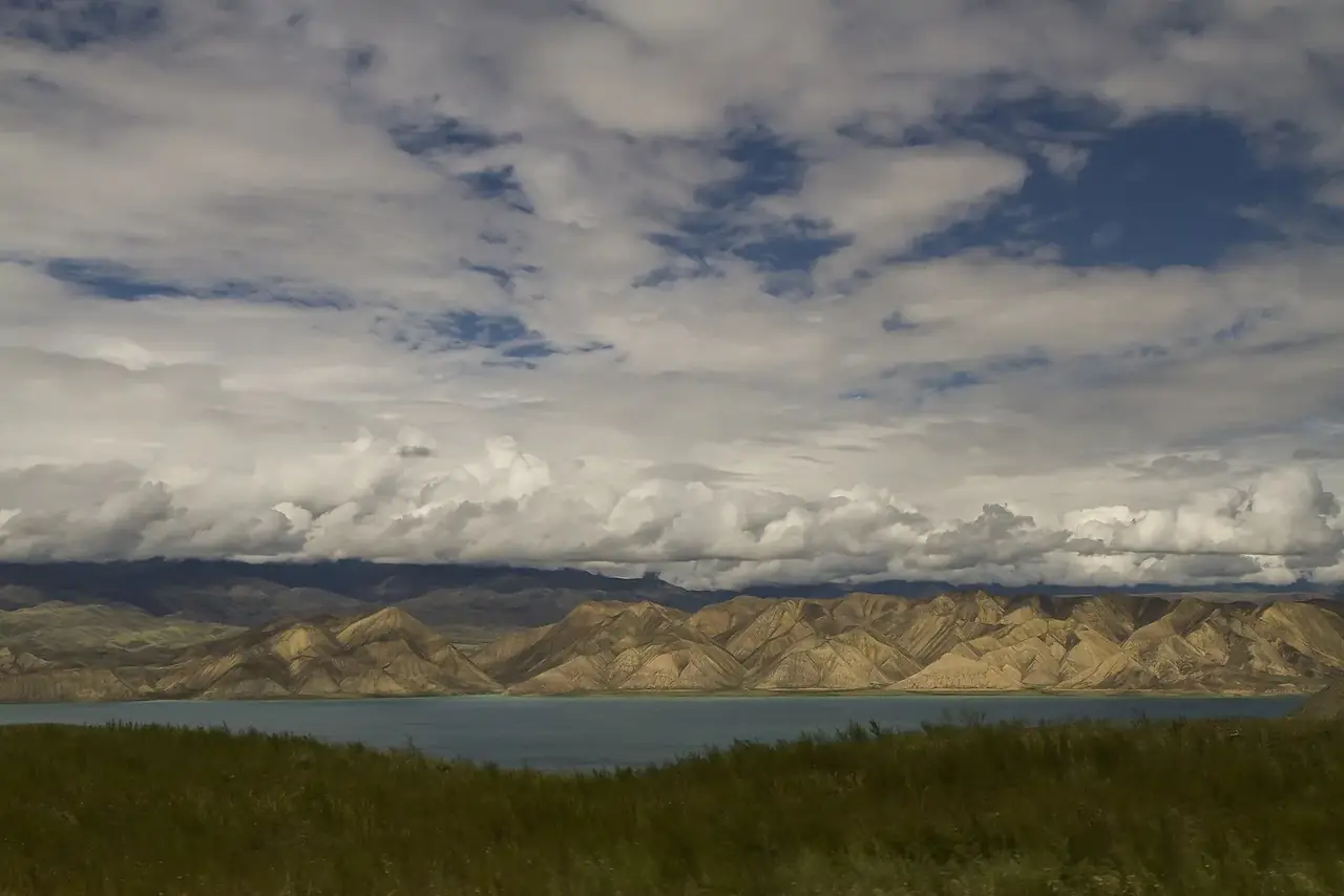
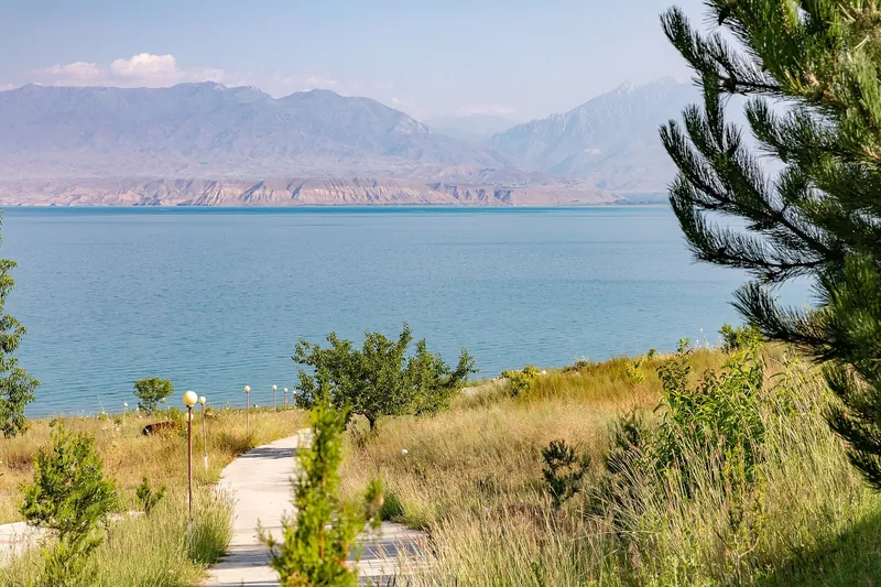
Toktogul Reservoir on the Naryn is one of the largest lakes in Central Asia. The shore is about 5 km from town; the water is turquoise, with dry ridges beyond.
August 8, 2018
2
≈1.1 km on foot2 / 7
House of Culture
On footAll year round
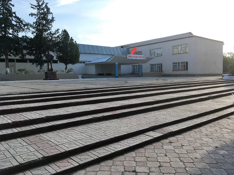
A pale House of Culture with a blue roof and wide steps. Easy to include in a walk around town from the bus station.
July 15, 2018
3
≈57 km along the road3 / 7
Chychkan Gorge
By car, north along the highwayMay–October
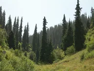
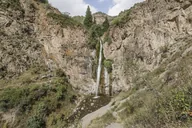
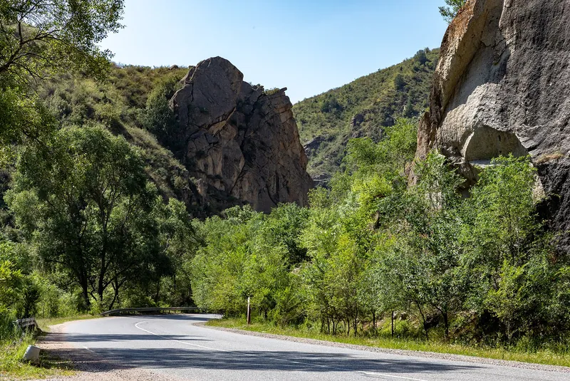
A gorge on the highway north of town: the road runs between cliffs and riverside thickets. The local tourist centre runs day hikes here.
July 15, 2018
4
≈65 km along the road4 / 7
Ala-Bel Pass
By car on the Bishkek–Osh highwayMay–October
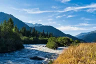
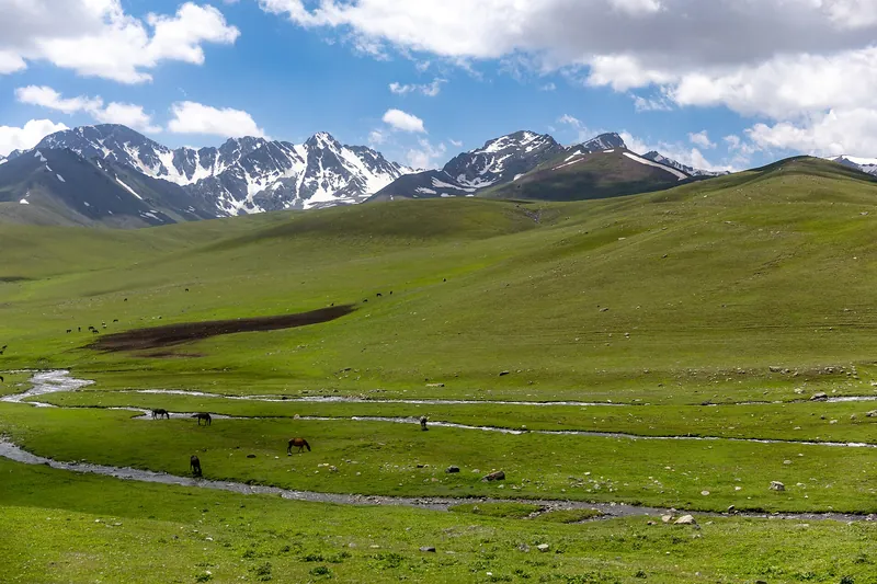
A pass about 3,175 m high links the Chychkan and Suusamyr valleys. Meadows and mountains all around, with a river running beside the road.
July 15, 2018
5
≈152 km along the road5 / 7
Suusamyr Valley
By car on the highway, beyond the Ala-Bel PassJune–September
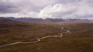
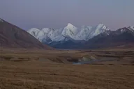
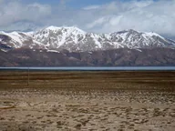
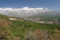
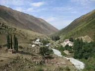
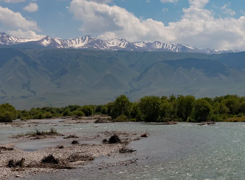
A high mountain valley beyond the Ala-Bel Pass: a wide river floodplain, green shrubs and a ridge of snowy peaks. Suusamyr village sits right by the highway.
September 8, 2022
6
≈148 km along the road6 / 7
Too-Ashuu Pass
By car on the Bishkek–Osh highwayMay–October
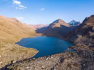
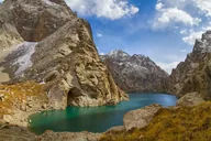
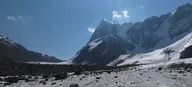
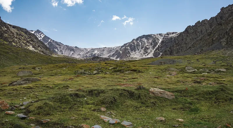
A high pass on the Bishkek–Osh highway, above 3,500 m. Meadows and rocks beneath the snowy, craggy slopes of the Kyrgyz Ala-Too range.
7
≈119 km along the road7 / 7
Toktogul Hydro Plant
By car, south-west along the highwayMay–October
A dam and power station on the Naryn River, commissioned in 1975. The town of Kara-Kul is nearby. Photography near guarded areas only with permission.
Toktogul: four seasons
Things to do in and around town throughout the year. Monthly temperatures are averages for 2016–2025, not a forecast.
Spring
March–May
A gently sloping shore and a green valley under a cloudy sky. By day from +6 °C in March to +19 °C in May, nights around zero.
MarchToktogul +6° / 0°
AprilToktogul +13° / +5°
MayToktogul +19° / +9°
August 8, 2018
Summer
June–August
Clear blue water by a pebble shore, with a dry ridge beyond. +22…+25 °C by day, +12…+15 °C at night.
JuneToktogul +22° / +12°
JulyToktogul +25° / +16°
AugustToktogul +24° / +15°
Autumn
September–November
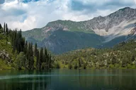
Autumn trees above calm water, the far shore in the mountains. By day from +20 °C in September down to +5 °C in November.
SeptemberToktogul +20° / +12°
OctoberToktogul +13° / +5°
NovemberToktogul +5° / −3°
Winter
December–February
In winter about 0 °C by day, down to −8 °C at night. The highway town stays open; trips over the passes depend on the weather.


 July 15, 2018
 August 8, 2018
 July 15, 2018
 July 15, 2018
 July 15, 2018
 September 8, 2022